

Hill data: The Database of British and Irish Hills v18.6 (CC BY 4.0)Height918 m3,012 ft
Grid RefNG 447 235
OS Map411OS Explorer
RegionSkye & Mull
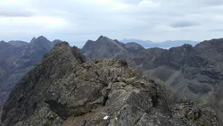
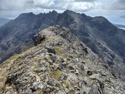
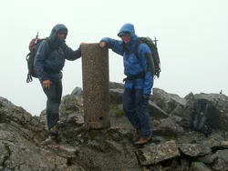
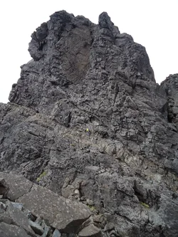
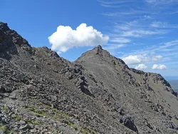
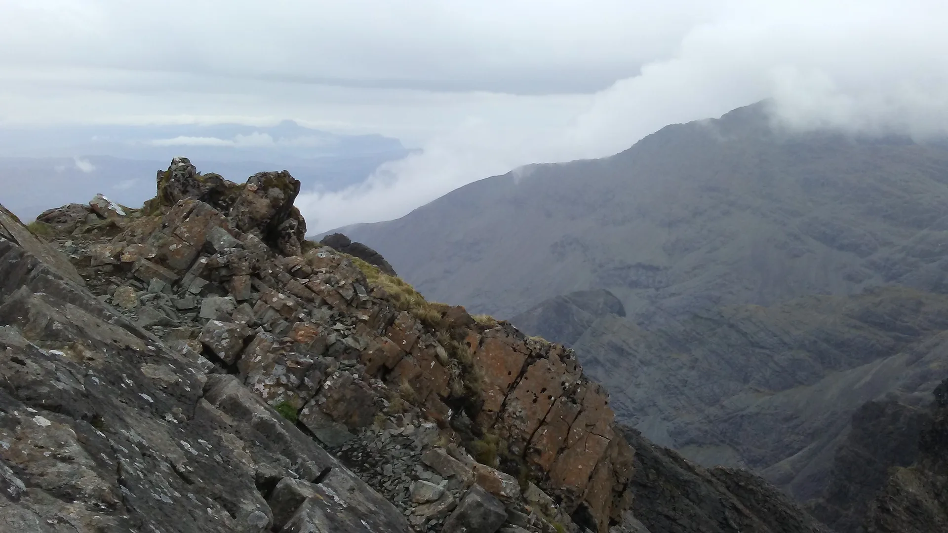
Sgùrr a' Mhadaidh, 'peak of the fox' or dog, is a cluster of four summits on Skye's Black Cuillin ridge, overlooking Coir' a' Mhadaidh. Only the highest, which has a cairn, is within reach of scramblers; the other three need rock-climbing skills and gear. The first ascent may have been made in 1887 by John Mackenzie and H. C. Hart, and the simplest way up is via the gap of An Dorus.
New to the Munros?Read our guide: What Are The Munros?Summit
Cairn
Rock & Ground
Grippy gabbro, with a scramble to the highest of its four tops.
Also On These Lists
Simm
Summit Weather
Our Route
Distance6.0 mi9.6 km
Ascent890 m2,920 ft
Time3h 55mwalking
Start & FinishA car park near GlenbrittleNG 4094 2249 · circular route
DirectionsAlso on this route: Sgurr a' Ghreadaidh
Safety: Routes are a guide only. Carry a map and compass and know how to use them, check the weather before you go, and turn back if in doubt. You use this route at your own risk.