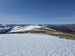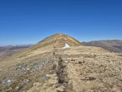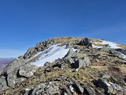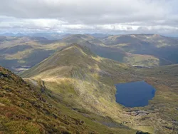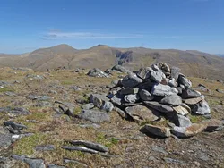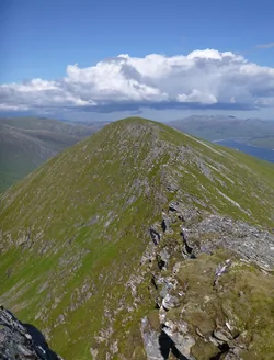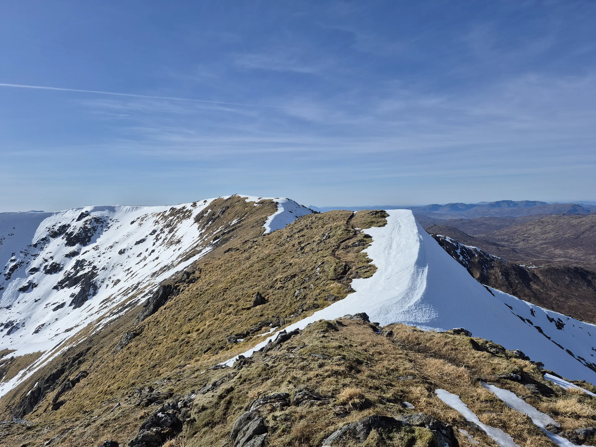


An Socach, 'the snout', is the farthest west of the four Munros above the north shore of Loch Mullardoch, so reaching it is a long day. A narrow, often windy col joins it to An Riabhachan. The summit ridge curls round a steep corrie that falls about 200 m to a small lochan, and a trig point stands on the top. Some walkers use the Loch Mullardoch ferry to cut out the long lochside walk back to the dam.
New to the Munros?Read our guide: What Are The Munros?Trig point
Mostly heather and grass, less craggy than its neighbours, with one steep corrie.
MarilynSimm
Summit Weather
Our Route
No path for 13.4 kmAbout 13.4 km of this route has no path on the map (longest stretch 2.7 km). Expect rough, pathless ground. You will need a map and compass and the skills to use them.
Also on this route: Sgurr na Lapaich, An Riabhachan, Carn nan Gobhar (Loch Mullardoch)
Safety: Routes are a guide only. Carry a map and compass and know how to use them, check the weather before you go, and turn back if in doubt. You use this route at your own risk.