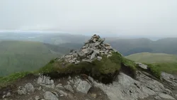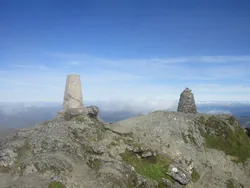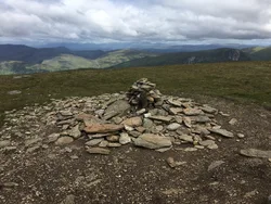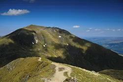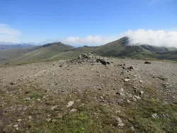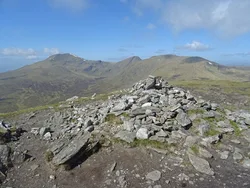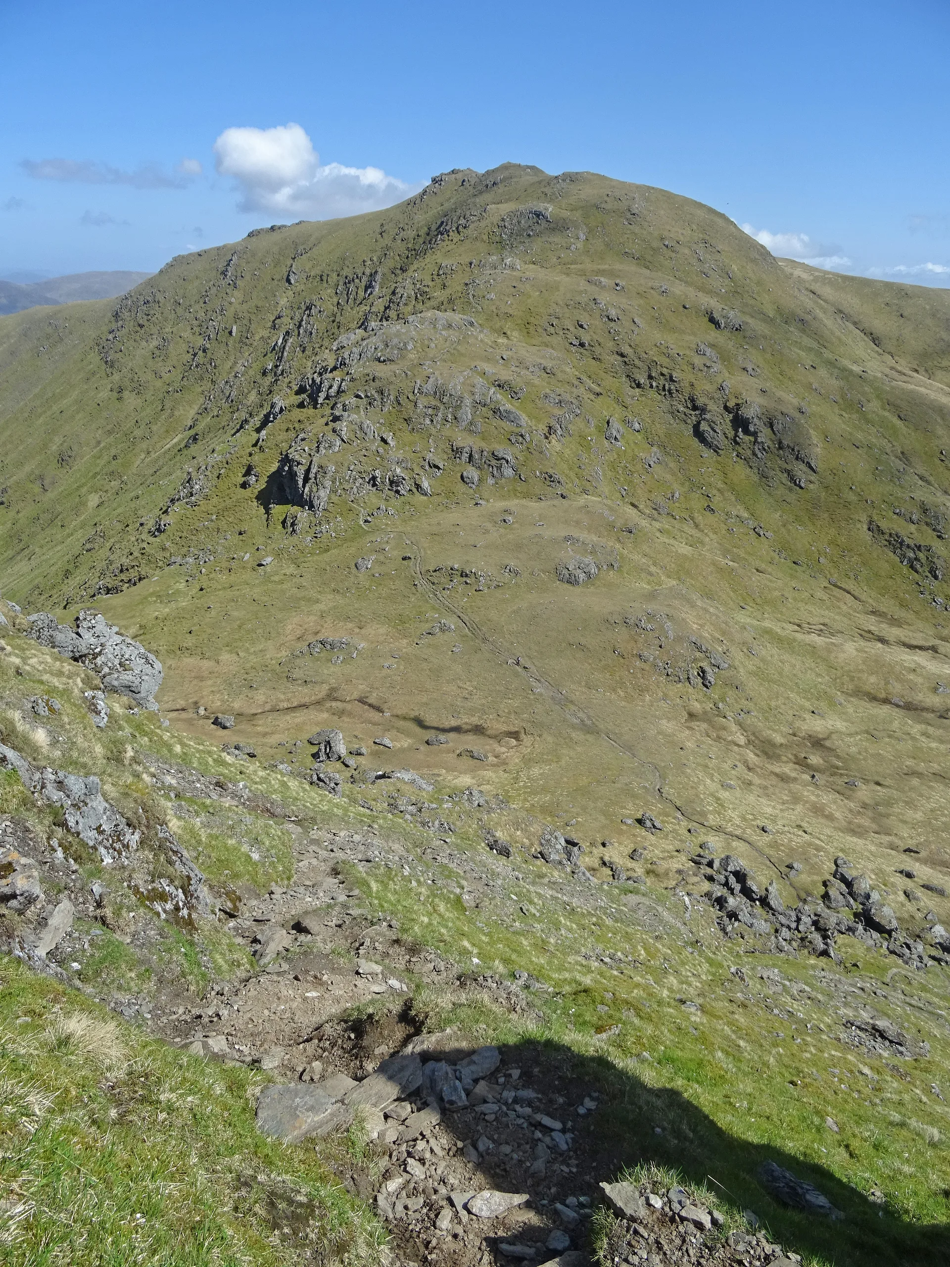

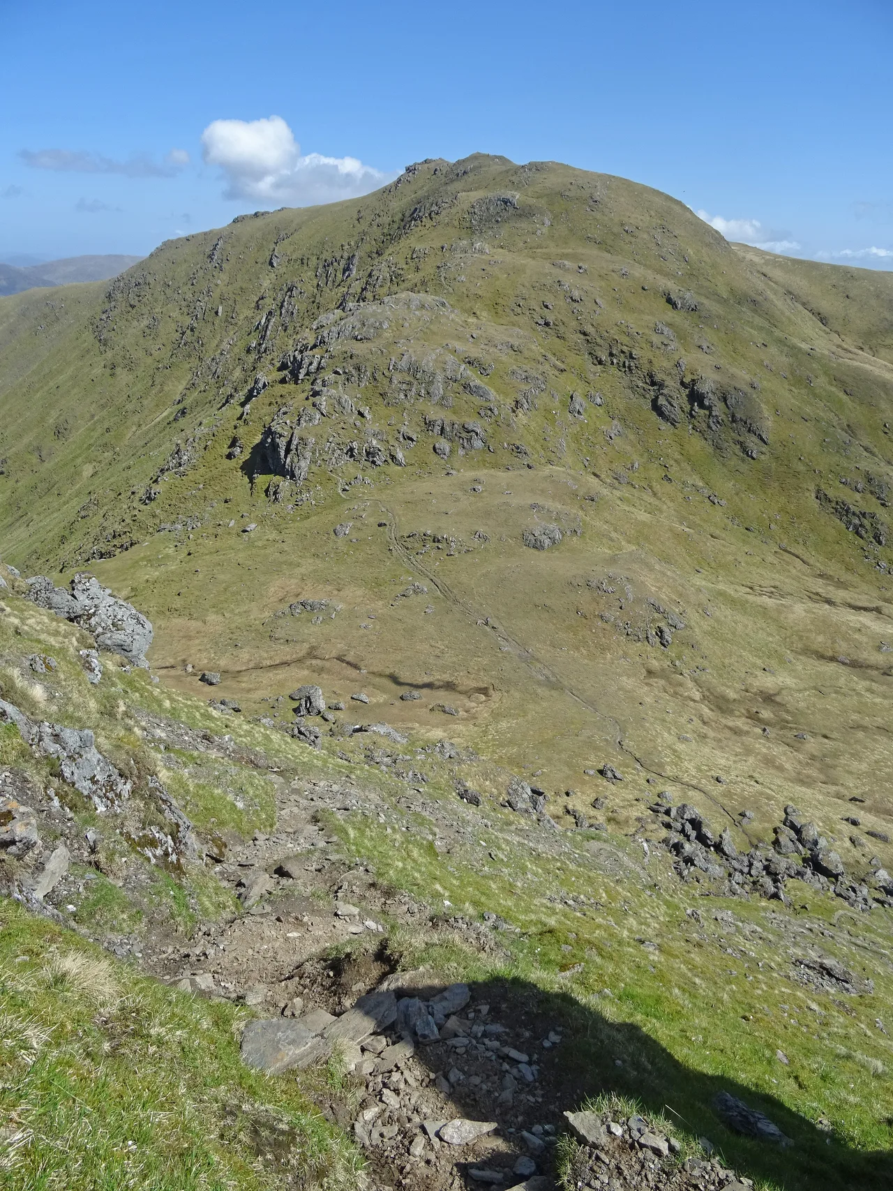


An Stùc, simply 'the peak', is a cone-shaped summit on the main Ben Lawers ridge, between Ben Lawers and Meall Garbh. It only became a Munro in 1997; before that it was counted as a subsidiary top of the range. There's a cairn, but the highest point is a large rock about 25 m to the north-east. Its southern and eastern slopes are part of the Ben Lawers National Nature Reserve, owned by the National Trust for Scotland.
New to the Munros?Read our guide: What Are The Munros?Large rock 25 m north-east of cairn
Steep cone of calcareous mica-schist, with a gully dropping to Lochan nan Cat.
HuMPSimm
Summit Weather
Our Route
Also on this route: Ben Lawers, Meall Garbh (Ben Lawers), Beinn Ghlas, Meall Greigh
Safety: Routes are a guide only. Carry a map and compass and know how to use them, check the weather before you go, and turn back if in doubt. You use this route at your own risk.