

Hill data: The Database of British and Irish Hills v18.6 (CC BY 4.0)Height1,103.4 m3,620 ft
Grid RefNN 625 404
OS MapOL48 & 378OS Explorer
RegionLoch Tay to Rannoch
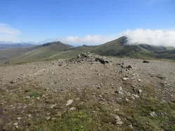
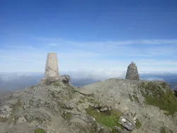
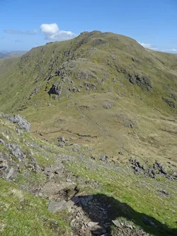
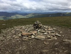
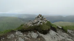
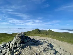
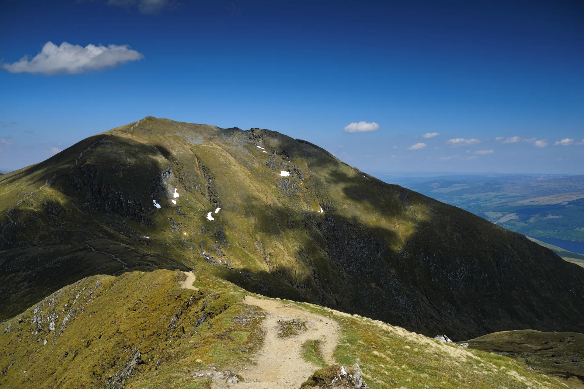
Most walkers cross Beinn Ghlas on their way to Ben Lawers, as it sits on the simplest route up from the car park above Loch Tay. Its name means 'grey-green mountain', after the colour of its mica-schist. Look closely at the outcrops beside the path and you'll see large garnets set in the rock. A cairn marks the top, and the deep hollow of Coire Odhar lies just to the north.
New to the Munros?Read our guide: What Are The Munros?Summit
Cairn
Rock & Ground
Mica-schist studded with garnets, breaking into scree on the south-western side.
Also On These Lists
HuMPSimm
Summit Weather
Our Route
Distance15.6 mi25.0 km
Ascent1,970 m6,460 ft
Time9h 35mwalking
Start & FinishBen Lawers car parkNN 6085 3770 · circular route
DirectionsAlso on this route: Ben Lawers, Meall Garbh (Ben Lawers), An Stuc, Meall Greigh
Safety: Routes are a guide only. Carry a map and compass and know how to use them, check the weather before you go, and turn back if in doubt. You use this route at your own risk.