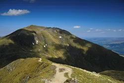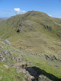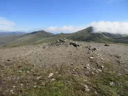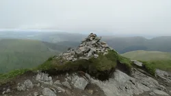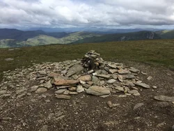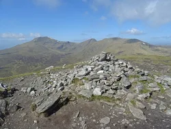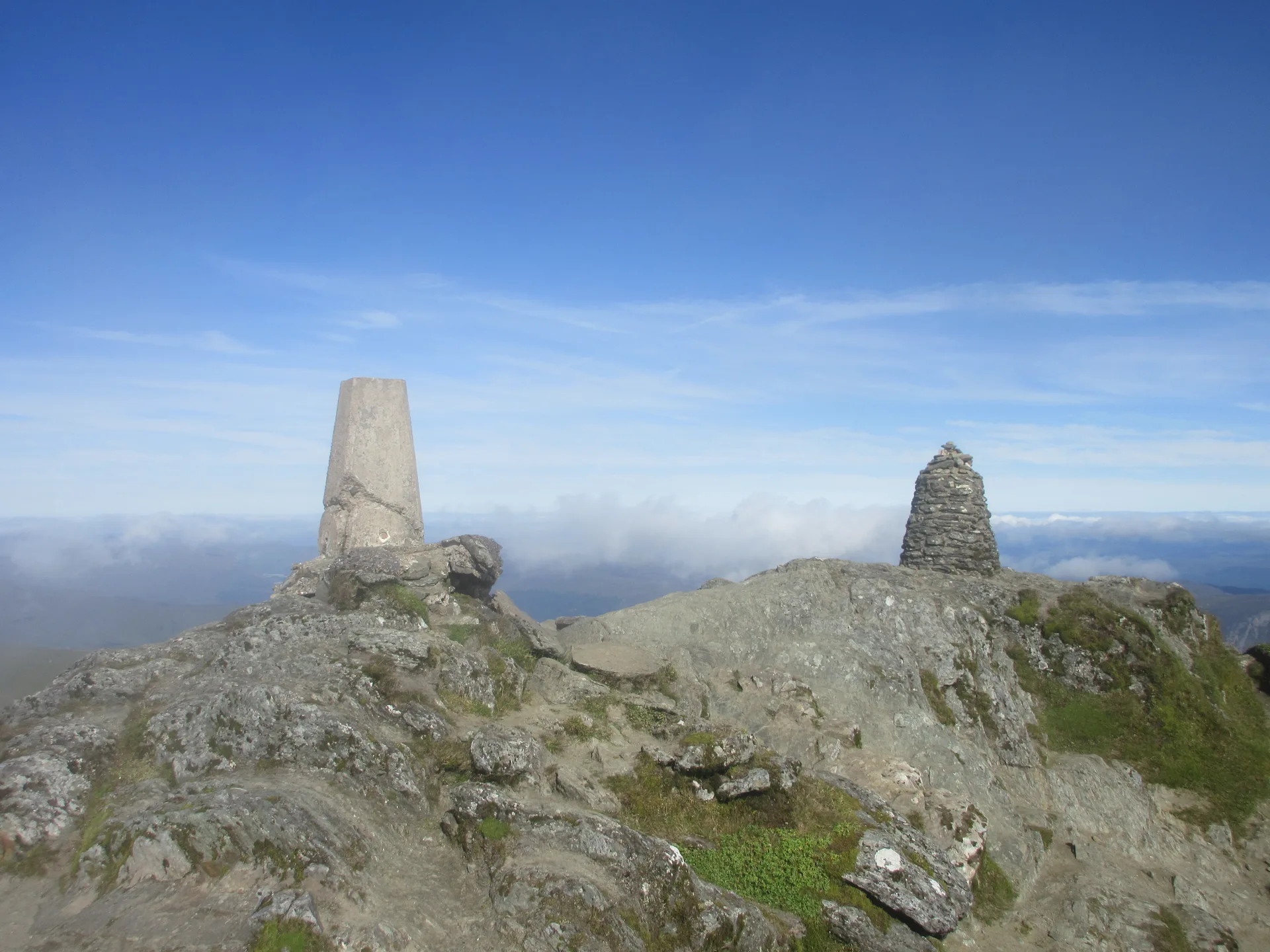


Ben Lawers is the highest hill in Perthshire, rising north of Loch Tay, and its summit has a trig point. In 1878 a party of twenty men built a cairn about 6 m high to try to push it over 4,000 feet, but it's long gone. The mountain is one of the best places in Britain for arctic-alpine plants, and the National Trust for Scotland has owned most of its southern side since 1950. The Gaelic name, Beinn Labhair, is translated as 'mountain of the loud stream'.
New to the Munros?Read our guide: What Are The Munros?Trig point
Calcareous mica-schist, with lime-rich soils that support rare mountain plants.
MarilynSimmCounty Top
Summit Weather
Our Route
Also on this route: Meall Garbh (Ben Lawers), An Stuc, Beinn Ghlas, Meall Greigh
Safety: Routes are a guide only. Carry a map and compass and know how to use them, check the weather before you go, and turn back if in doubt. You use this route at your own risk.