

Hill data: The Database of British and Irish Hills v18.6 (CC BY 4.0)Height980 m3,215 ft
Grid RefNN 109 328
OS Map377OS Explorer
RegionGlen Coe & Glen Etive
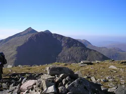
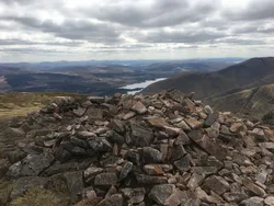
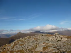
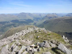
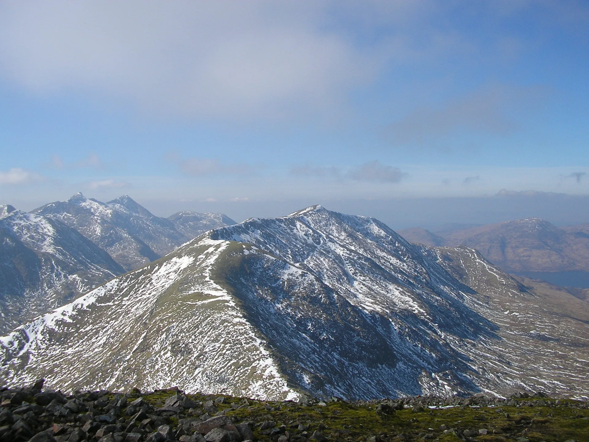
Beinn a' Chochuill sits east of Loch Etive, partly hidden behind the Ben Cruachan range, and its summit looks straight across at the Cruachan hills. The name has been translated as 'hill of the shell' or 'hooded peak'. Its long, broad, grassy summit ridge runs for nearly 1 km to a cairn on a rock slab, and it's usually climbed with Beinn Eunaich to the east.
New to the Munros?Read our guide: What Are The Munros?Summit
Cairn on rock slab
Rock & Ground
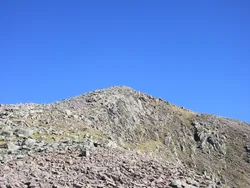
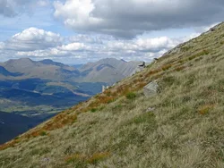
Broad grassy summit ridge with boggy patches lower down and a rock slab at the top.
Also On These Lists
MarilynSimm
Summit Weather
Our Route
Distance10.2 mi16.4 km
Ascent1,130 m3,710 ft
Time6hwalking
Start & FinishKilchurn Castle Car ParkNN 1388 2797 · circular route
DirectionsAlso on this route: Beinn Eunaich
Safety: Routes are a guide only. Carry a map and compass and know how to use them, check the weather before you go, and turn back if in doubt. You use this route at your own risk.