

Hill data: The Database of British and Irish Hills v18.6 (CC BY 4.0)Height1,012.2 m3,321 ft
Grid RefNN 254 084
OS MapOL39 & 364OS Explorer
RegionSouthern Highlands
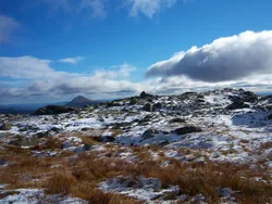
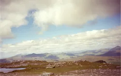
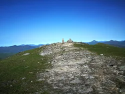
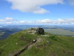
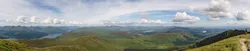
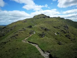
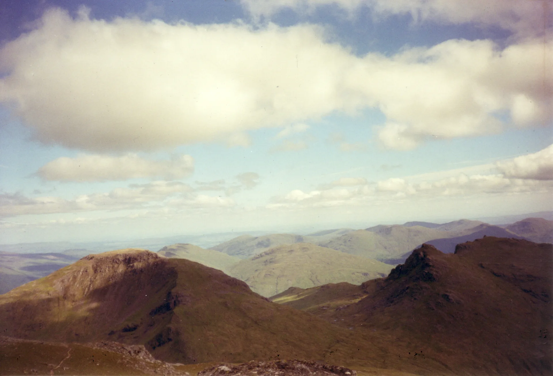
Beinn Ime, Gaelic for 'butter mountain', is the highest of the Arrochar Alps, standing between The Cobbler and Beinn Narnain. It's been called the landmark that marks the way into Argyll, dividing the Loch Lomond country from the hills around Loch Fyne and Loch Goil. Its summit cairn is built on the remains of an old trig point, and the hill is well seen from Butterbridge in Glen Kinglas.
New to the Munros?Read our guide: What Are The Munros?Summit
Cairn on remains of old trig point
Rock & Ground
Big hill at the head of the Arrochar Alps, with a cairn built over an old trig point.
Also On These Lists
MarilynSimm
Summit Weather
Our Route
Distance11.5 mi18.5 km
Ascent1,640 m5,380 ft
Time7h 25mwalking
Start & FinishSuccoth Car ParkNN 2951 0492 · circular route
DirectionsAlso on this route: Beinn Narnain, Ben Vane
Safety: Routes are a guide only. Carry a map and compass and know how to use them, check the weather before you go, and turn back if in doubt. You use this route at your own risk.