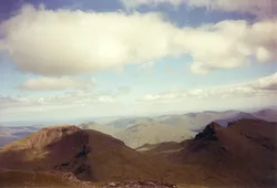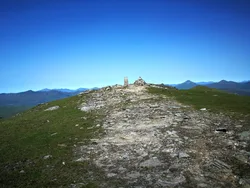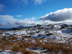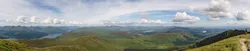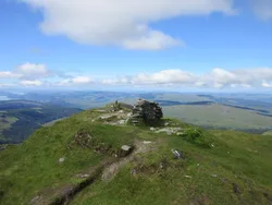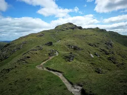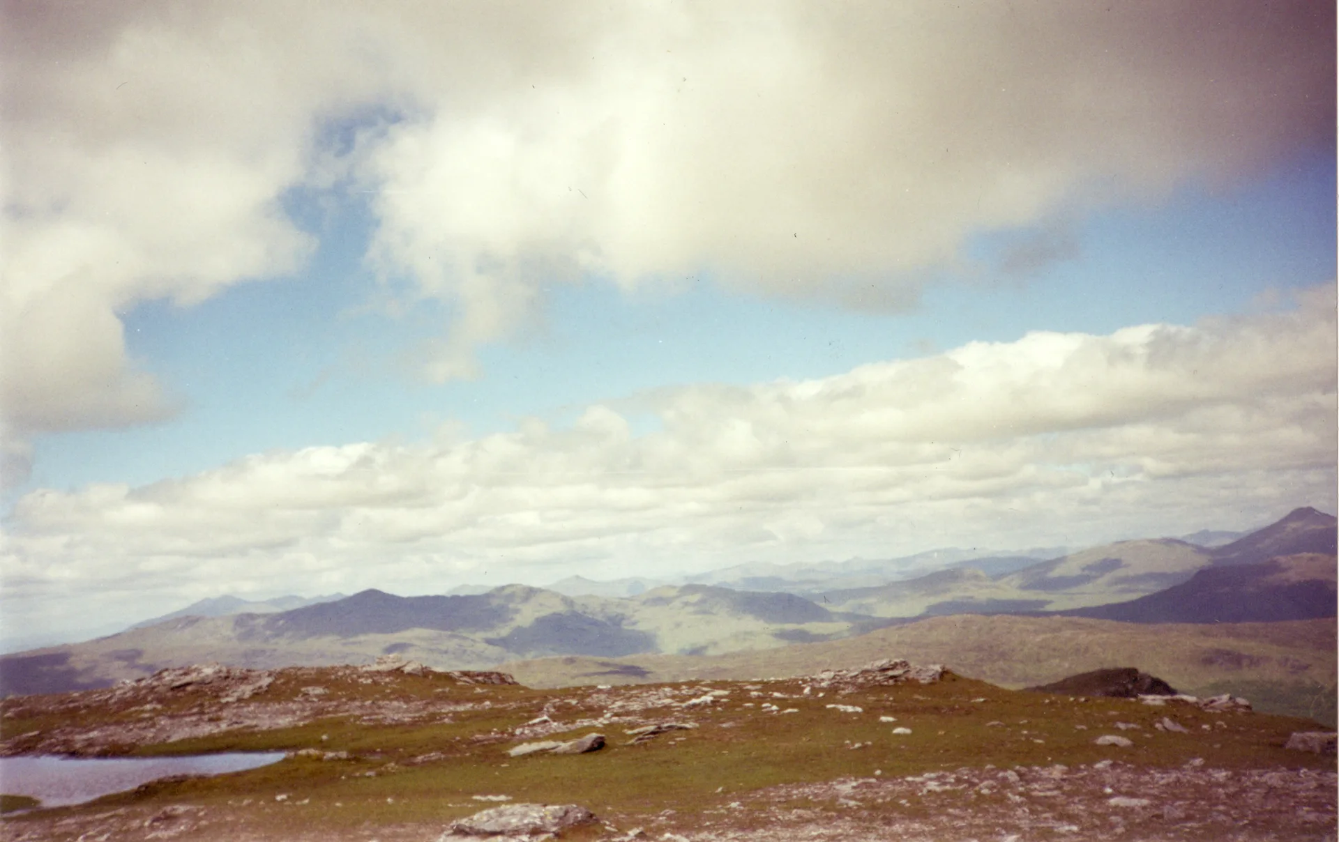


Ben Vane stands a little apart from the other Arrochar Alps, between Beinn Ìme and Ben Vorlich. Its Gaelic name, Beinn Mheadhain, means 'middle mountain'. The top is a small plateau, with the highest point on a rock outcrop beside a small cairn. In the late 1940s a quarry on its southern slopes supplied crushed stone for the Loch Sloy dam, carried there on a conveyor belt. From the summit you can see Loch Sloy, Ben Vorlich and, to the east, Lochs Arklet and Katrine.
New to the Munros?Read our guide: What Are The Munros?Rock outcrop near small cairn
Schist (psammite and pelite) with steep, rugged eastern and southern flanks and boggy, craggy ground low down.
MarilynSimm
Summit Weather
Our Route
Also on this route: Beinn Ime, Beinn Narnain
Safety: Routes are a guide only. Carry a map and compass and know how to use them, check the weather before you go, and turn back if in doubt. You use this route at your own risk.