

Hill data: The Database of British and Irish Hills v18.6 (CC BY 4.0)Height926.8 m3,041 ft
Grid RefNN 271 066
OS MapOL39 & 364OS Explorer
RegionSouthern Highlands
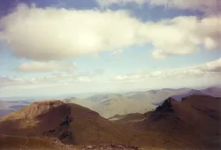
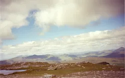
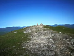
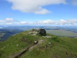
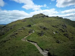
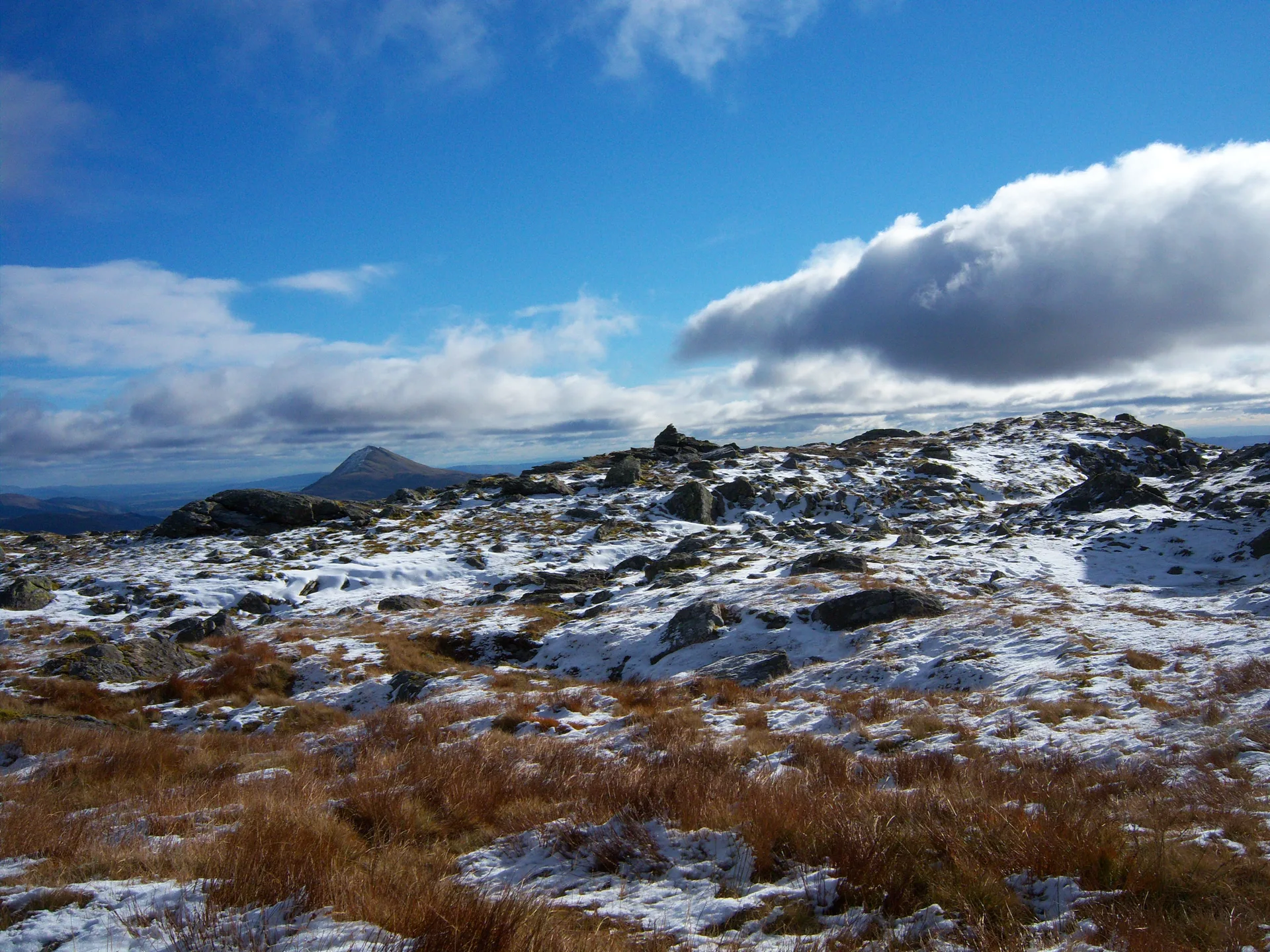
Beinn Narnain is a rocky peak in the Arrochar Alps, and its Gaelic name means 'hill of notches', after its jagged outline. The usual way up from Succoth follows a line of concrete blocks that once carried a cable railway used to build the Loch Sloy hydro-electric scheme. Near the top, crags called the Spearhead are skirted by a steep gully, and the summit is a rock outcrop beside a trig point.
New to the Munros?Read our guide: What Are The Munros?Summit
Rock outcrop by trig point
Rock & Ground
Very rocky little mountain with a craggy south ridge, mild scrambling and several false summits.
Also On These Lists
MarilynSimm
Summit Weather
Our Route
Distance11.5 mi18.5 km
Ascent1,640 m5,380 ft
Time7h 25mwalking
Start & FinishSuccoth Car ParkNN 2951 0492 · circular route
DirectionsAlso on this route: Beinn Ime, Ben Vane
Safety: Routes are a guide only. Carry a map and compass and know how to use them, check the weather before you go, and turn back if in doubt. You use this route at your own risk.