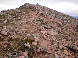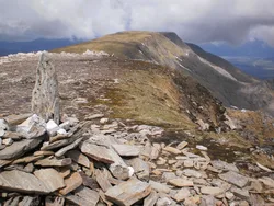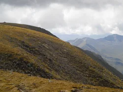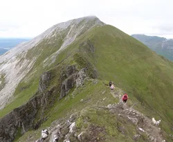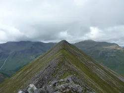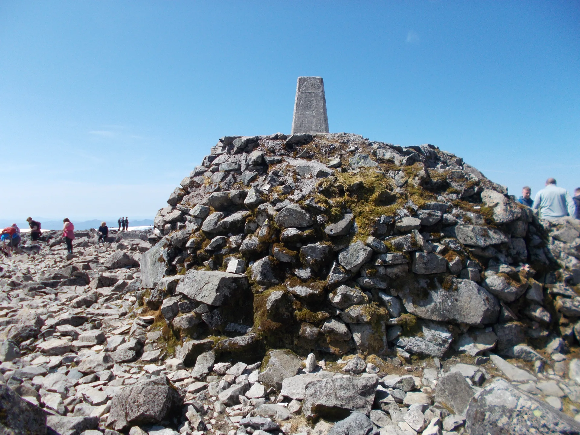


Ben Nevis is the highest mountain in Britain, and its broad, stony summit holds the ruins of a weather observatory that was manned all year round from 1883 to 1904, with an emergency shelter on top of the old tower and a trig point on a big cairn. On the north side, cliffs of around 600 metres drop into Coire Leis. The name is linked to the River Nevis below, and is thought to mean something like 'venomous' or 'misty'.
New to the Munros?Read our guide: What Are The Munros?No marker: natural ground 10 m north-west of trig point
The worn-down core of an ancient volcano that collapsed in on itself: dark lava on the summit dome and cliffs, pale granite lower down.
MarilynSimmCounty Top
Summit Weather
Our Route
No path for 1.8 kmAbout 1.8 km of this route has no path on the map (longest stretch 1 km). Expect rough, pathless ground. You will need a map and compass and the skills to use them.
Also on this route: Carn Mor Dearg
Safety: Routes are a guide only. Carry a map and compass and know how to use them, check the weather before you go, and turn back if in doubt. You use this route at your own risk.