


Hill data: The Database of British and Irish Hills v18.6 (CC BY 4.0)Height928.8 m3,047 ft
Grid RefNG 529 217
OS Map411OS Explorer
RegionSkye & Mull
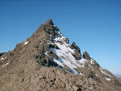
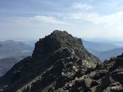
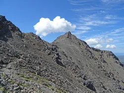
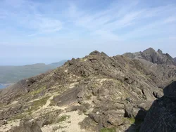
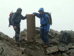
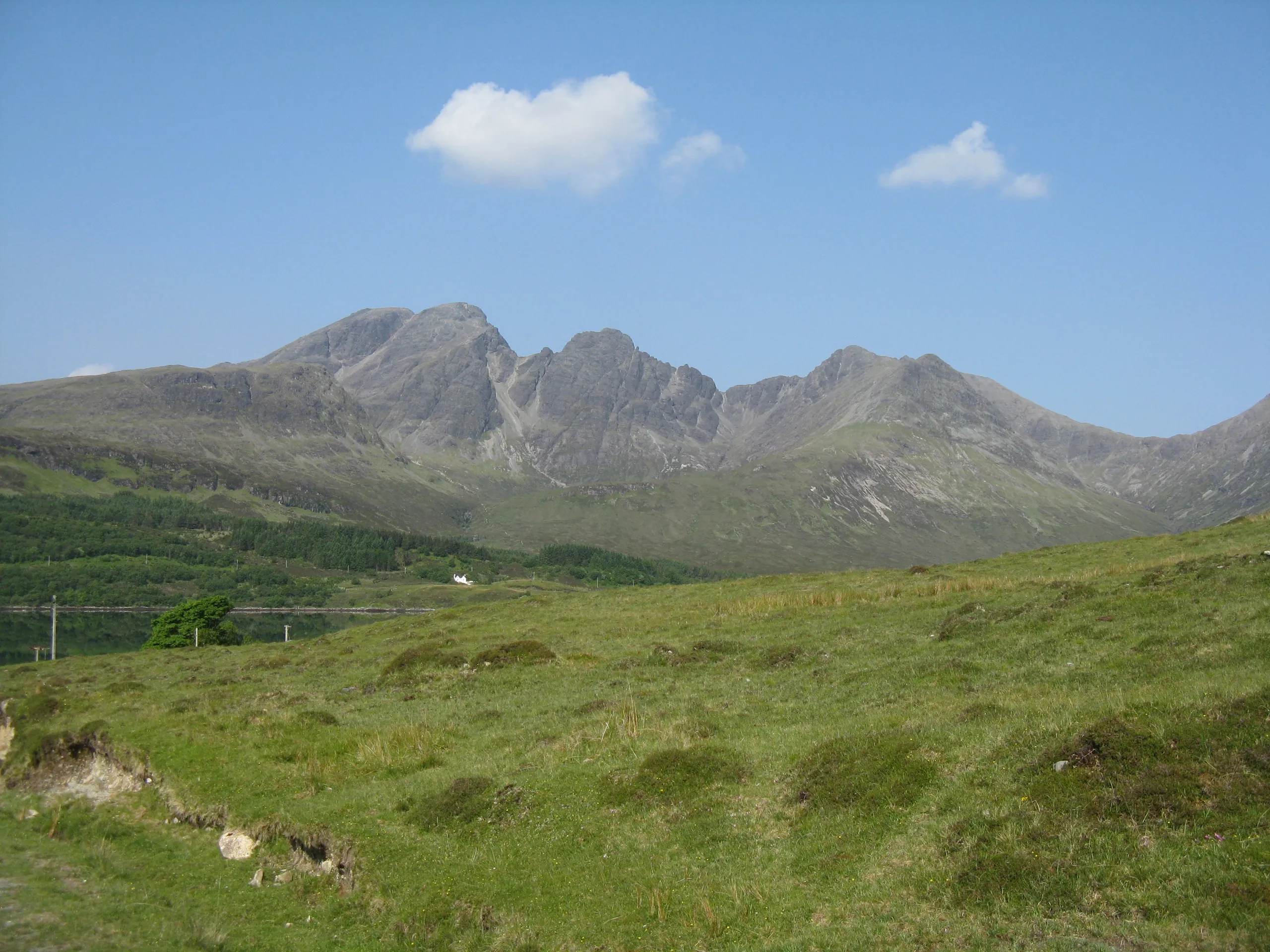
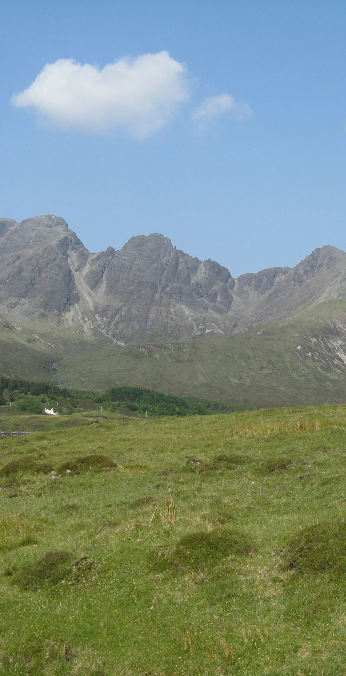
Blà Bheinn stands apart from the main Cuillin ridge on Skye, and its top has a trig point with a cairn and a boulder just beside it. The name is thought to mean 'blue mountain', mixing Old Norse blá with Gaelic beinn. The rock is the worn-down root of a volcano that was active around 60 million years ago, and the mountain appears in Mary Stewart's 1956 thriller Wildfire at Midnight.
New to the Munros?Read our guide: What Are The Munros?Summit
Boulder by cairn 5 m west of trig point
Rock & Ground
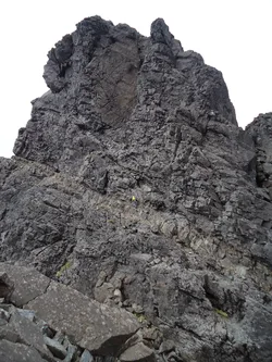
Grippy gabbro, with sharp ridges, scree-covered slopes and glacier-carved corries.
Also On These Lists
MarilynSimm
Summit Weather
Our Route
Distance5.3 mi8.5 km
Ascent870 m2,850 ft
Time3h 35mwalking
Start & FinishBlà Bheinn Car ParkNG 5604 2162 · circular route
DirectionsSafety: Routes are a guide only. Carry a map and compass and know how to use them, check the weather before you go, and turn back if in doubt. You use this route at your own risk.