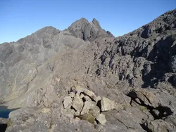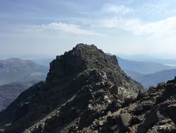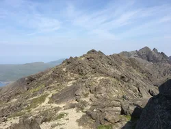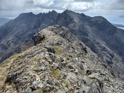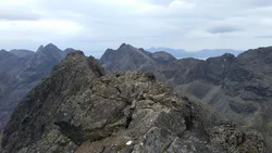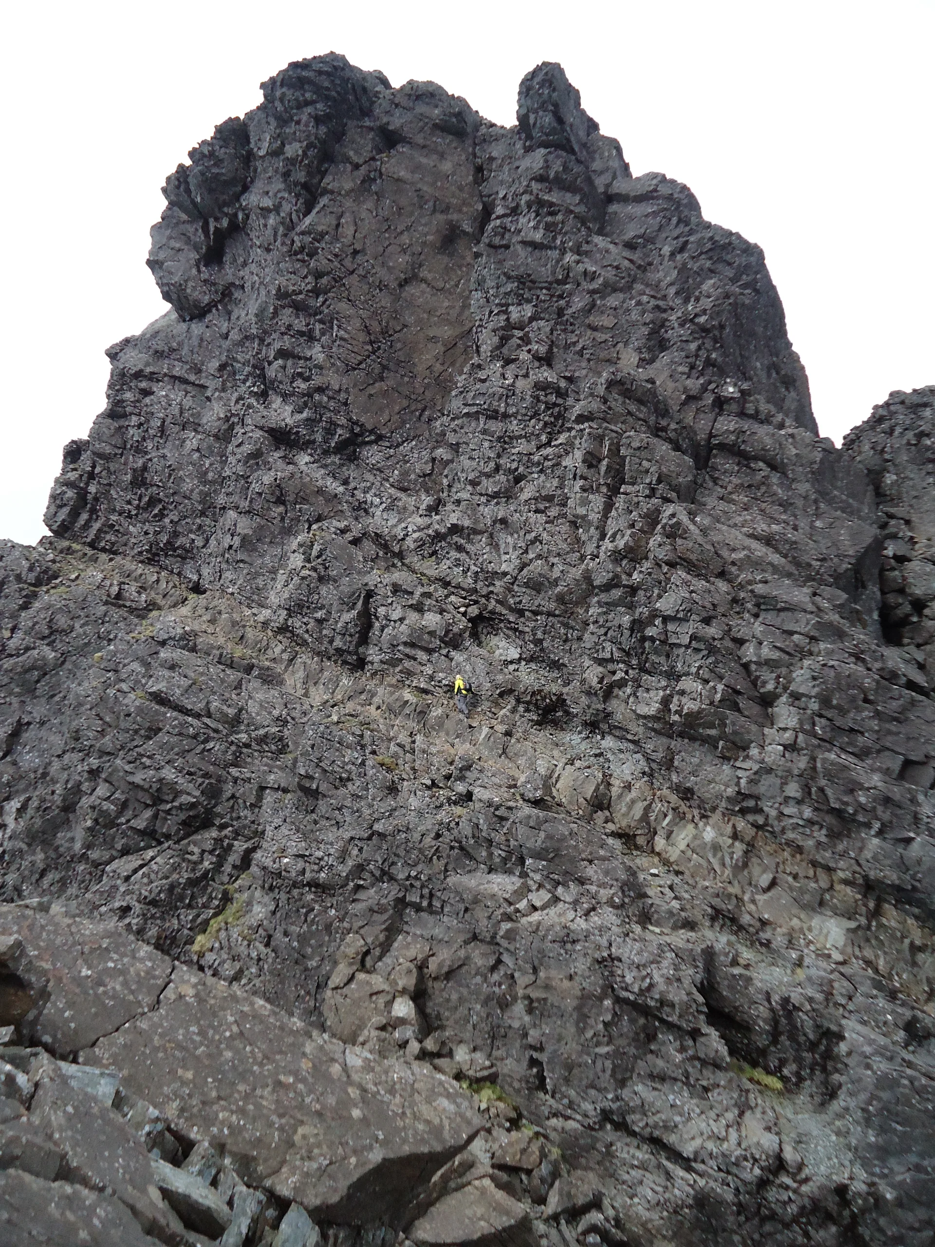

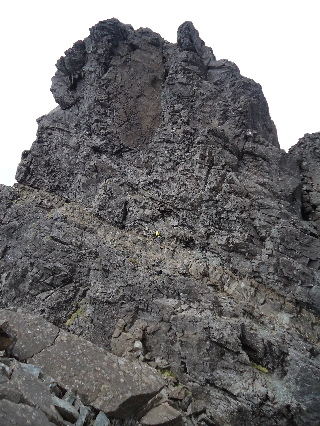


Sgùrr Mhic Chòinnich means 'MacKenzie's peak', after John MacKenzie, the Skye guide who was with Charles Pilkington's party on the first ascent in 1887. It sits on the Black Cuillin ridge above Coire Làgan, and the usual way up is an exposed scramble along the narrow north ridge from the bealach it shares with Sgùrr Dearg. To the south it ends in a sheer drop, passed by climbing King's Chimney or by the narrow, exposed Collie's Ledge on the west face.
New to the Munros?Read our guide: What Are The Munros?Rock 6 m from cairn
Bare, dark rock with almost no vegetation, steep cliffs on the south and scree below.
Simm
Summit Weather
Our Route
Also on this route: Sgurr Alasdair
Safety: Routes are a guide only. Carry a map and compass and know how to use them, check the weather before you go, and turn back if in doubt. You use this route at your own risk.