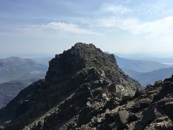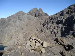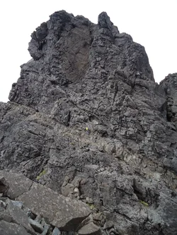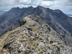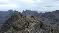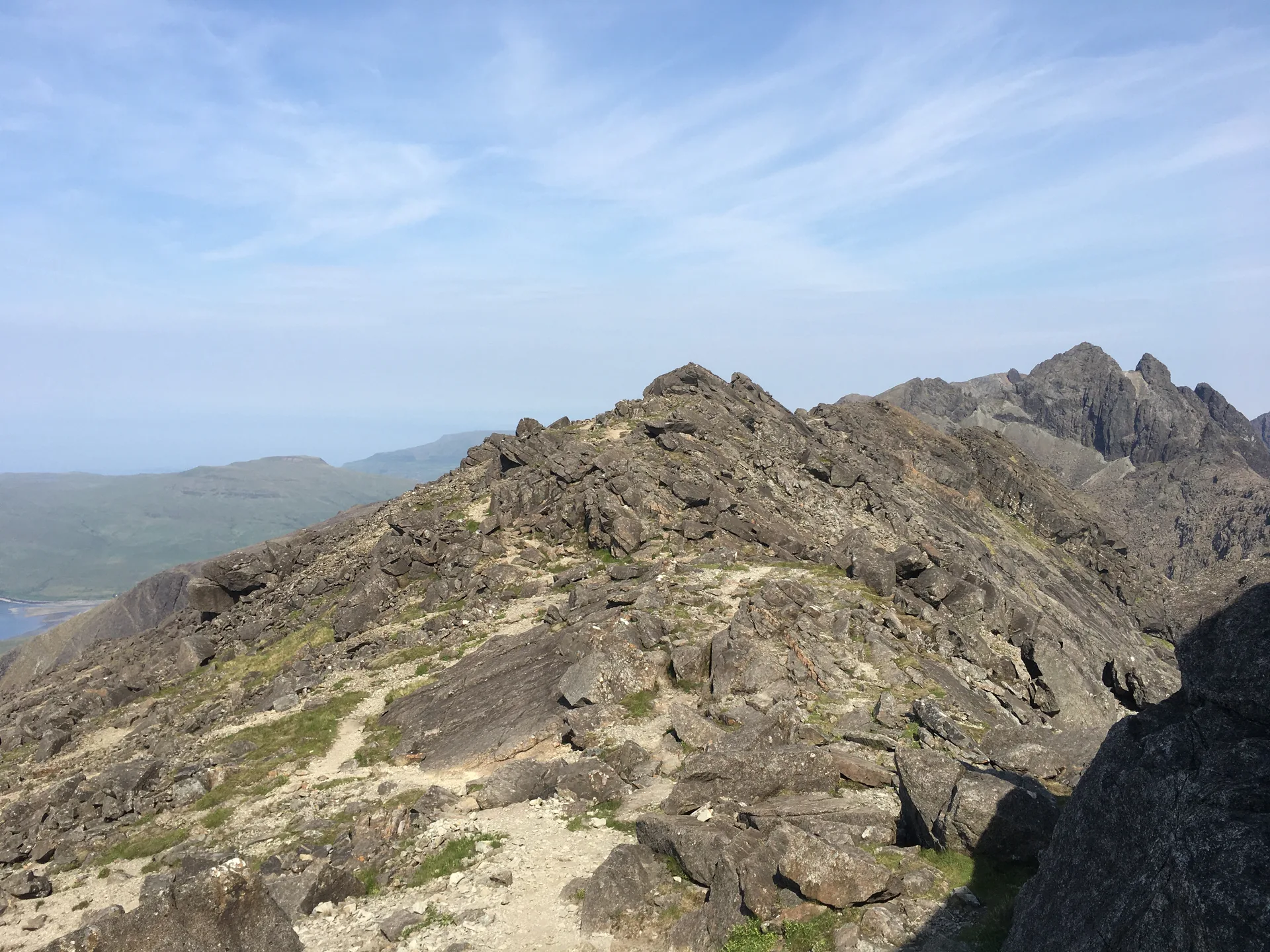


Sgùrr nan Eag, 'peak of the notches', is the most southerly Munro on Skye's Black Cuillin ridge. Its top is a long, level crest with a cairn, with Coir' a' Ghrunnda on its western side. Between it and Gars-bheinn sits Sgùrr a' Choire Bhig, a top of shattered quartzite.
New to the Munros?Read our guide: What Are The Munros?Cairn
Rough Cuillin rock, with a long level summit ridge and a big scree slope on the south shoulder.
HuMPSimm
Summit Weather
Our Route
No path for 2.2 kmAbout 2.2 km of this route has no path on the map (longest stretch 2.2 km). Expect rough, pathless ground. You will need a map and compass and the skills to use them.
Also on this route: Sgurr Dubh Mor
Safety: Routes are a guide only. Carry a map and compass and know how to use them, check the weather before you go, and turn back if in doubt. You use this route at your own risk.