

Hill data: The Database of British and Irish Hills v18.6 (CC BY 4.0)Height1,047 m3,435 ft
Grid RefNO 208 842
OS MapOL53 & 388OS Explorer
RegionLochnagar & Glen Clova
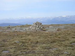
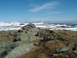
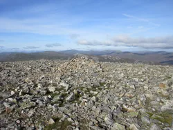
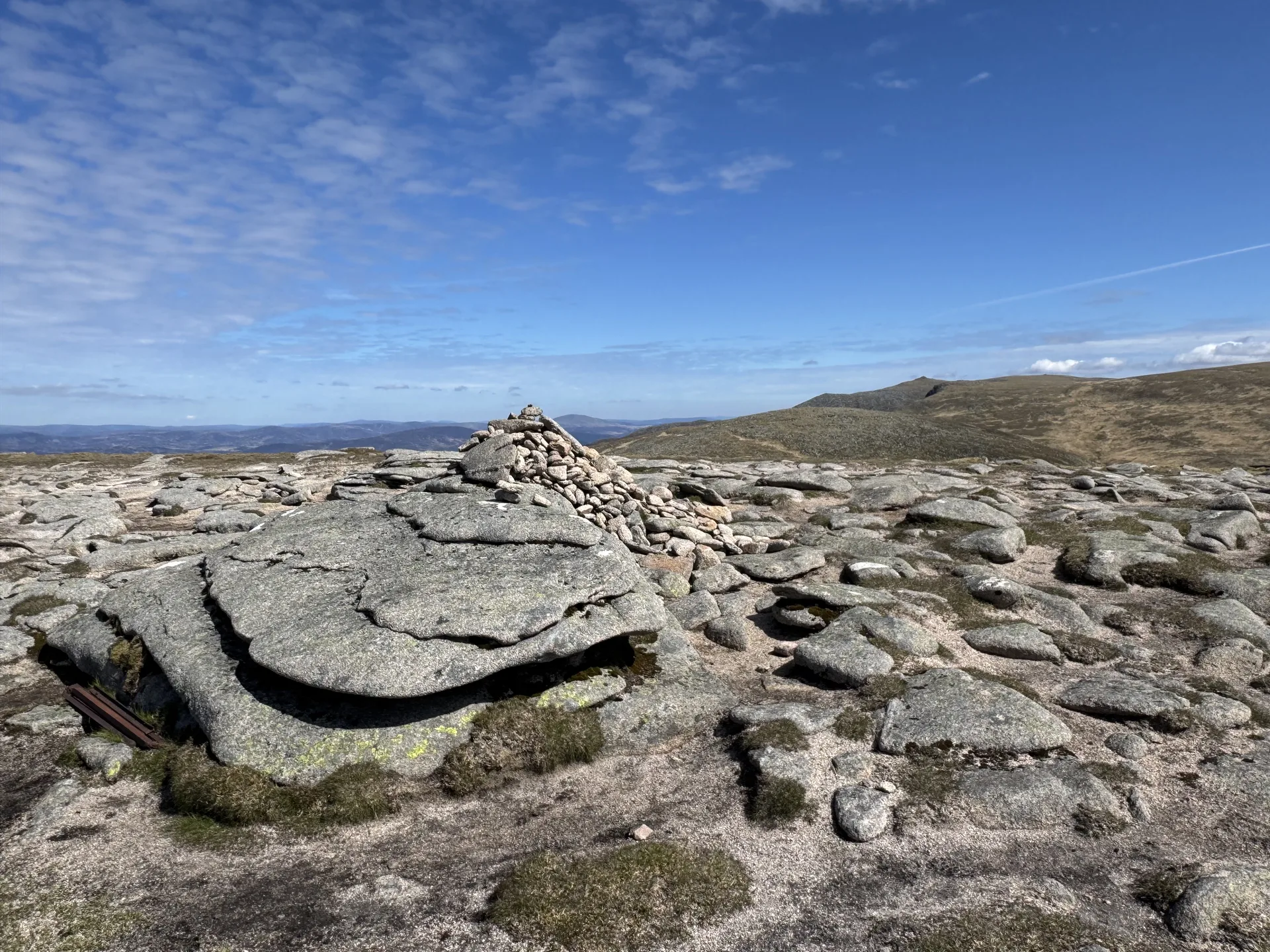
The name means 'big cairn of the priest', and the summit has a cairn with a large boulder beside it. This broad dome forms the high ground between Glen Callater and Glen Muick. In 1956 an RAF Canberra jet crashed into the hill, and pieces of the wreck still lie scattered across its slopes.
New to the Munros?Read our guide: What Are The Munros?Summit
Large boulder next to cairn
Rock & Ground
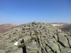
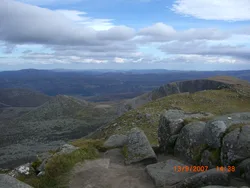
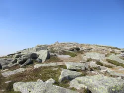
Broad, rounded dome mostly covered in heather and grass.
Also On These Lists
Simm
Summit Weather
Our Route
Distance19.1 mi30.7 km
Ascent1,070 m3,510 ft
Time9h 30mwalking
Start & FinishSpittal of Glen Muick Car ParkNO 3101 8516 · circular route
DirectionsAlso on this route: Lochnagar, Carn a' Choire Bhoidheach, Cairn Bannoch, Broad Cairn
Safety: Routes are a guide only. Carry a map and compass and know how to use them, check the weather before you go, and turn back if in doubt. You use this route at your own risk.