

Hill data: The Database of British and Irish Hills v18.6 (CC BY 4.0)Height987 m3,238 ft
Grid RefNN 002 875
OS Map399OS Explorer
RegionKnoydart & Loch Quoich
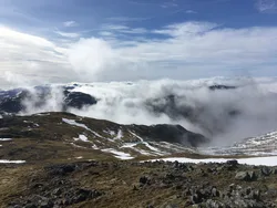
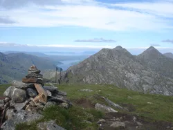
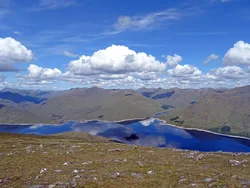
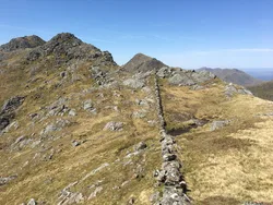
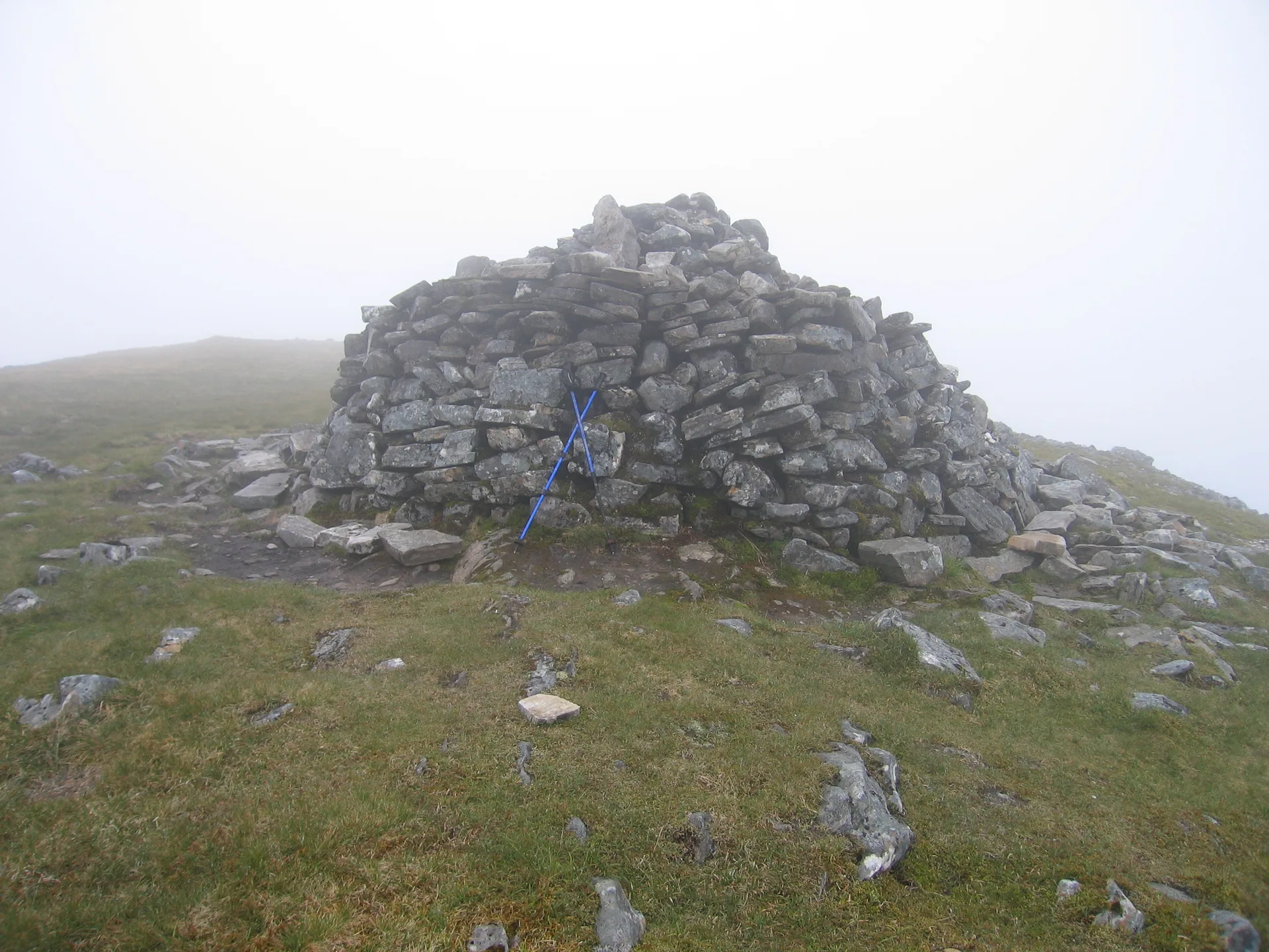
Gulvain stands on its own between Loch Arkaig and the road west of Fort William, a Y-shaped hill with two tops joined by a ridge. The northern top is the higher, with a large cairn. Its Gaelic name, Gaor Bheinn, has been linked to 'mountain of the hunting dogs', though another suggestion is 'windy mountain'. There are crags at both ends of the ridge and steep slopes on either side.
New to the Munros?Read our guide: What Are The Munros?Summit
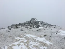
Large cairn
Rock & Ground
Hard, banded crystalline rock, with crags at each end of the ridge and steep flanks.
Also On These Lists
MarilynSimm
Summit Weather
Our Route
Distance15.5 mi24.9 km
Ascent1,130 m3,710 ft
Time8h 10mwalking
Start & FinishA car parkNM 9435 7952 · circular route
DirectionsSafety: Routes are a guide only. Carry a map and compass and know how to use them, check the weather before you go, and turn back if in doubt. You use this route at your own risk.