

Hill data: The Database of British and Irish Hills v18.6 (CC BY 4.0)Height928.6 m3,047 ft
Grid RefNO 240 737
OS MapOL53 & 388OS Explorer
RegionLochnagar & Glen Clova
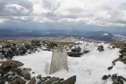
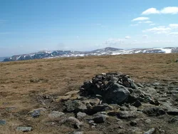
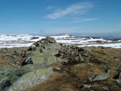
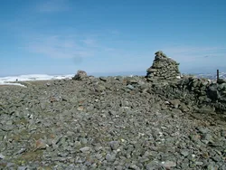
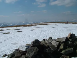
Mayar is a low bump with a cairn on the southern part of the high Mounth plateau, and it's usually climbed together with its neighbour Driesh. The favourite way up passes through Corrie Fee, a glacial hollow with a waterfall at its back and eskers, ridges of glacial debris about 3 m high, running across its floor. Above the corrie stand the Erne Craigs, named from the Scots word for an eagle.
New to the Munros?Read our guide: What Are The Munros?Summit
Cairn
Rock & Ground
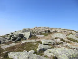
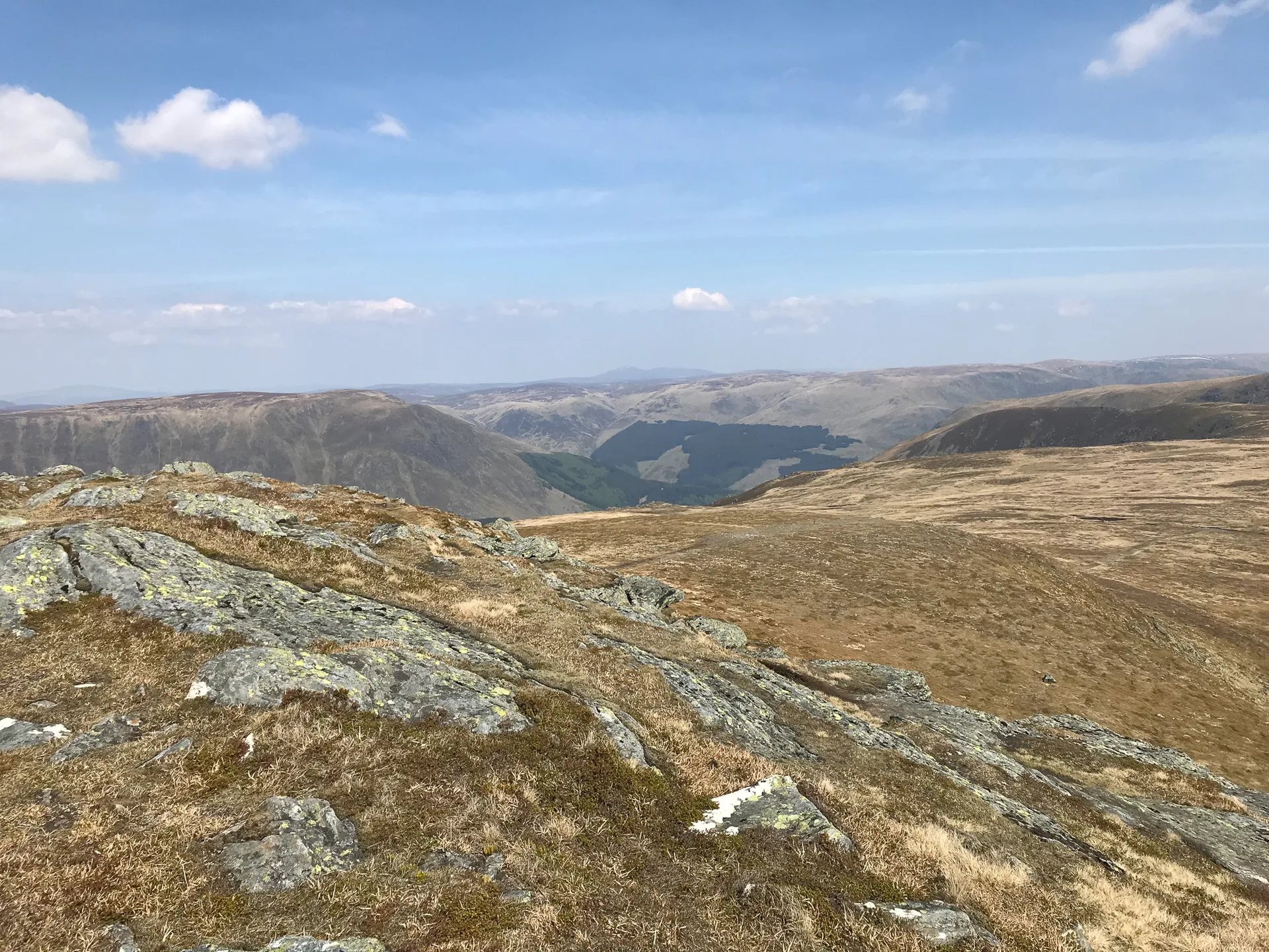
Open plateau top above Corrie Fee, whose boggy floor is crossed by glacial eskers.
Also On These Lists
HuMPSimm
Summit Weather
Our Route
Distance9.1 mi14.6 km
Ascent760 m2,490 ft
Time4h 55mwalking
Start & FinishGlen Doll car parkNO 2839 7607 · circular route
DirectionsAlso on this route: Driesh
Safety: Routes are a guide only. Carry a map and compass and know how to use them, check the weather before you go, and turn back if in doubt. You use this route at your own risk.