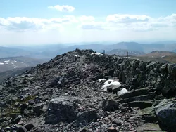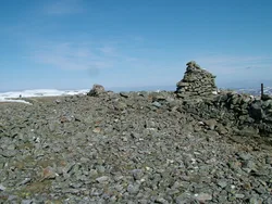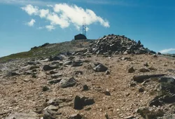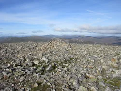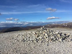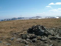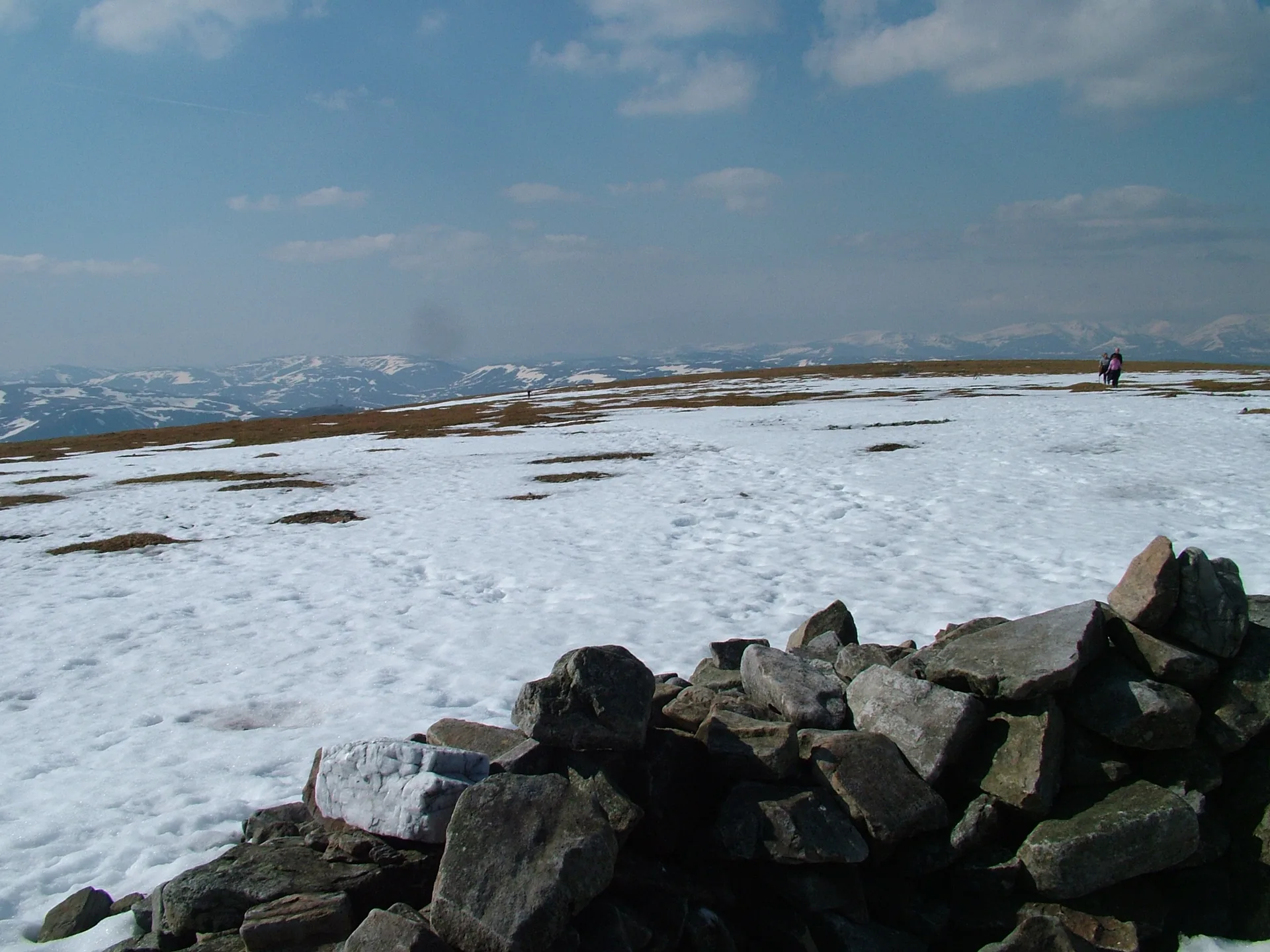


Glas Maol, the 'grey-green hill', has a broad, flat top where Aberdeenshire, Angus and Perth and Kinross meet. The highest point lies wholly in Angus, making this the highest point in that council area. A dry-stone dyke follows the ridge, roughly along the Angus boundary, and the western slopes are part of the Glenshee ski area, so most people start high at the Cairnwell pass.
New to the Munros?Read our guide: What Are The Munros?Trig point
Broad, flat summit plateau, with ski slopes on the west and a stone dyke along the ridge.
MarilynSimmCounty Top
Summit Weather
Our Route
Also on this route: Cairn of Claise, Carn an Tuirc, Creag Leacach, Tom Buidhe, Tolmount
Safety: Routes are a guide only. Carry a map and compass and know how to use them, check the weather before you go, and turn back if in doubt. You use this route at your own risk.