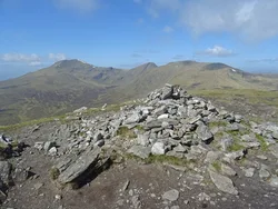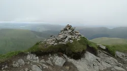


Hill data: The Database of British and Irish Hills v18.6 (CC BY 4.0)Height1,083.3 m3,554 ft
Grid RefNN 713 547
OS MapOL49 & 386OS Explorer
RegionLoch Tay to Rannoch
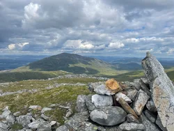
Schiehallion stands on its own, and from the west it looks like an almost perfect cone. In 1774 Nevil Maskelyne used it to measure the density of the Earth, and his assistant Charles Hutton came up with contour lines while working through the survey results. Its name is from the Gaelic Sìth Chailleann, roughly 'fairy hill of the Caledonians'.
New to the Munros?Read our guide: What Are The Munros?Summit
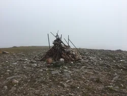
Rock 20 m north-west of cairn
Rock & Ground
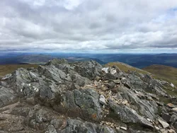
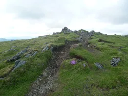
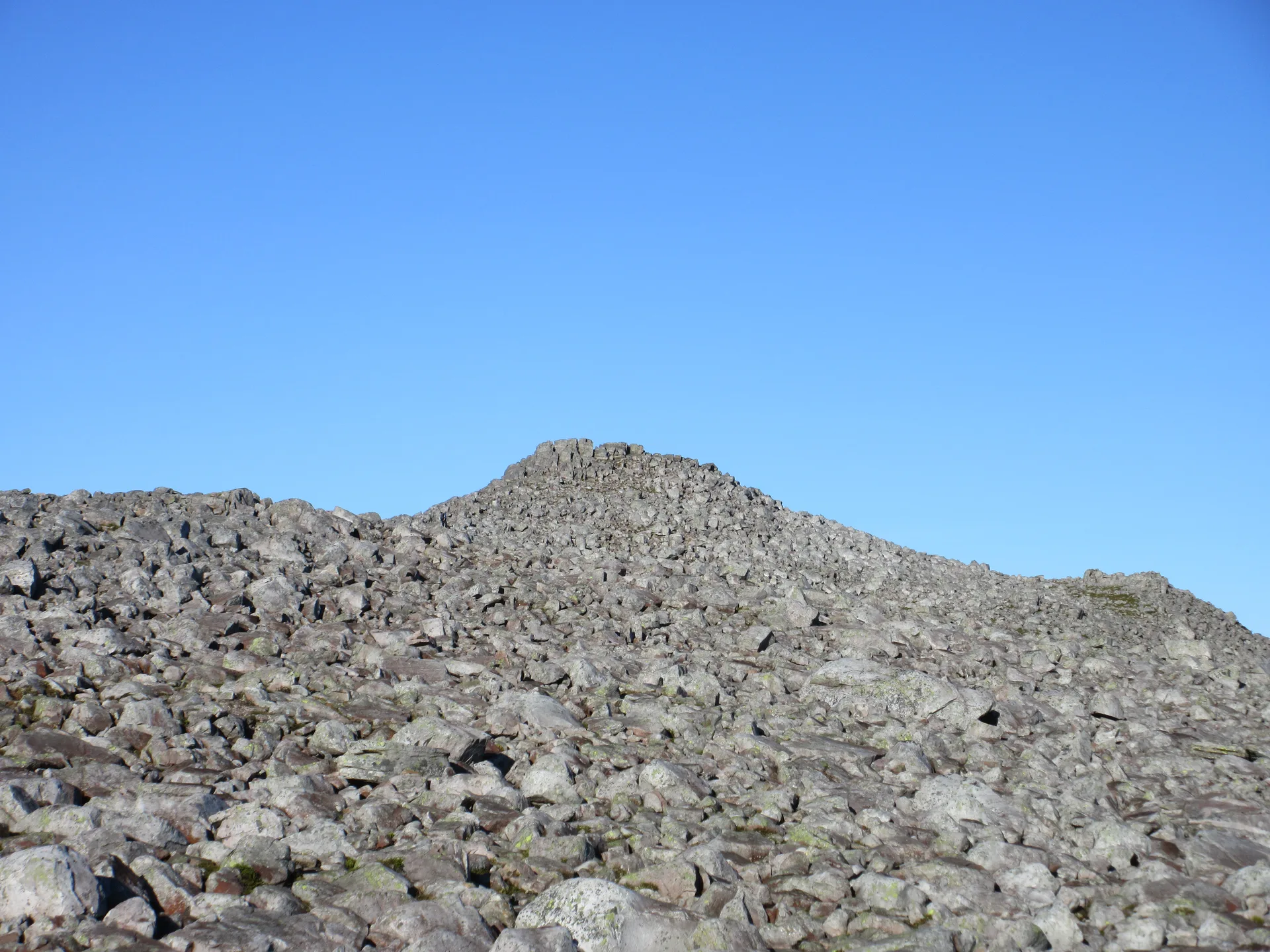
Mostly quartzite, with a long, rocky summit ridge; the John Muir Trust rebuilt the main path after buying the estate in 1999.
Also On These Lists
MarilynSimm
Summit Weather
Our Route
Distance6.4 mi10.3 km
Ascent690 m2,260 ft
Time3h 45mwalking
Start & FinishBraes of Foss Car ParkNN 7532 5568 · circular route
DirectionsSafety: Routes are a guide only. Carry a map and compass and know how to use them, check the weather before you go, and turn back if in doubt. You use this route at your own risk.