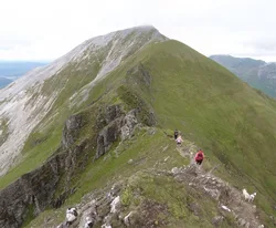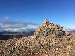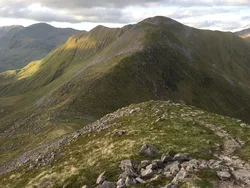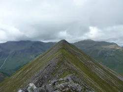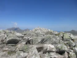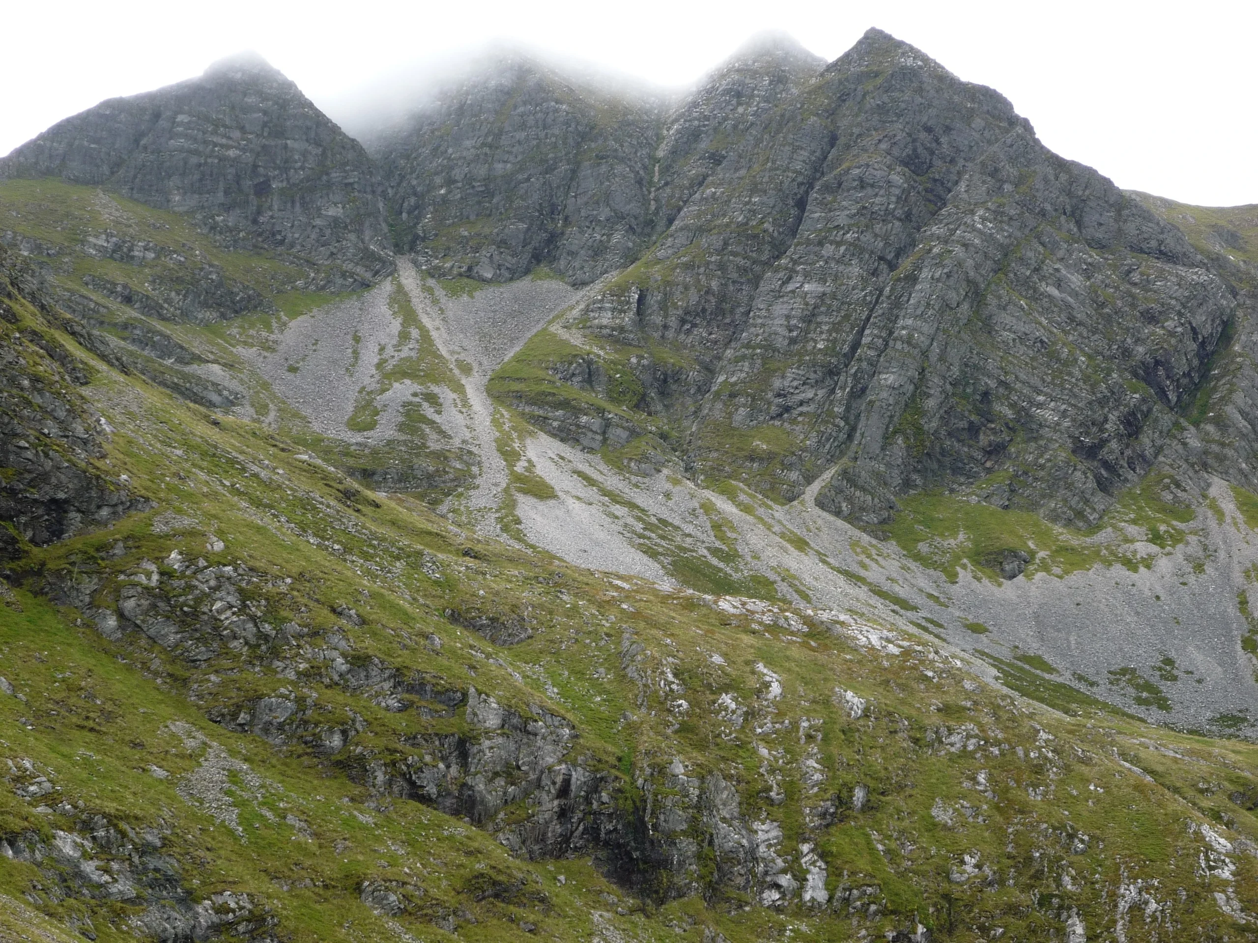

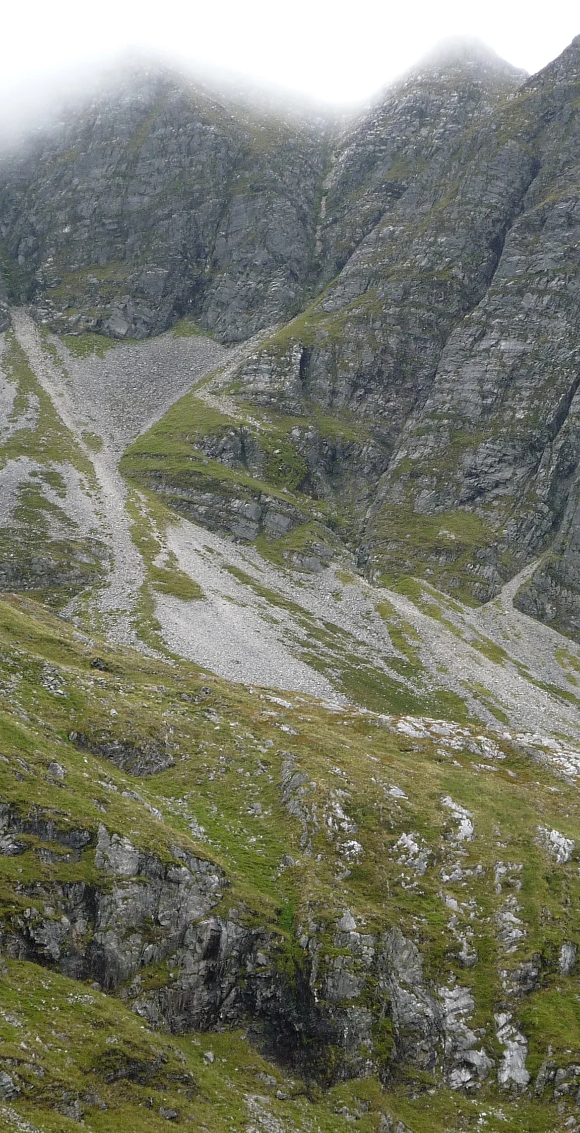


Stob Bàn, the 'white peak', gets its name from the pale quartzite capping its summit, which is often mistaken for snow. It sits towards the west end of the Mamores, and crags on its north-east face drop more than 400 m into Coire a' Mhusgain, giving it a pyramid shape. A large cairn marks the top, and Ben Nevis and the Aonachs fill the view to the north. Watch for the false top on the north ridge.
New to the Munros?Read our guide: What Are The Munros?Large cairn
Dalradian rocks capped with white quartzite, with terraced crags on the steep north ridge.
MarilynSimm
Summit Weather
Our Route
Also on this route: Sgurr a' Mhaim, Am Bodach, Mullach nan Coirean
Safety: Routes are a guide only. Carry a map and compass and know how to use them, check the weather before you go, and turn back if in doubt. You use this route at your own risk.