



Contents
Overview
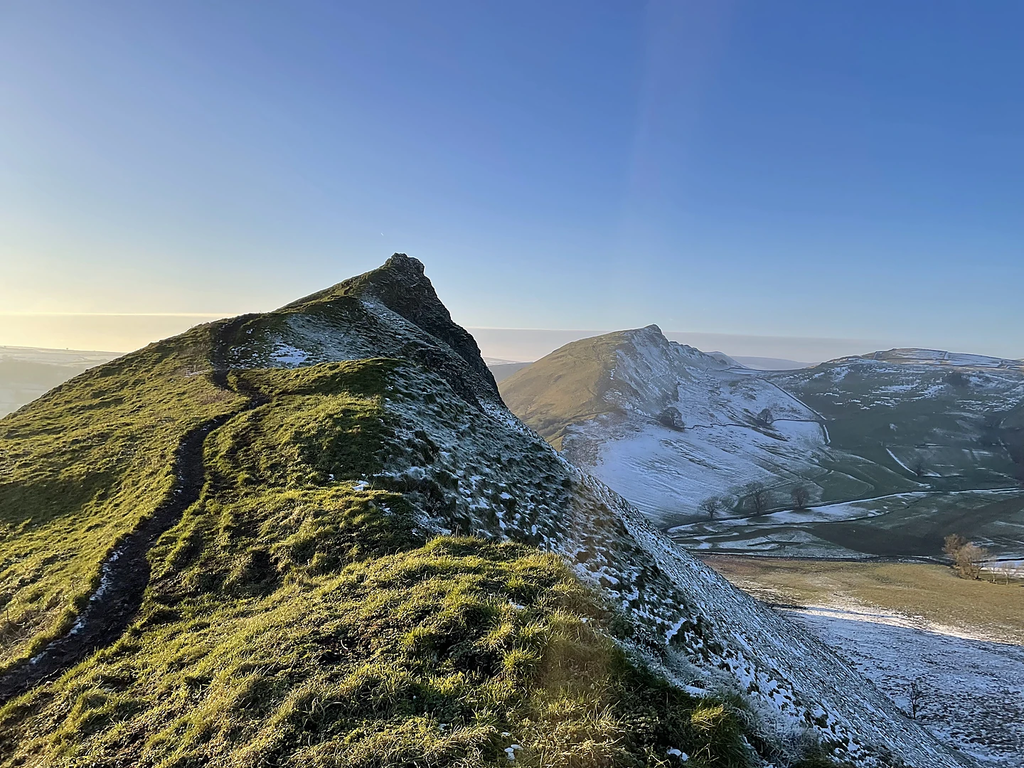
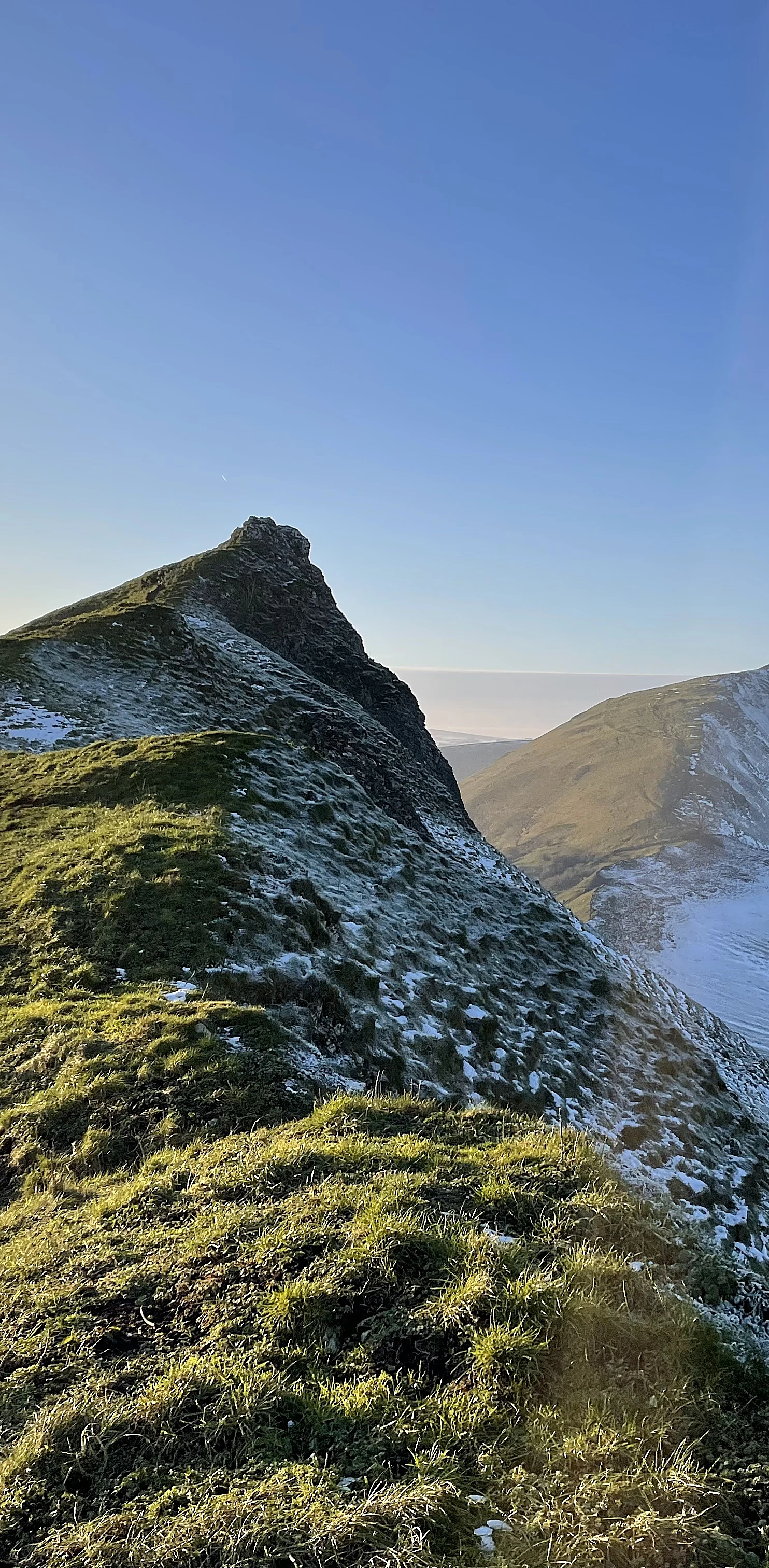
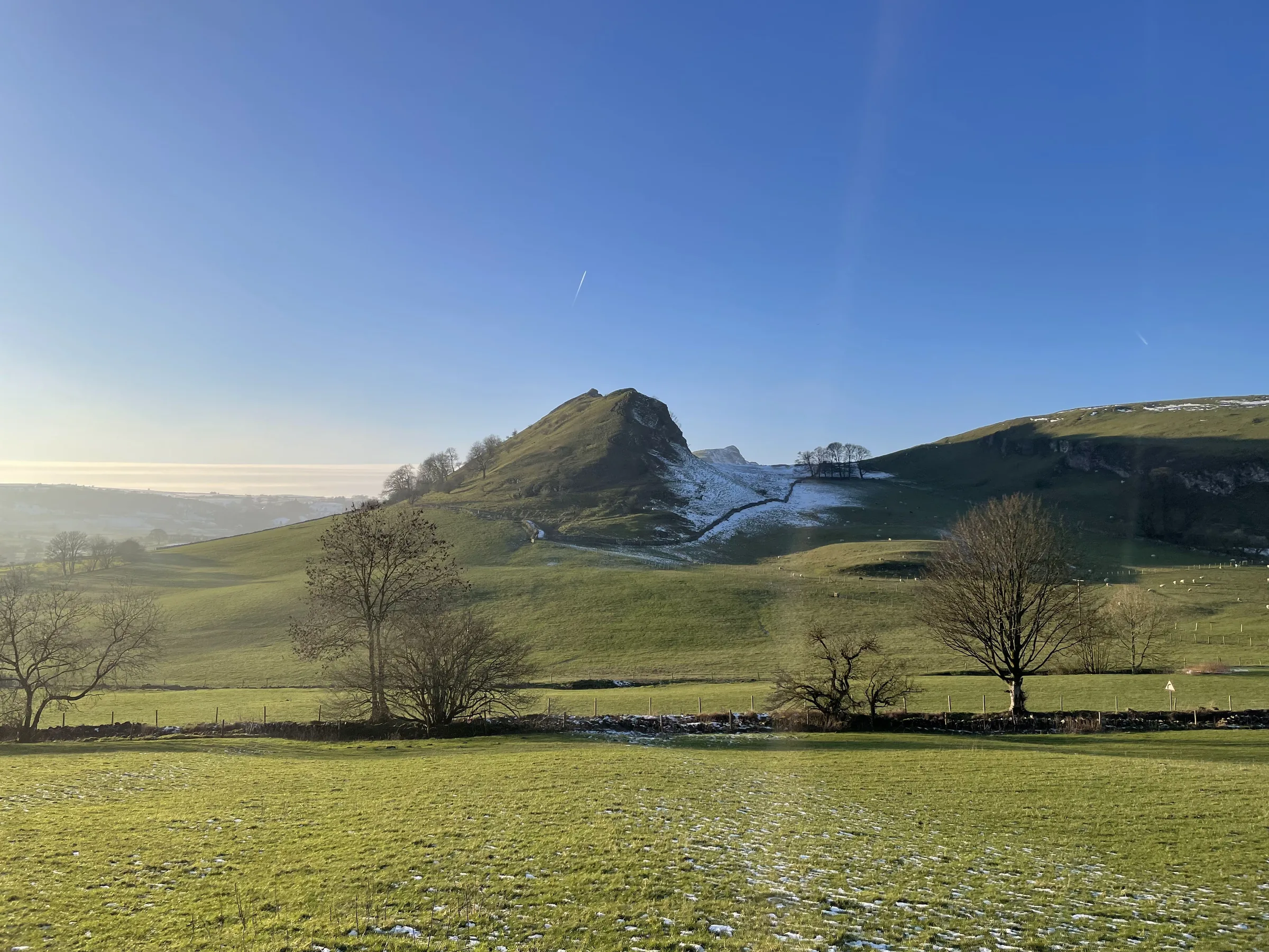
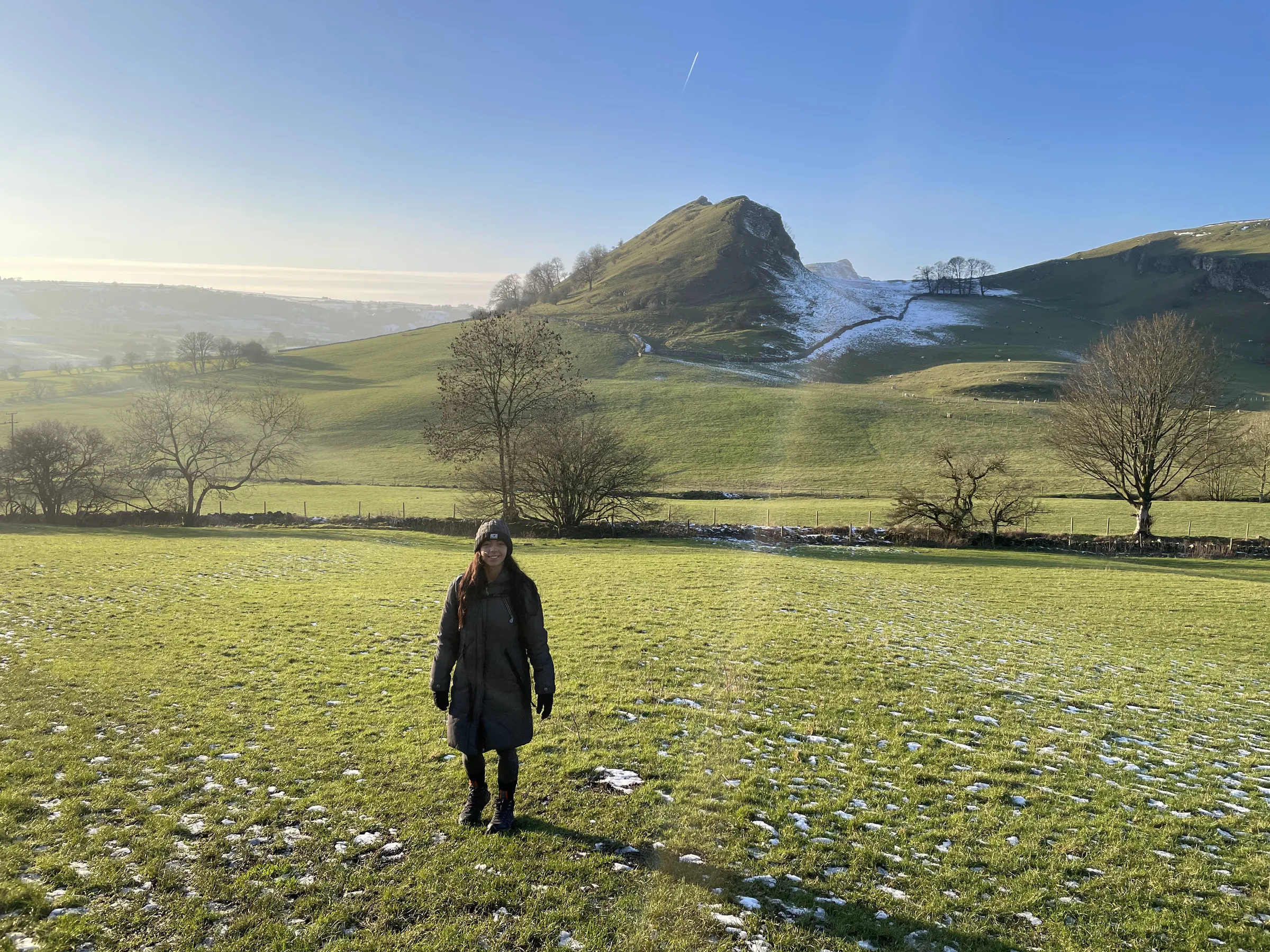
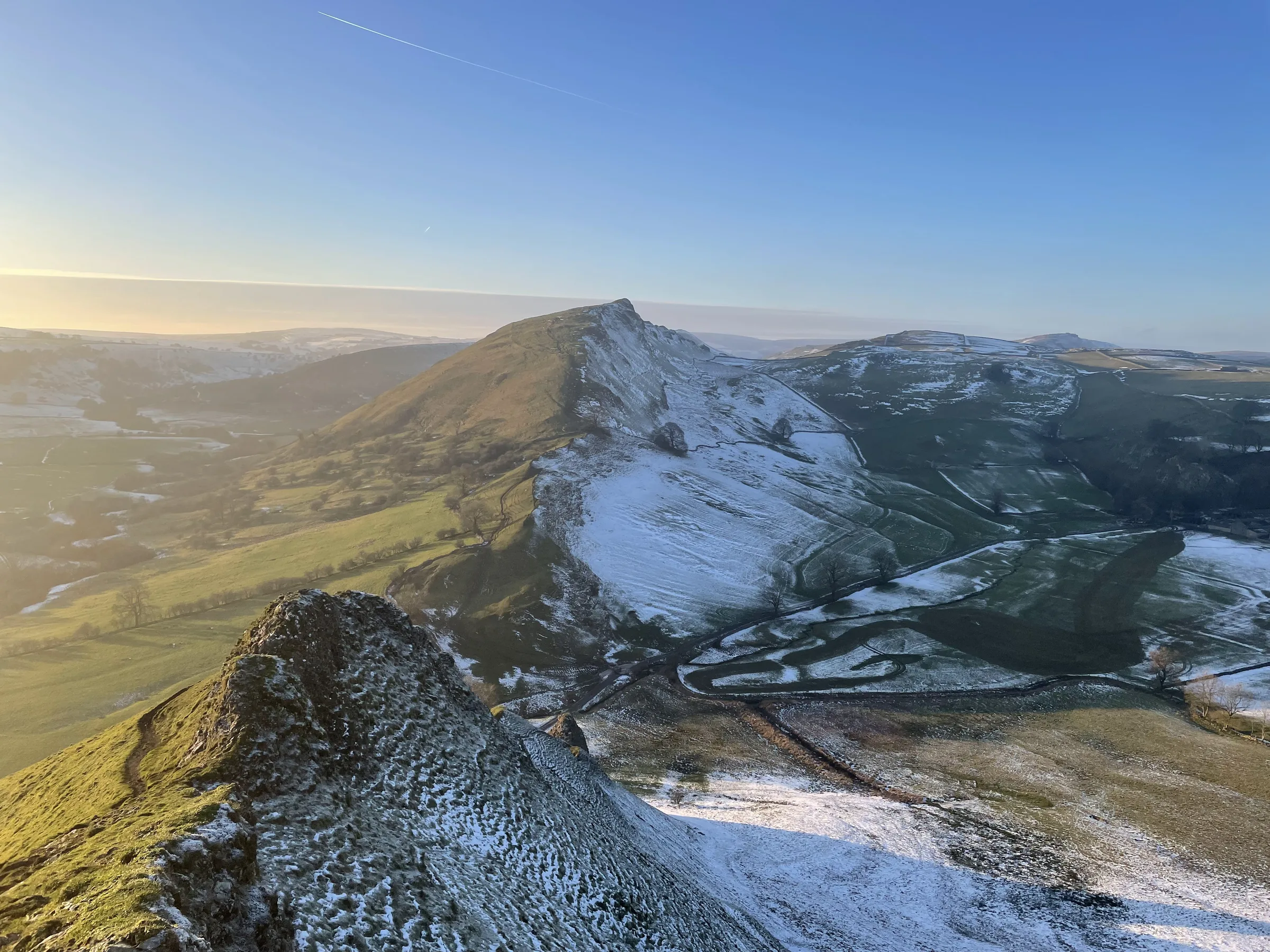
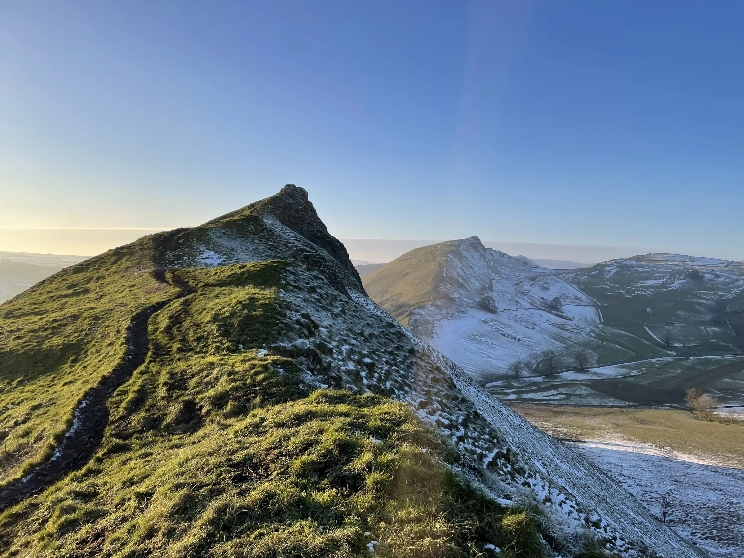
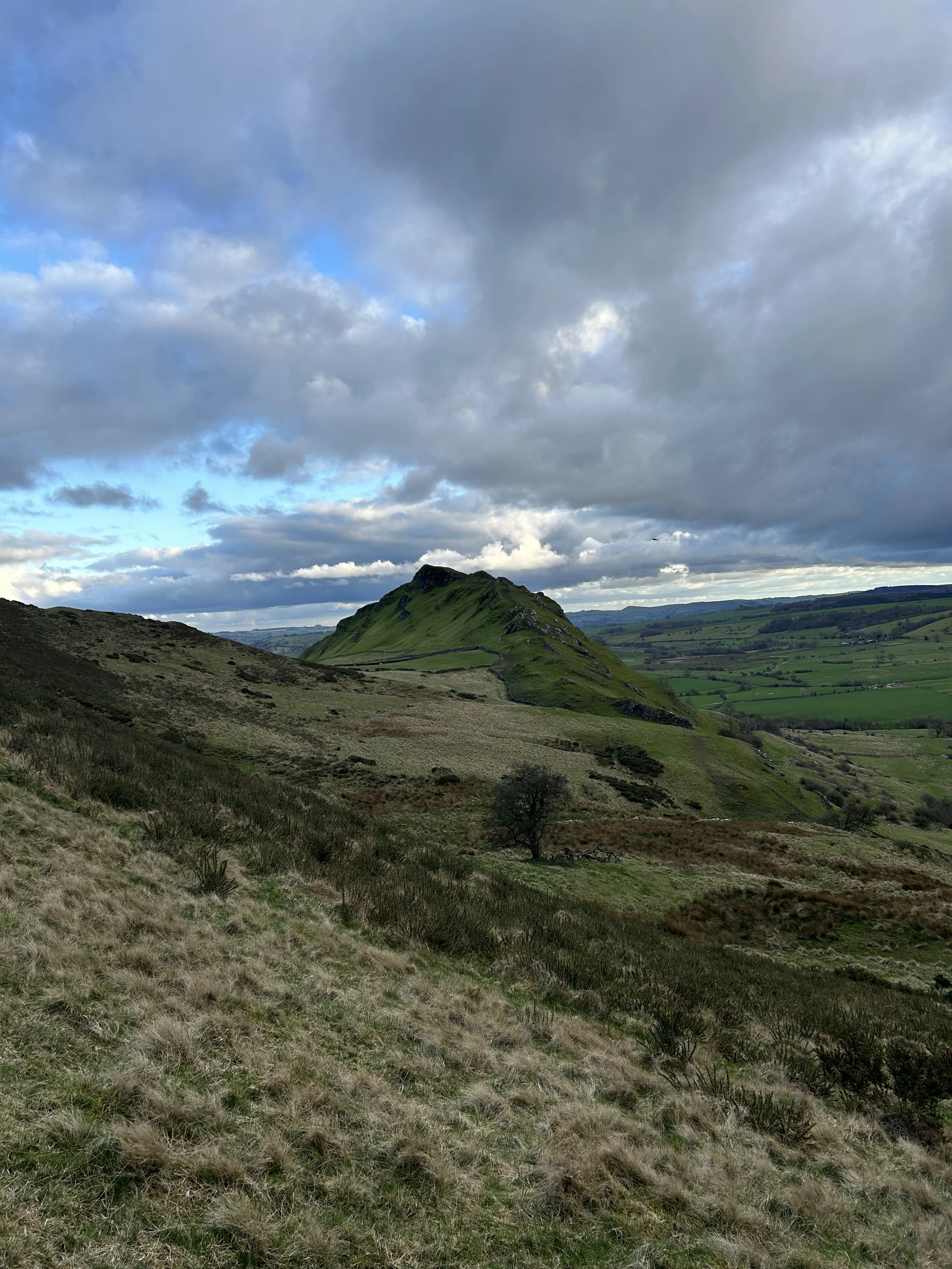
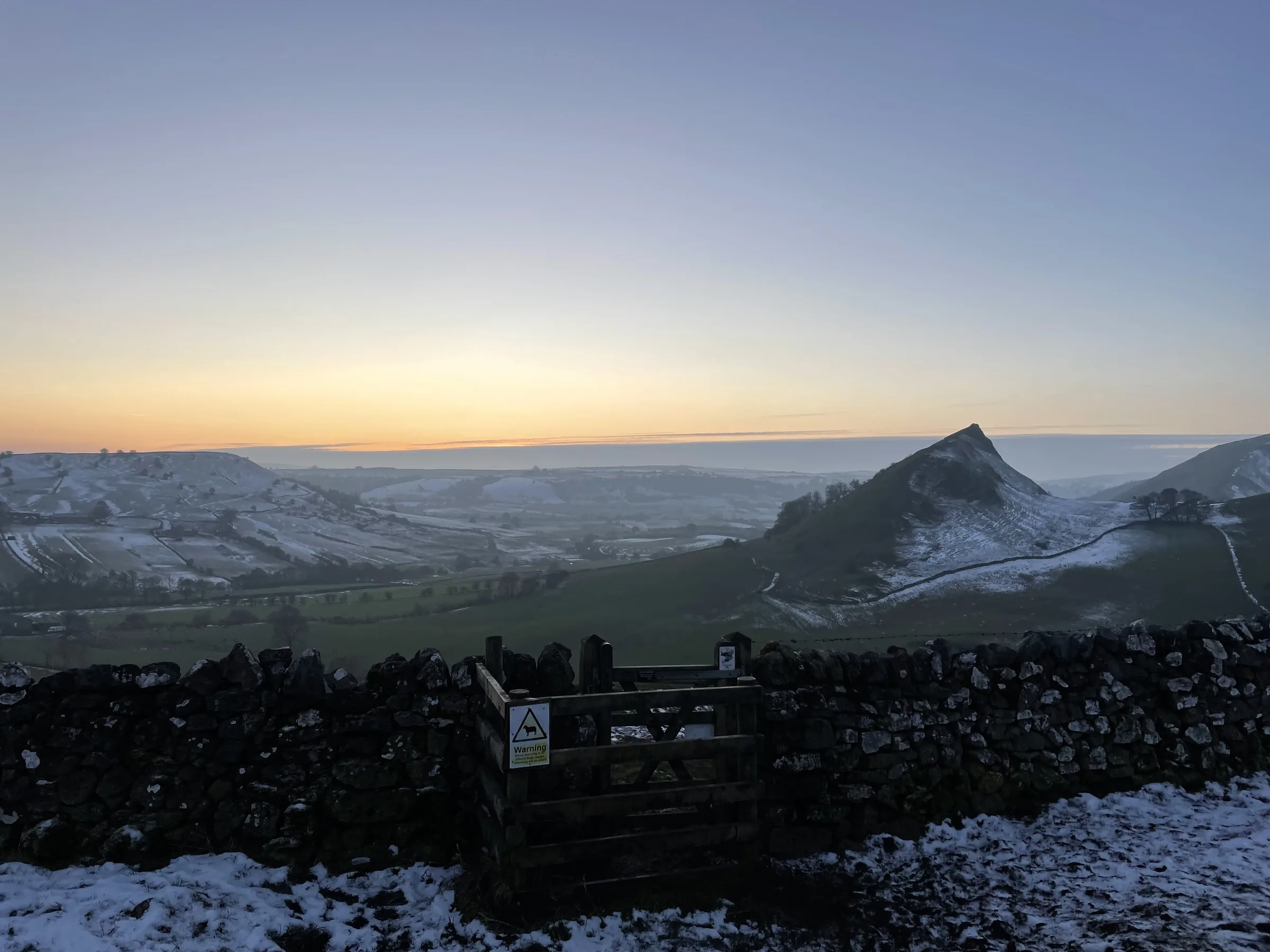
Seen from the upper Dove valley, Parkhouse Hill and Chrome Hill look nothing like the rounded hills around them. Their sharp, broken crests have been compared to the plates on a stegosaurus, and the walk along them is known as the Dragon's Back. Both are reef knolls, the remains of reefs that grew in a tropical sea in the Carboniferous period, when this part of England lay under water. They are small hills, but the climbs are short and very steep, and the narrow tops make you feel much higher than you are.
The loop starts on the village green in Earl Sterndale. Field paths lead down to the B5053 near Glutton, and from there you climb straight up the steep nose of Parkhouse Hill, follow its narrow crest and drop very steeply off its western end to a minor road. A path beside a wall then takes you up Chrome Hill's ridge to the top. Beyond the summit the ridge falls away to the north-west, and a concession path climbs beside a fence onto high pasture. You head west across the fields, pass below Hollins Hill without climbing it, and follow tracks and a bridleway down to cross the young River Dove into Hollinsclough. The way back runs east along the valley floor below both hills, crosses the B5053 again and goes over the shoulder of Hitter Hill into Earl Sterndale. This walk takes in two of the Peak District's Ethels: Parkhouse Hill and Chrome Hill. Find all 95 on our Ethels map.
Go prepared, stay safe,
and enjoy the hike!
Key Info
Crowds
Moderate
Chrome Hill and Parkhouse Hill sit in a quiet corner of the Peak District, and the walk passes the quiet hamlet of Hollinsclough. The main pinch point is parking, as there are no official car parks and the lanes are very narrow. Like most popular Peak District walks, it is usually quieter on weekdays and early or late in the day.
When it gets busy
- Weekends and other busy times, when the few roadside spaces in Earl Sterndale can fill
- Like most popular Peak District walks, sunny weekends and bank holidays are usually the busiest
For a quieter walk
- Arrive early to get one of the few roadside spaces by the village green
- Go on a weekday if you can
- Like most popular Peak District walks, it is usually quieter in the evening
- If there is no space, don't park on the narrow lanes or across gateways; try another day
- Like most hill walks, grey or showery days are usually quieter than bright, clear ones
Our crowd rating is for a typical sunny weekend in spring or summer, in the middle of the day. Timing makes a big difference, so even a busy walk can be quiet early, late or midweek.
The Route
Disclaimer: Route information and GPX files are provided for general guidance only. Conditions can change, so always use your own judgement and navigate responsibly. See our Terms of Use & Disclaimer for more information.
Route Guide
- 1
Down to the B50530.5 mi · 5m up · 60m downFrom the village green, take the field path heading west. It drops gently through the fields, with Parkhouse Hill ahead, to the B5053 near Glutton. Cross the road with care to the gate opposite.
- 2
Over Parkhouse Hill0.5 mi · 65m up · 65m downCross the field to the eastern end of Parkhouse Hill and climb its steep nose, where the faint path zigzags up. Follow the narrow, rocky crest west to the summit. The way off the western end is extremely steep, so take it slowly down to the minor road at the foot.
- 3
Up Chrome Hill0.5 mi · 145m up · 15m downCross the road to the stile by the wall and follow the path beside it uphill. It crosses limestone hummocks and goes through a gate below a tree, then climbs the ridge to the top of Chrome Hill, about 145m above the road.
- 4
Off the ridge and onto the pasture1.0 mi · 70m up · 80m downCarry on north-west along the ridge as it drops, then go steeply down to a wall-side path. Follow the signs for the concession path, climb beside the fence onto the high pasture and follow the wall west across the fields to a cattle grid and farm road.
- 5
Down to Hollinsclough1.2 mi · 25m up · 120m downTake the footpath across the fields, then follow a track and bridleway south down the hillside. Hollins Hill rises on your left, but the route stays below it. At the bottom, cross the infant River Dove and walk up into Hollinsclough, past the little Methodist chapel.
- 6
Along the valley floor1.3 mi · 15m up · 50m downLeave the village east along Carr Lane, then follow the field path along the valley below Chrome Hill and Parkhouse Hill. Join a track and a quiet lane beneath Parkhouse Hill, then cross the grass to the B5053.
- 7
Over Hitter Hill0.5 mi · 85m up · 25m downCross the B5053 and retrace your outward path for a short way, then leave it to climb steeply, about 90m, over the shoulder of Hitter Hill. Drop down the far side into Earl Sterndale and back to the green.
Use the route on OS Maps, AllTrails or Komoot to navigate on the day; this guide is for planning.
Parking
There's no car park in Earl Sterndale. Walkers park free on the road by the small village green, between the Quiet Woman pub and the church. There are only a few spaces and it's a small, quiet village, so it fills at busy times: park considerately, never across gateways or driveways, and respect the people who live here. If it's full, you can start from Hollinsclough instead and pick up the walk at about the 3.7 mile mark (see Alternative Parking). There are no toilets in the village.
Alternative Parking
Facilities & Hospitality
Right on the route at about mile 3.7, the hall of the Methodist chapel in Hollinsclough opens as a tea room at weekends and on bank holidays, serving food and drink.
A dog-friendly pub in the Upper Dove valley, a few minutes' drive from Earl Sterndale, serving lunches and evening meals. It's closed on Mondays and Tuesdays, except bank holiday Mondays.
The nearest public toilets, run by the Peak District National Park Authority at the Parsley Hay car park on the A515, about 10 minutes' drive away. Baby changing is available.
Weather
Hike Videos
Note: Videos are made by other walkers, not The Lost Peak. They may not follow this exact route, and paths, conditions and facilities may have changed since filming.
Photo Gallery
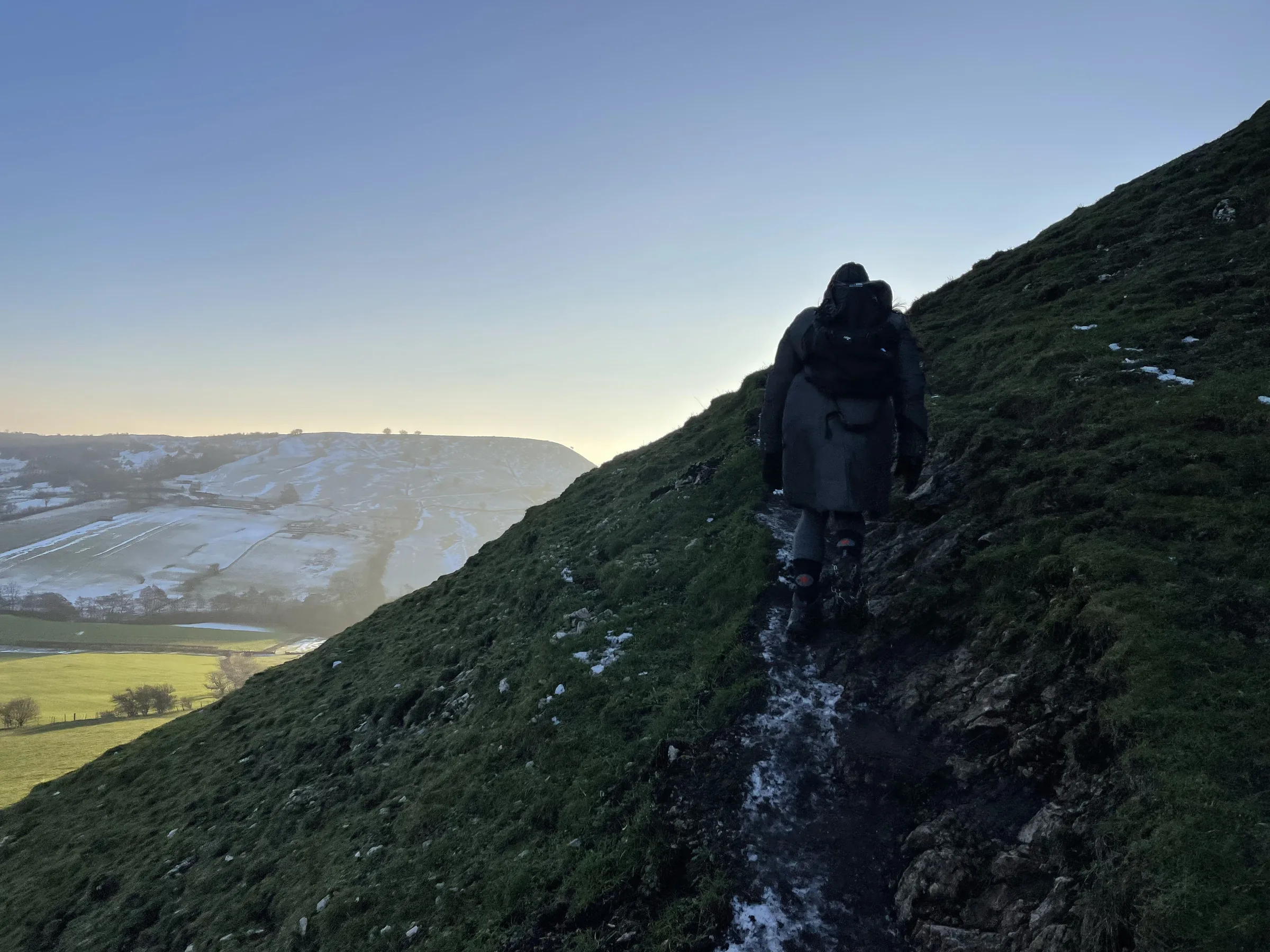
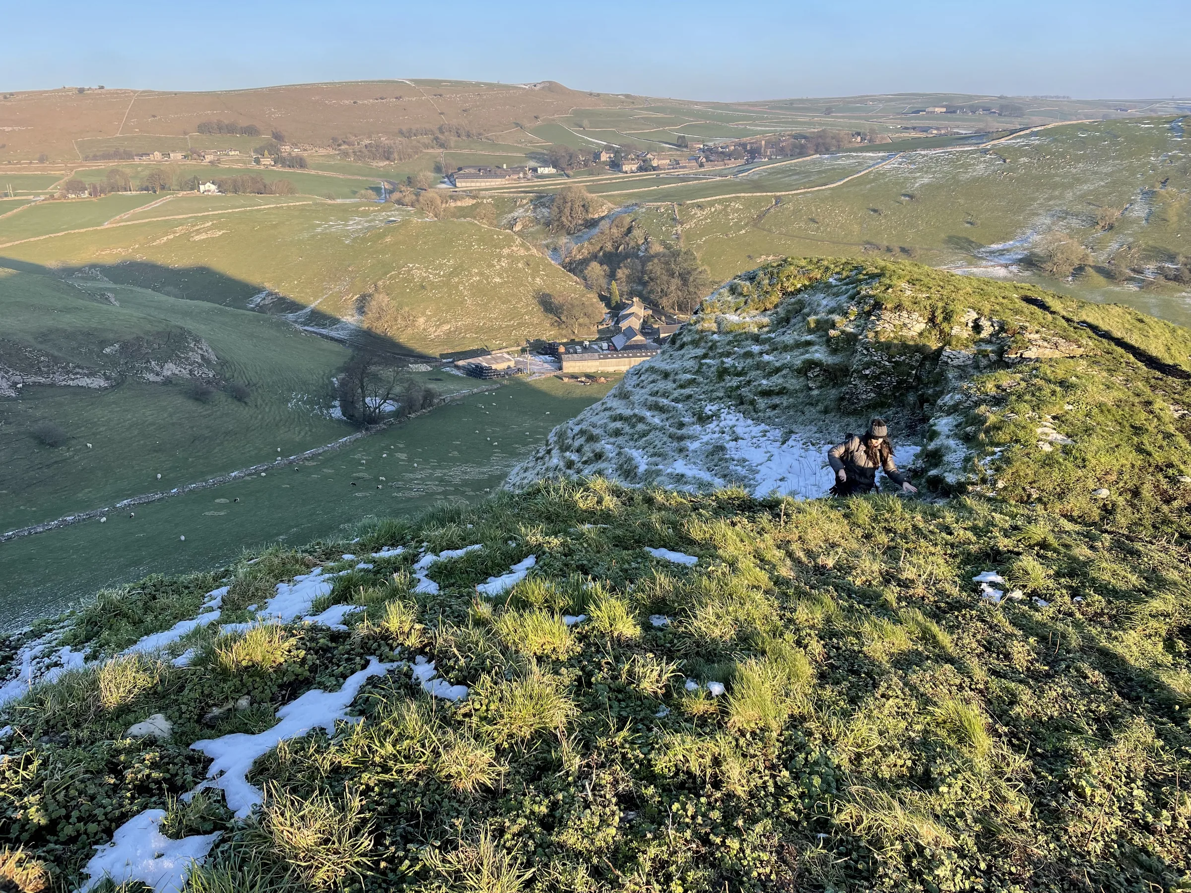
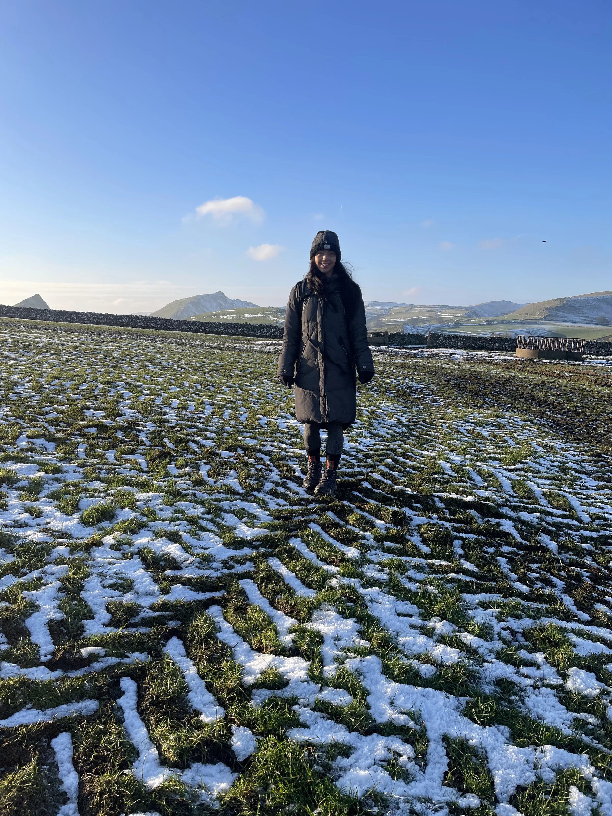
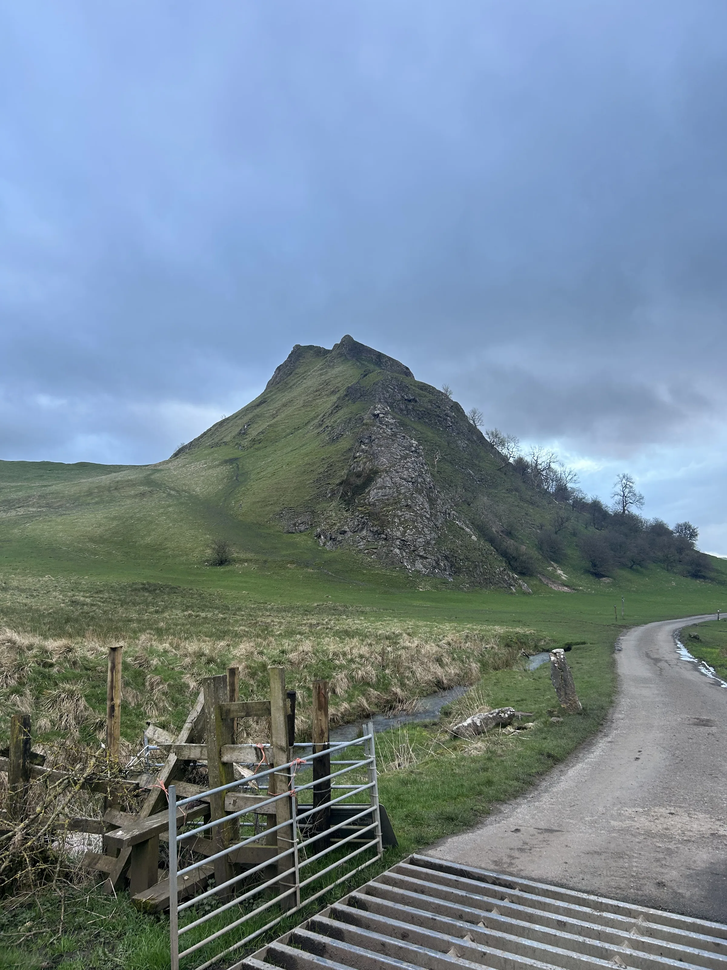
Hints & Tips
The Parkhouse Descent
The drop off the western end of Parkhouse Hill is the hardest part of the day: steep, narrow and tricky in the wet. If you don't fancy it, look for a faint path on your right near the end of the ridge. It doubles back on itself, so it feels like the wrong way, but it takes a gentler line down the grassy slopes to the same road.
Wait for a Dry Day
Both ridges are bare limestone, which turns very slippery when it's wet. The steep descents off Parkhouse Hill and Chrome Hill are much safer after a spell of dry weather, so if it has been raining, save this one for another day.
Keep to the Concession Path
Chrome Hill is open access land, but the only way on or off it to the north-west is a concessionary path, signed on the ground. Follow the signs and keep to it where it runs beside the fence and wall, as it is the only permitted way on that side of the hill.
Catch the Double Sunset
For a short time around the summer solstice, in good weather, the sun can set twice. It sinks just to the south-west of Chrome Hill's summit, re-emerges from its steep north-eastern slope, then sets again at the foot of the hill. Watch from the southern flank of Parkhouse Hill, or more easily from Glutton Bridge.
Interesting Facts
General
Ancient Reefs
Parkhouse Hill and Chrome Hill are both reef knolls, the remains of reefs that grew in a tropical sea that covered the Peak District in the Carboniferous period
Fossil Hill
Chrome Hill has good exposures of Gigantoproductus fossils, and both hills are protected together as a Site of Special Scientific Interest
The Quiet Woman
The sign of the Quiet Woman pub in Earl Sterndale shows a woman without her head, said to be Chattering Charteris, whose publican husband, so the legend goes, cut it off because she nagged him
Freedom to Roam
For many years there was no right of way to the top of Parkhouse Hill, and walkers can only climb it freely because it became open access land under the Countryside and Rights of Way Act 2000
The Pedlar's Chapel
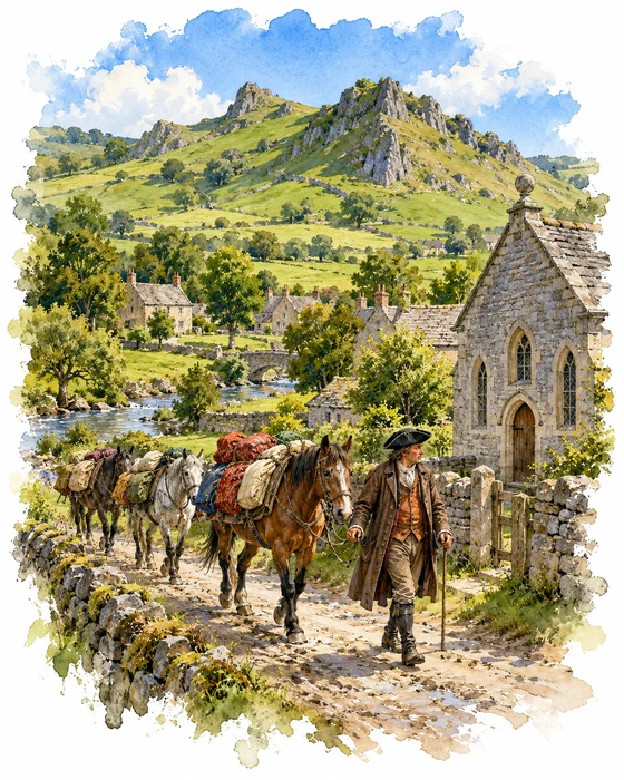
Hollinsclough sits on the upper Dove, right on the border between Staffordshire and Derbyshire, and its name is thought to mean Howel's ravine. In the 18th century the village had a silk weaving business, and the silk was carried by packhorse over the hills to the mills at Macclesfield. In 1851 about 400 people lived in the township; today the village has around 150.
One of its best-known people was John Lomas, the son of a pedlar called George Lomas. John began as a hawker in 1764 and went on to become a wholesale dealer, trading in goods such as clothing and carrying local silk to Macclesfield. He became a Methodist in 1783 and moved into the village in 1785. That same year he went before the House of Commons to argue against a plan to abolish licensed hawkers and pedlars, and he won.
Lomas built a chapel in Hollinsclough that was registered in 1797, with himself as minister, and rebuilt it in 1801. The little stone chapel you pass on this walk still has "BETHEL / J.L. / 1801" painted over its door. It is a Grade II listed building. It has outlasted all the other chapels of the old Wetton and Longnor Methodist Circuit, it celebrated its 200th birthday at Easter 2001, and its hall has been run as a tea room at weekends. Lomas died in 1823 and left a message for the village, "The Last Legacy of John Lomas to the People of Hollinsclough and its Vicinity", to be published after his death.
Bombs on Earl Sterndale
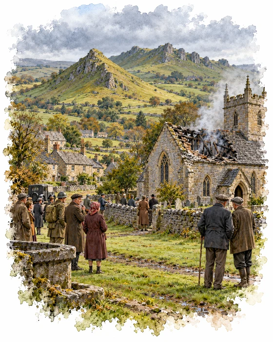
The church of St Michael in Earl Sterndale stands on the site of a much older chapel. The village was once a chapelry of Hartington, and a list of church goods from the middle of the 16th century records "Sternedall Chapell" with one bell and one broken bell. The present church was built in 1828 to a design by G. E. Hamilton, and an enlarged chancel by R. R. Duke was added in 1877.
In 1941, during the Second World War, a German air raid hit the village and its church. The roof was lost and the furnishings inside were destroyed. Nobody is quite sure what the bombers were after. One account says they were probably aiming for an explosives dump nearby; another says the real target was thought to be the D.P. Battery works in Bakewell, where batteries for submarines were made.
The church was partly rebuilt between 1950 and 1952, with the inside completely renewed. One of the few things to survive from the old building is its font, which probably dates from the 12th century. The church is now Grade II listed, and you pass close by it at the end of the walk.
More Hikes
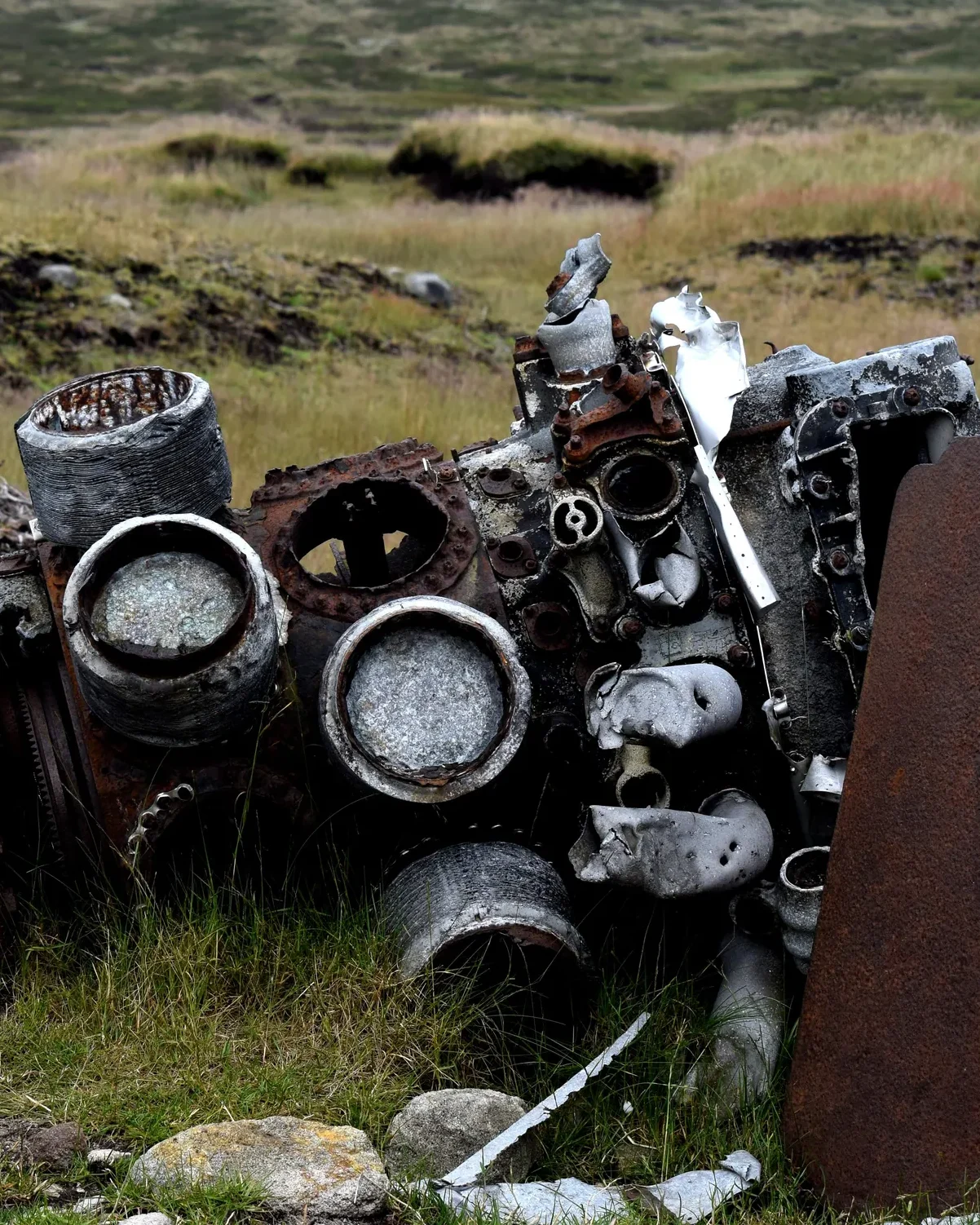 ModerateThe Crashed Plane3.7 mi · 2–3 hrs · 145m
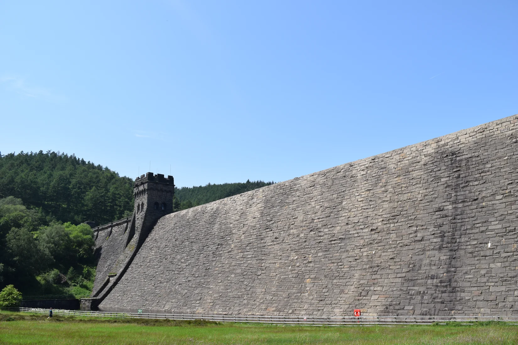 ModerateDerwent Edge7.5 mi · 3–4 hrs · 367m
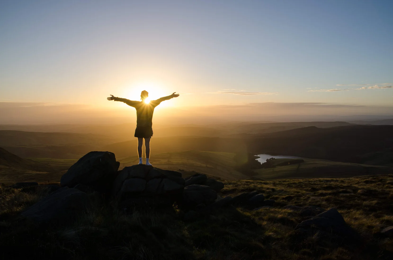 HardKinder Scout9.4 mi · 4–6 hrs · 635m
 ModerateDovedale & Thorpe Cloud6.8 mi · 3½–4½ hrs · 476m
 EasyCurbar & Froggatt Edges5.8 mi · 2½–3½ hrs · 252m
 ModerateShutlingsloe6.4 mi · 3–4 hrs · 429m
Subscribe for updates on new hikes and National Parks
One email a month with new hikes and routes. No spam.