



Contents
Overview
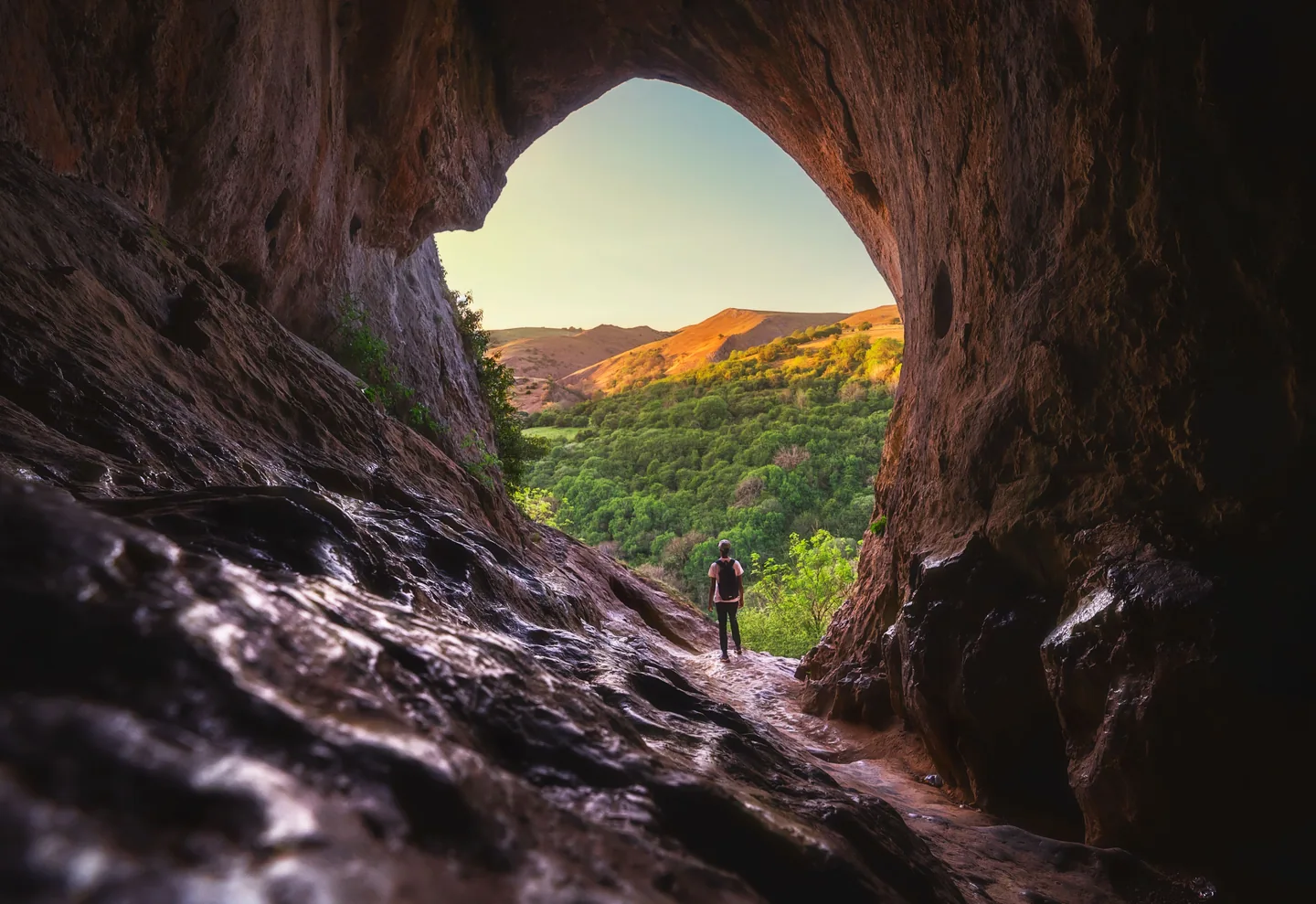
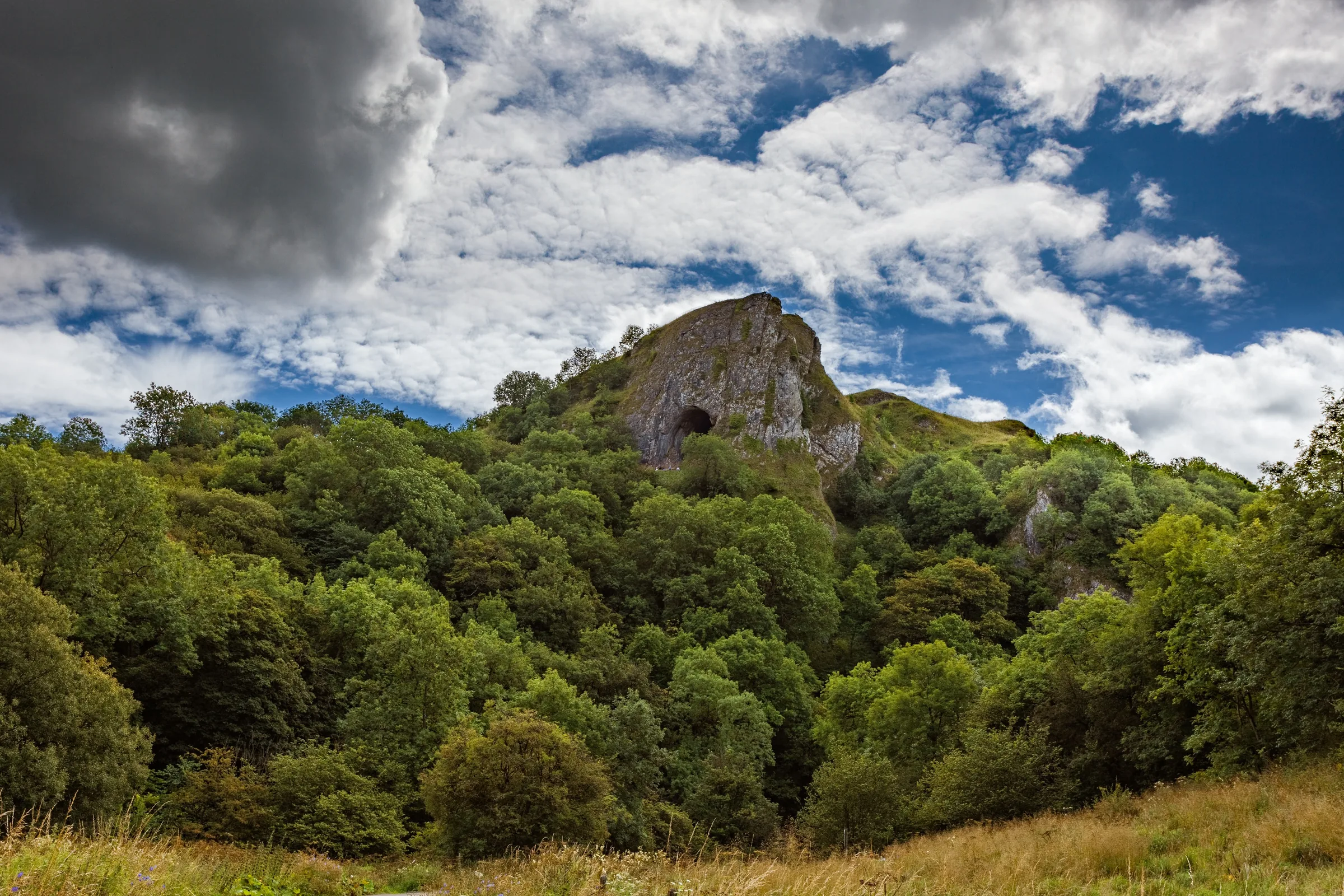
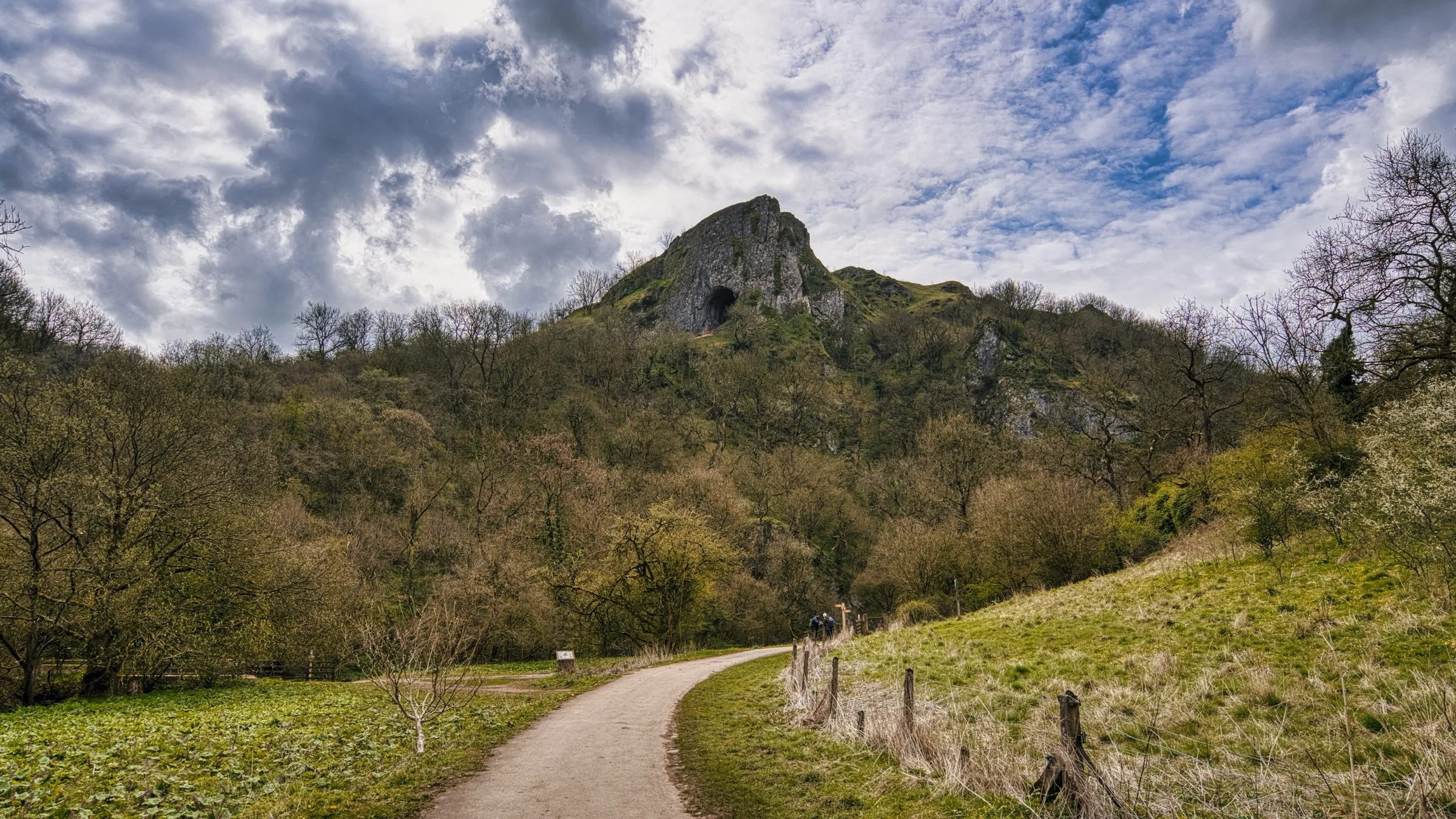
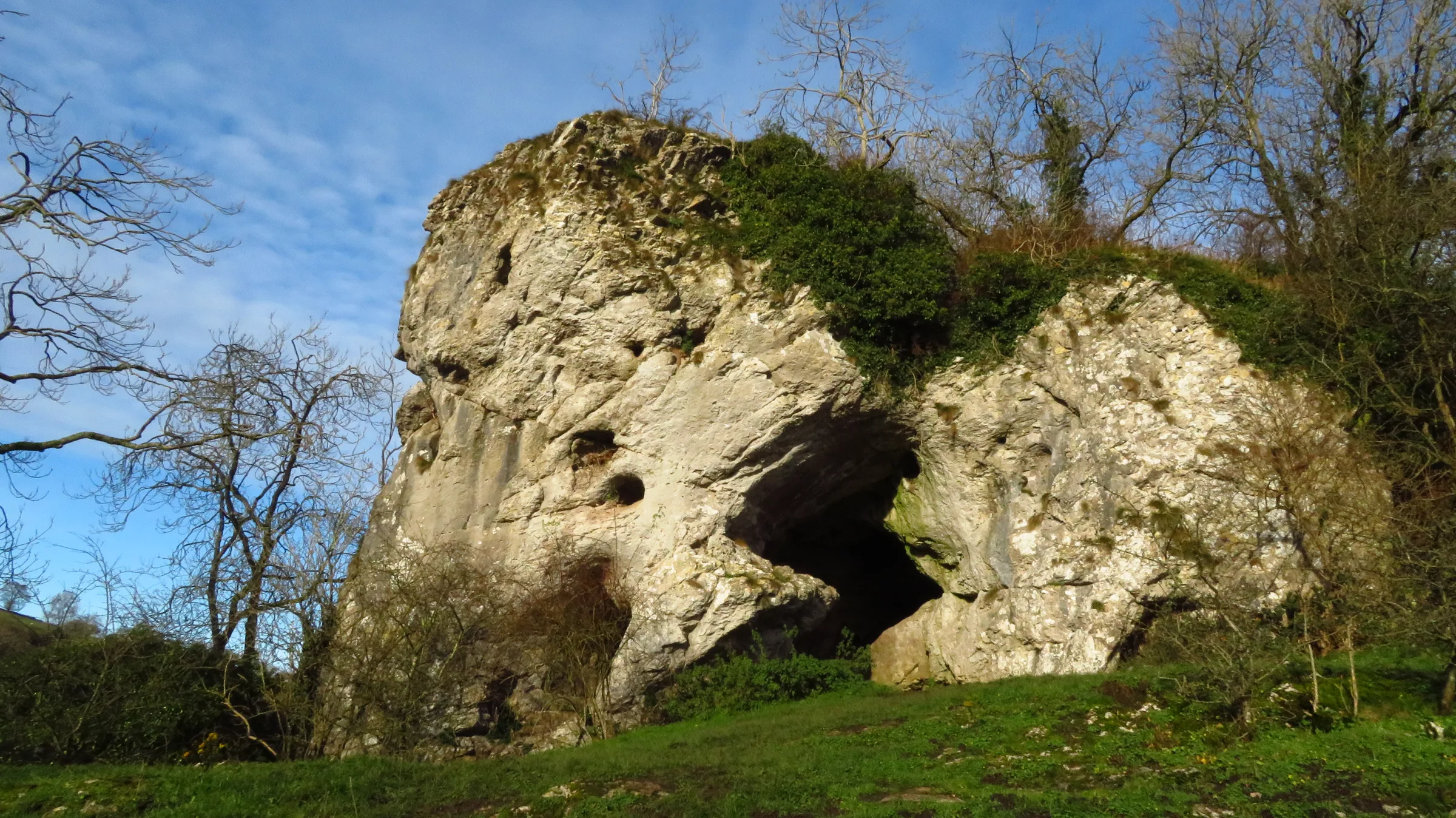
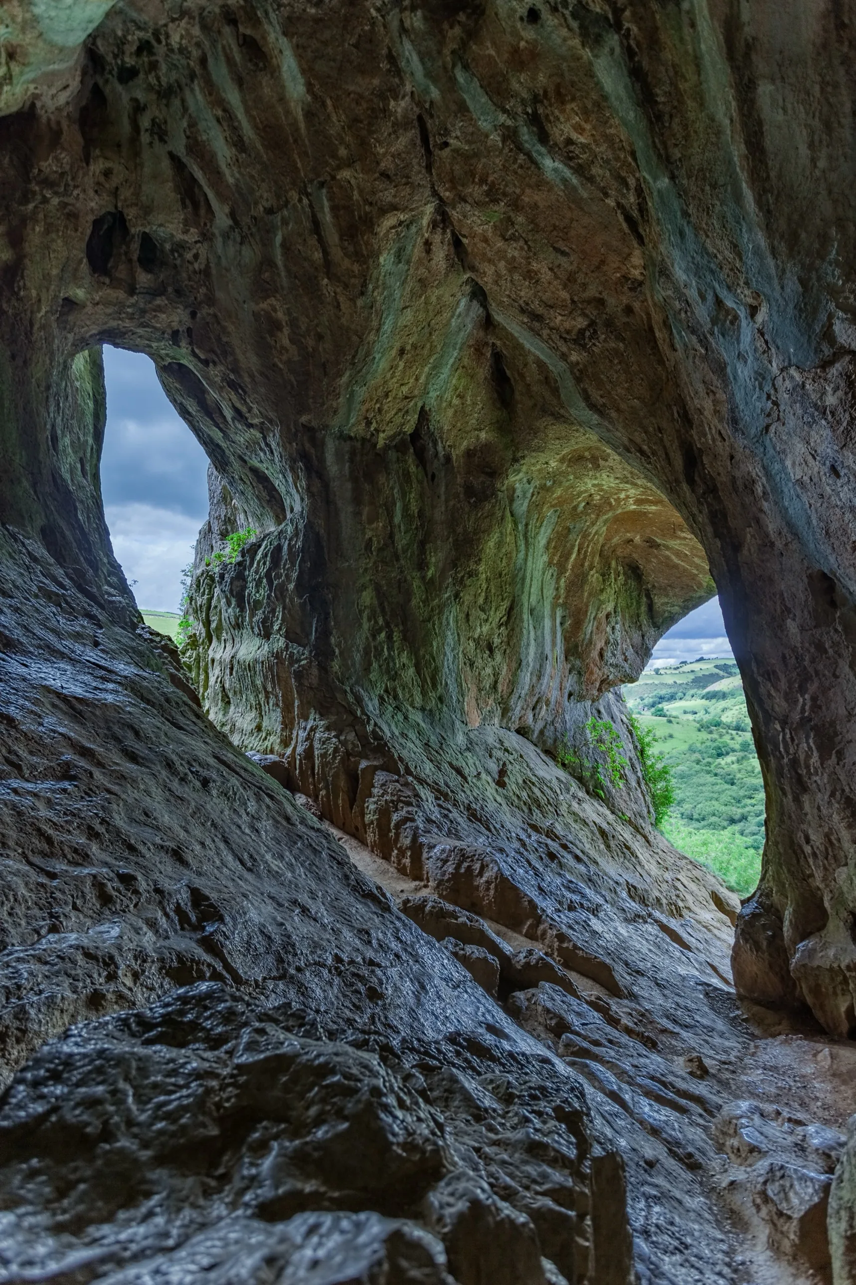
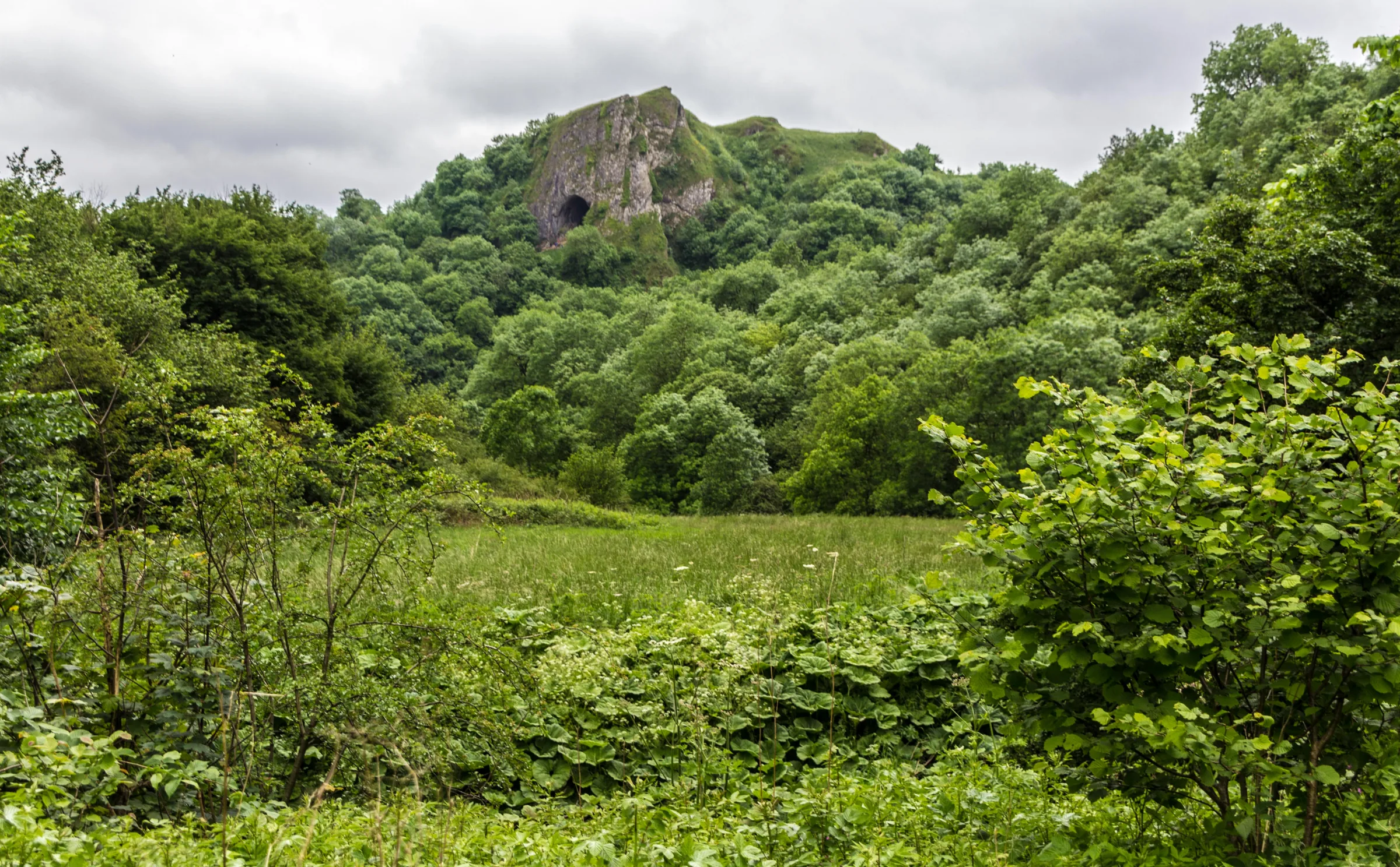
Halfway up a limestone crag above the River Manifold, the great arched mouth of Thor's Cave looks out across the valley. The arch is about 7.5m wide and 10m high, and people used the cave from the end of the Old Stone Age right through to Roman times. Nobody is sure where the name comes from: it may be from tor, meaning a rocky peak, or from Thor, the Norse god of thunder. Below the cave the valley floor carries the Manifold Way, a path on the bed of the Leek and Manifold Valley Light Railway, which ran from 1904 to 1934. For much of the year the river itself disappears underground near Wetton Mill.
This loop starts at the small car park in Wetton, high on the east side of the valley. You head west through the village and out along Thor's Lane, a farm track, then follow a path round the hillside to the cave. Stone steps take you steeply down through the woods to the river and the Manifold Way, which you follow north along the valley floor. Where it meets the road you cross into a dry side valley below Wetton Hill and go over a low rise to Wetton Mill and its tea room. From the mill a footpath climbs past Dale Farm and up a quiet valley to the lane at Back of Ecton. The lane drops south to a footbridge at the foot of Wetton Hill, and a last climb on field paths along the hill's western side brings you to the highest ground of the walk before you drop back into Wetton.
Go prepared, stay safe,
and enjoy the hike!
Key Info
Crowds
High
Thor's Cave gets busy, and you may have to wait your turn to climb up into it safely. The Manifold Valley is one of the National Trust's busiest spots in the area, with car parks filling by 9AM on weekends, bank holidays and school holidays. Start early, or go late in the day, for a calmer visit.
When it gets busy
- Weekends, bank holidays and school holidays
- Sunny days in general
- Thor's Cave itself, where people queue to climb in
- Wetton car park, which is small and can fill quickly
For a quieter walk
- Visit at the start or end of the day to avoid waiting at the cave
- If you start later, walk the route in reverse so you reach the cave near the end, when it's quieter
- Go on a weekday outside the school holidays
- Arrive before 9AM at weekends and in the holidays if you want a space
- If the car park is full, there is an overflow car park; never park on the village green or across driveways
Our crowd rating is for a typical sunny weekend in spring or summer, in the middle of the day. Timing makes a big difference, so even a busy walk can be quiet early, late or midweek.
The Route
Disclaimer: Route information and GPX files are provided for general guidance only. Conditions can change, so always use your own judgement and navigate responsibly. See our Terms of Use & Disclaimer for more information.
Route Guide
- 1
Through Wetton to Thor's Lane0.6 mi · 10m up · 30m downLeave the car park and walk west through the village, following signs for Wetton Mill. Soon after you join Leek Road, turn left onto Thor's Lane, a farm track signed for Thor's Cave. It is a permissive path, open to walkers but not to cars, and it runs gently downhill across the fields.
- 2
Round to Thor's Cave0.3 mi · 10m up · 45m downWhere the track ends, carry on along the footpath as it curves round the hillside to the mouth of the cave. The rock at the entrance is polished and slippery, so take care, and keep away from the drops at the front.
- 3
Steps down to the river0.3 mi · 10m up · 60m downCome back down from the cave and follow the stone steps steeply down through the trees, dropping about 60m to the valley floor. At the bottom, cross the footbridge over the River Manifold to reach the Manifold Way, the surfaced track on the old railway line.
- 4
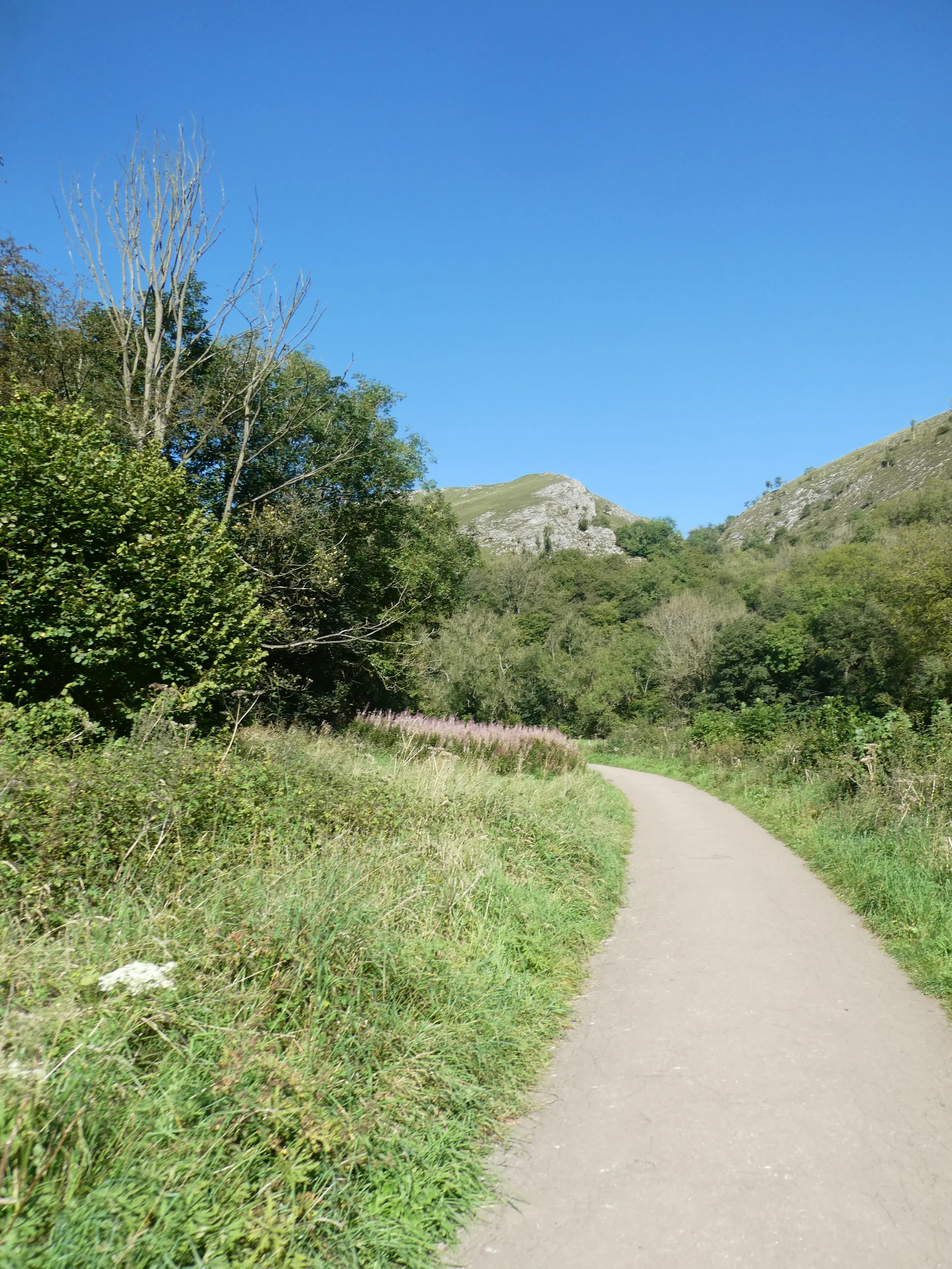
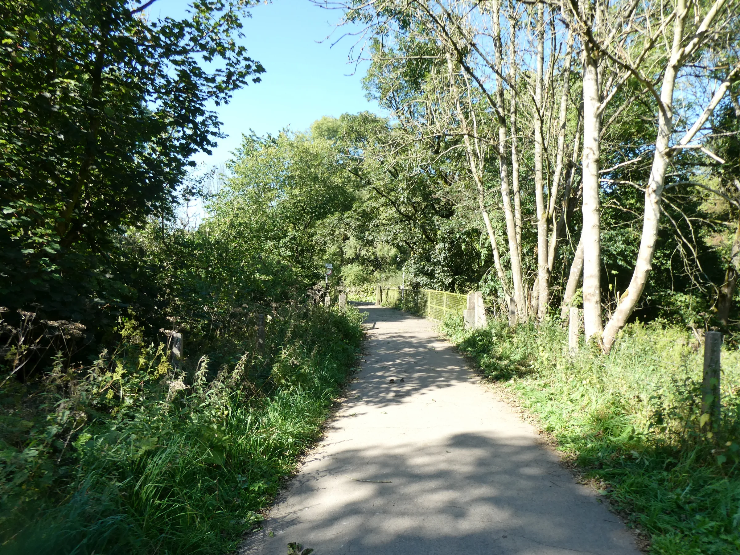
North on the Manifold Way0.4 mi · 10m up · 15m downTurn right and follow the flat track north along the valley floor, past the site of the old Thor's Cave station. The track crosses the river and soon meets Leek Road.
- 5
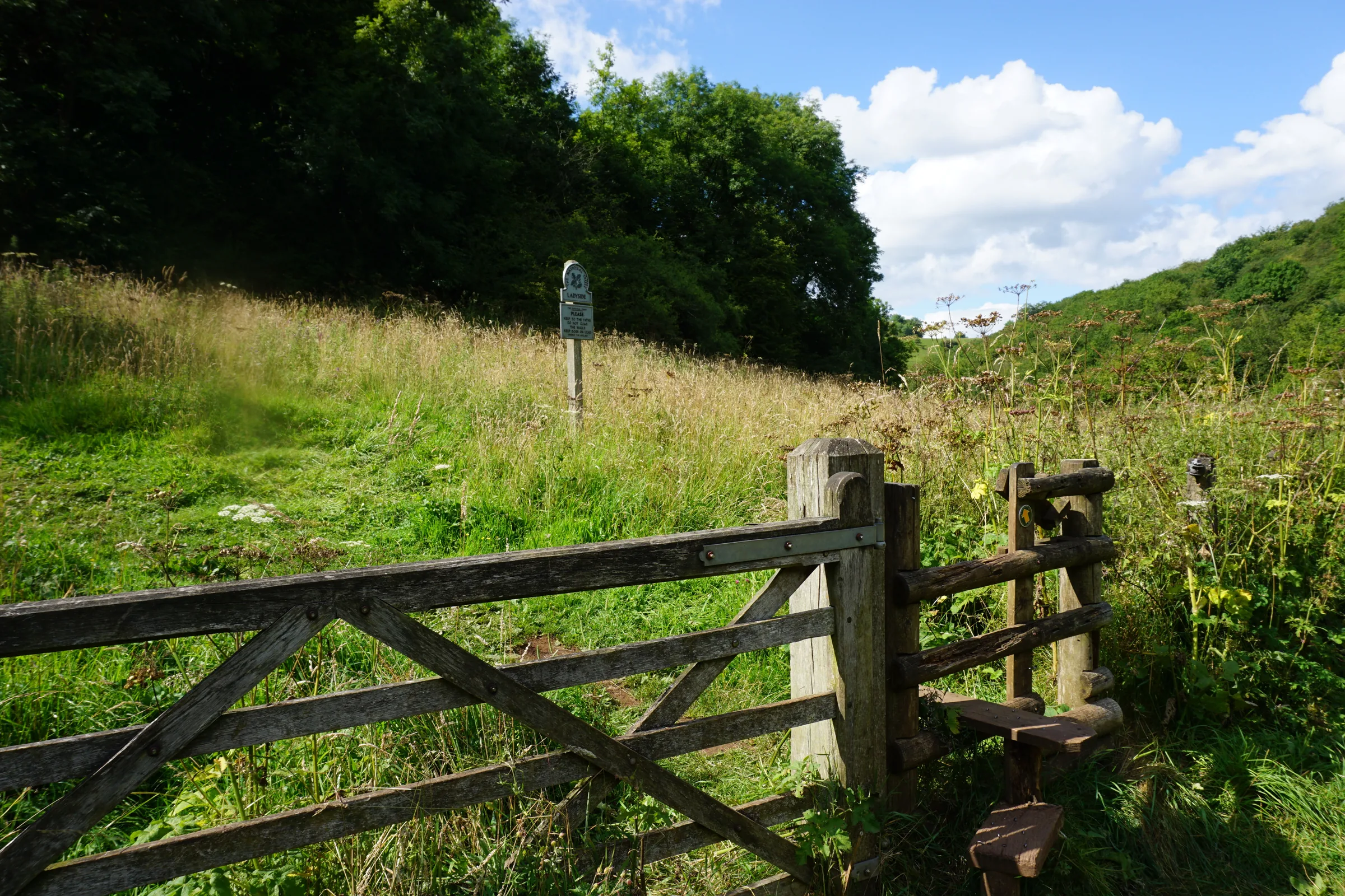
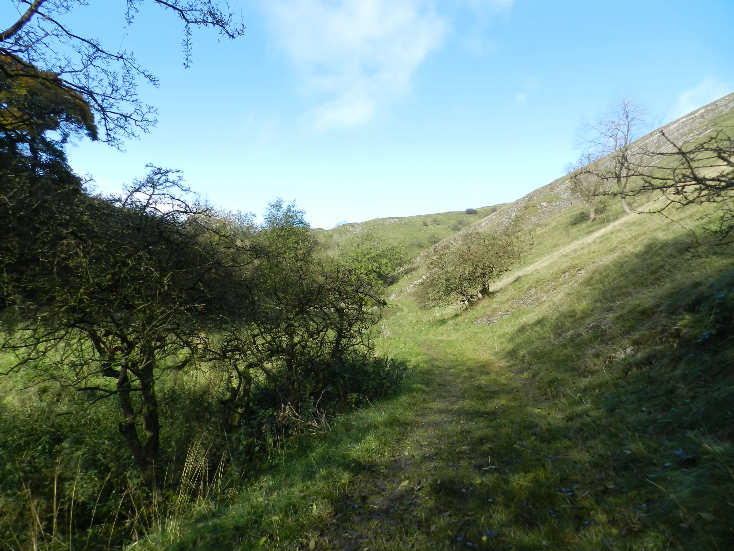
Dry valley to Wetton Mill0.6 mi · 30m up · 25m downCross the road and go over the stile into the dry valley beneath Wetton Hill. Follow the valley floor until a path on the left takes you up over a low rise and down to Wetton Mill, where the tea room makes a good halfway stop.
- 6
Up to Back of Ecton1.0 mi · 130m up · 10m downWithout crossing the river, turn right along the track to Dale Farm and go through the farmyard. A footpath then climbs steadily north-east up a quiet valley, gaining about 120m, to meet the lane at Back of Ecton. Turn right and follow the lane a short way east.
- 7
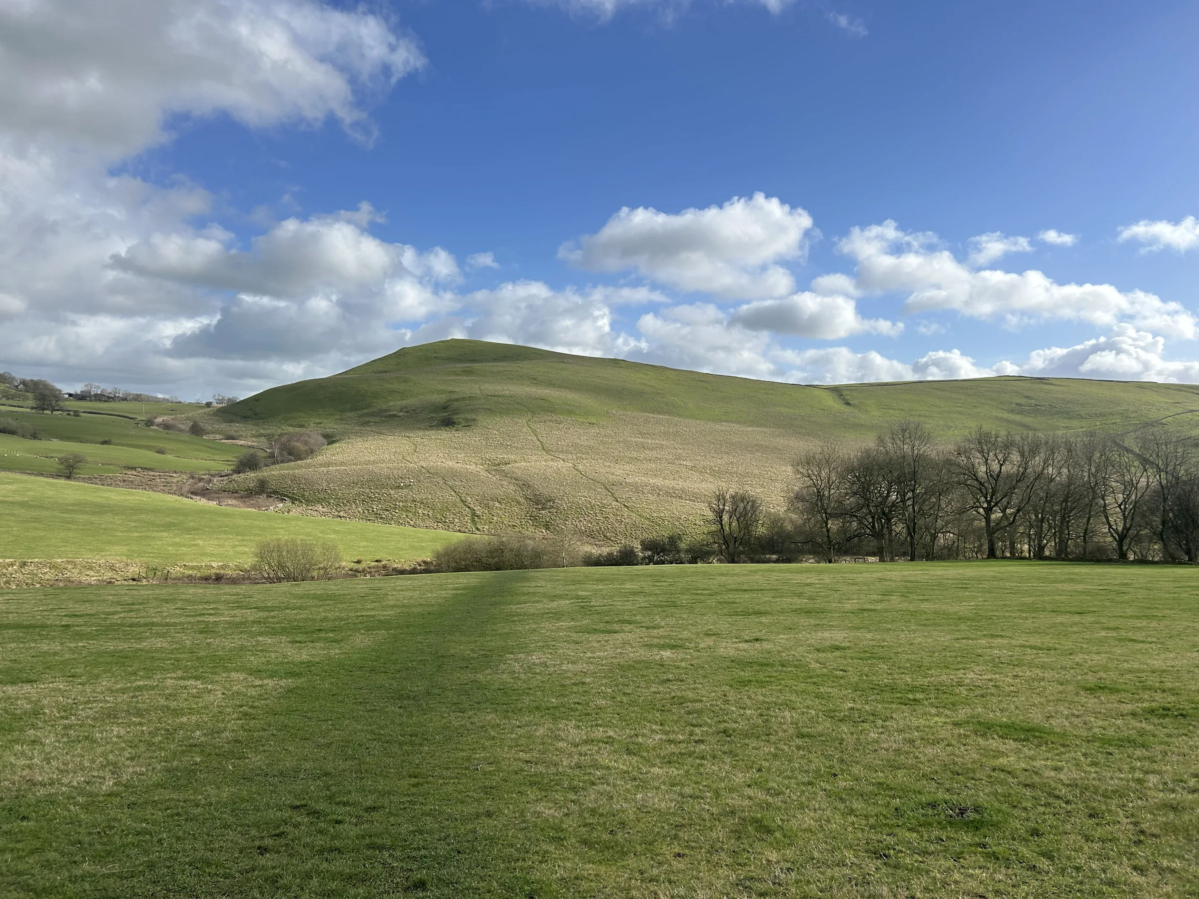
Home past Wetton Hill1.6 mi · 90m up · 115m downFollow the lane as it turns downhill to the south. Just before a driveway, take the footpath through a small copse and across a field to a footbridge over a stream at the foot of Wetton Hill. From here the path signed for Wetton climbs south along the western side of the hill to the highest ground of the walk, then drops on a track into the village. Walk through Wetton to the car park.
Use the route on OS Maps, AllTrails or Komoot to navigate on the day; this guide is for planning.
Parking
The start is the small free car park on Carr Lane in Wetton. Staffordshire Moorlands District Council lists it with 25 spaces and gives its hours as 8AM to 6PM. It can fill quickly at weekends and other busy times, so arrive early. If it's full, you can start from Wetton Mill instead (see Alternative Parking). Please don't park on the village green, on kerbs, or across driveways or the narrow lanes. Check the latest prices here.
Alternative Parking
Facilities & Hospitality
The village pub sits in the middle of Wetton, a short walk from the car park, and serves home-cooked food and real ales, and has free Wi-Fi. The sport of toe wrestling began here in the 1970s.
Right on the route at about 2.1 miles, in the old corn mill by the river, with public toilets next door. Opening times change with the seasons, so check before you go.
Weather
Hike Videos
Note: Videos are made by other walkers, not The Lost Peak. They may not follow this exact route, and paths, conditions and facilities may have changed since filming.
Photo Gallery
Photos
Photo credits
Photos without a credit are our own. These are used under Creative Commons licences; thank you to the photographers.
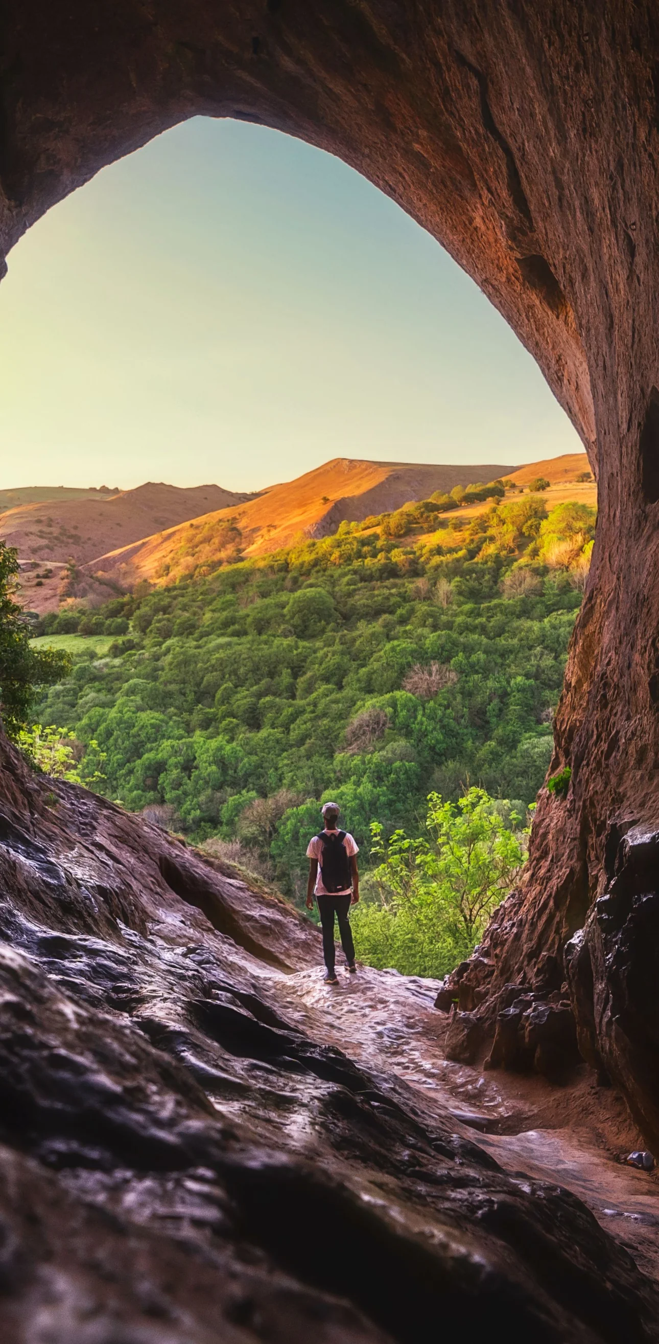
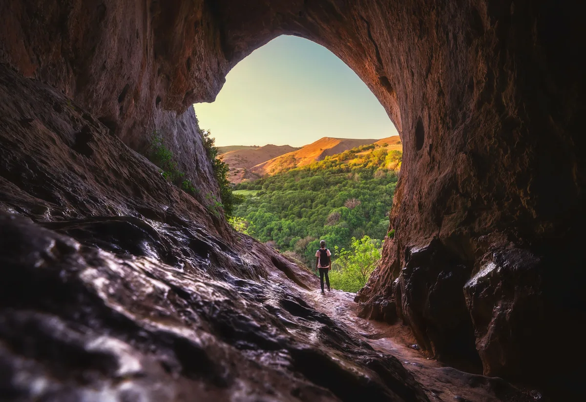 Looking out of Thor's Cave over the Manifold ValleyHero photo · by Jabran Azam, PexelsOriginal photoPexels licence
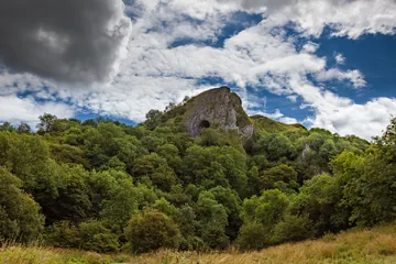 Thor's Cave above the Manifold Valleyby Iankelsall1, Wikimedia CommonsOriginal photoCC BY-SA 4.0 licence
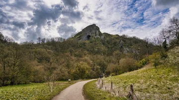
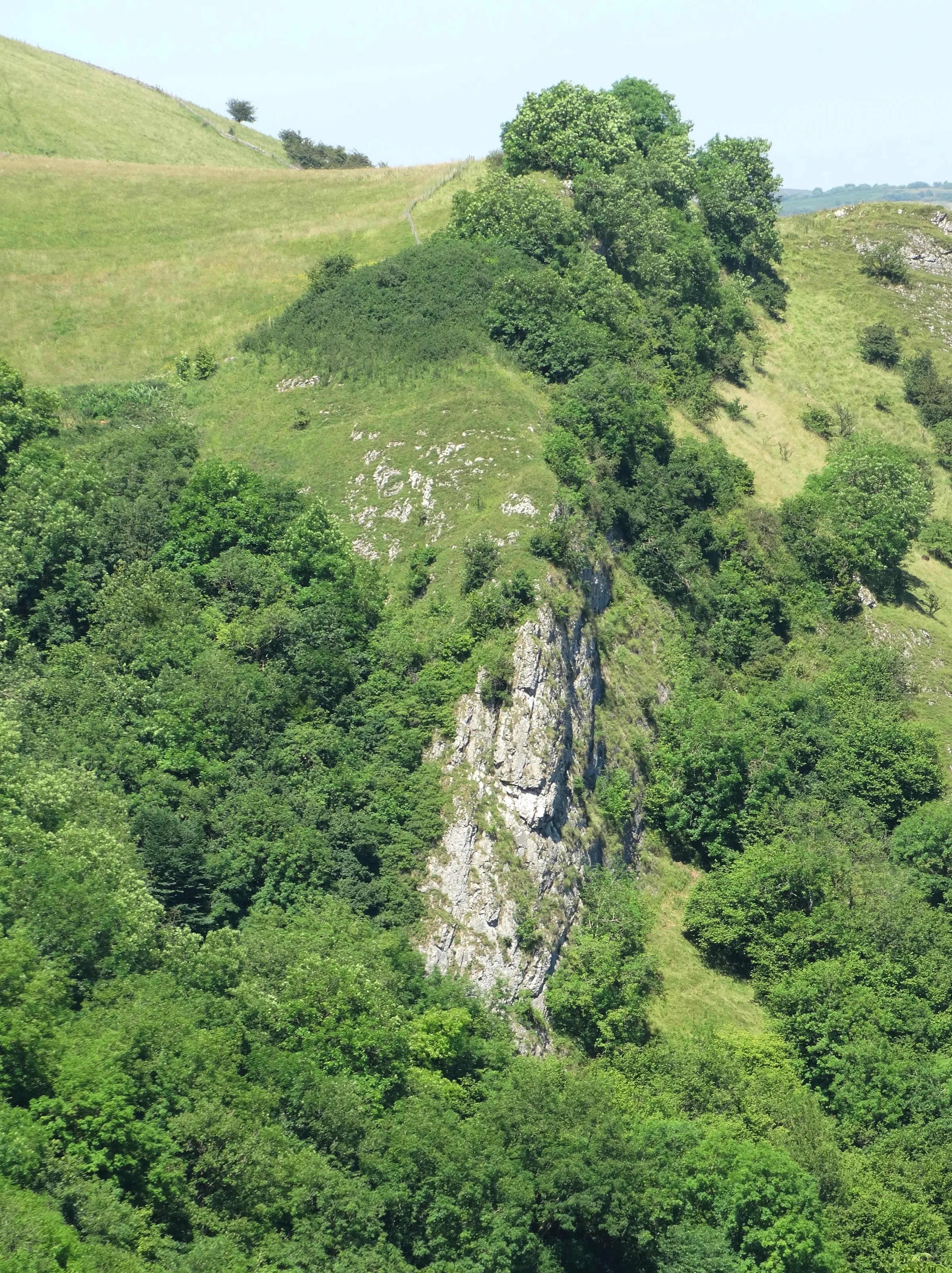
 A view of Ossom's Cragby Neil Theasby, Wikimedia Commons (Geograph)Original photoCC BY-SA 2.0 licence
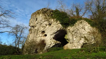 Wetton Mill Rock Shelterby Colin Park, Wikimedia Commons (Geograph)Original photoCC BY-SA 2.0 licence
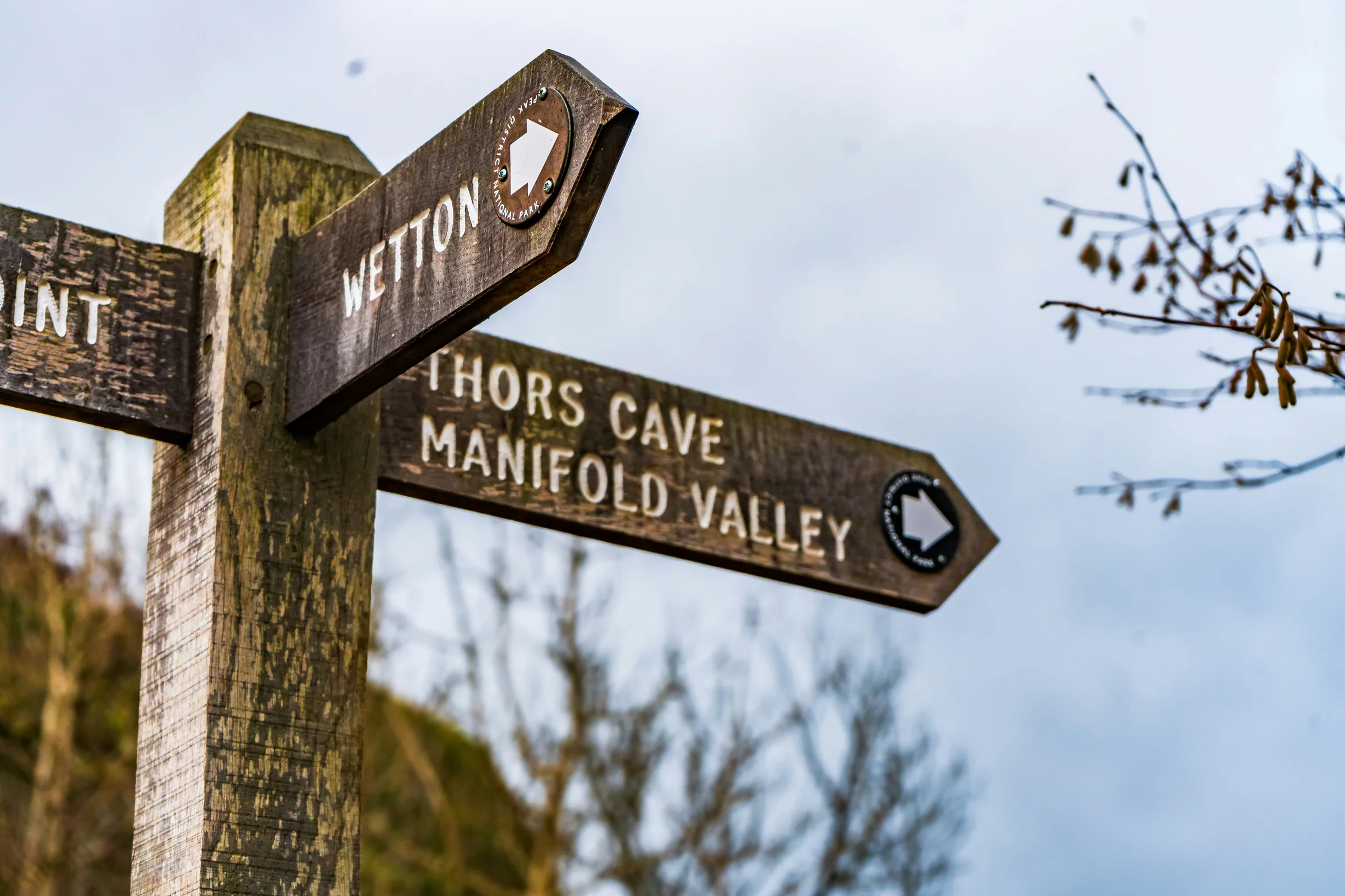
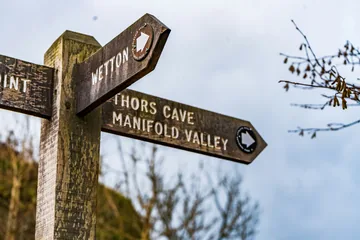 Signpost to Thor's Cave and the Manifold Valleyby Julia Fiander, UnsplashOriginal photoUnsplash licence
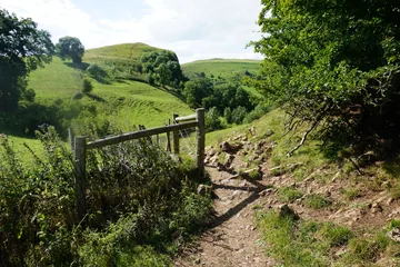
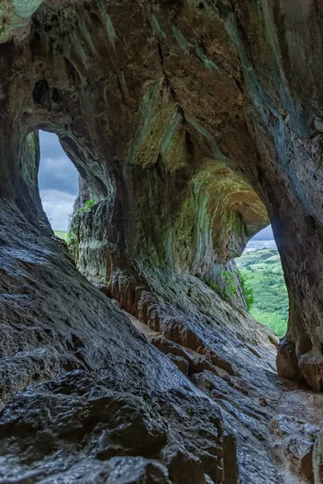
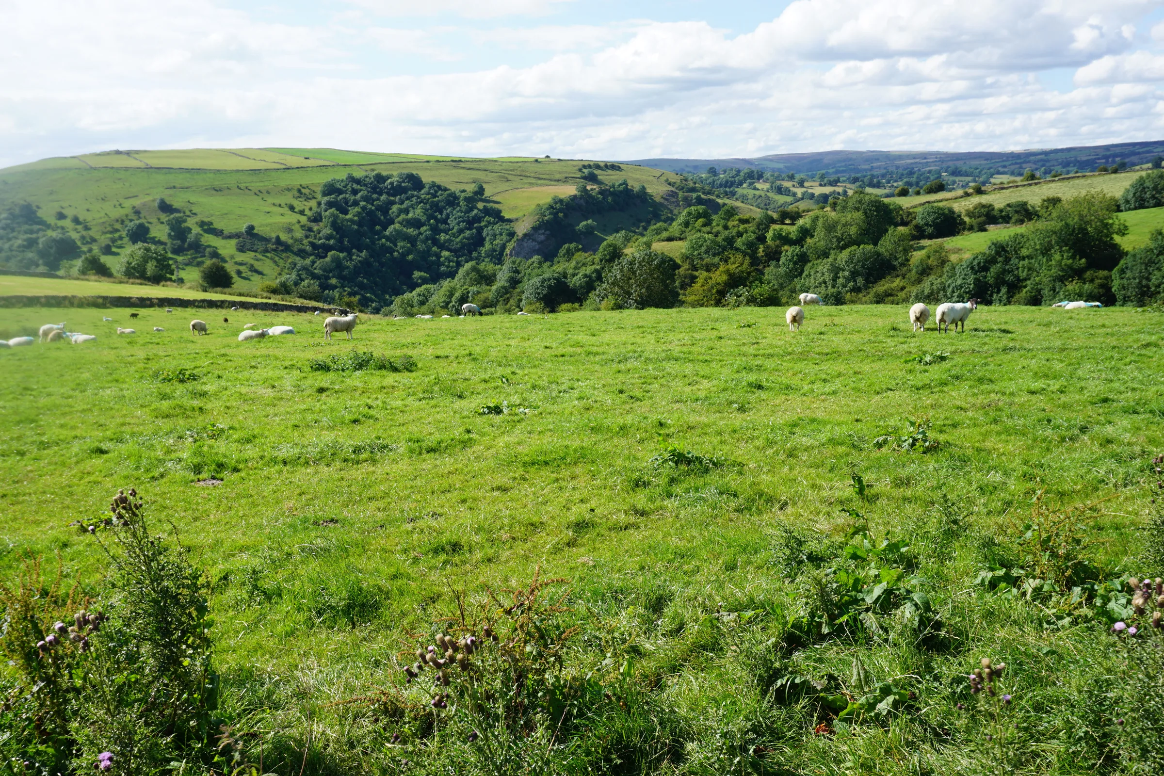
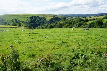 Sheep grazing near Wettonby Bill Boaden, Wikimedia Commons (Geograph)Original photoCC BY-SA 2.0 licence
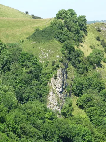
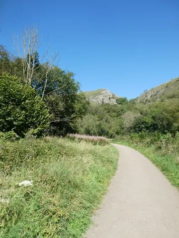 Cliffs overlooking Manifold Wayby David Smith, Wikimedia Commons (Geograph)Original photoCC BY-SA 2.0 licence
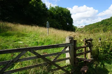 National Trust land below Ossoms Hillby Bill Boaden, Wikimedia Commons (Geograph)Original photoCC BY-SA 2.0 licence
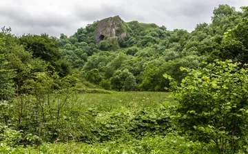
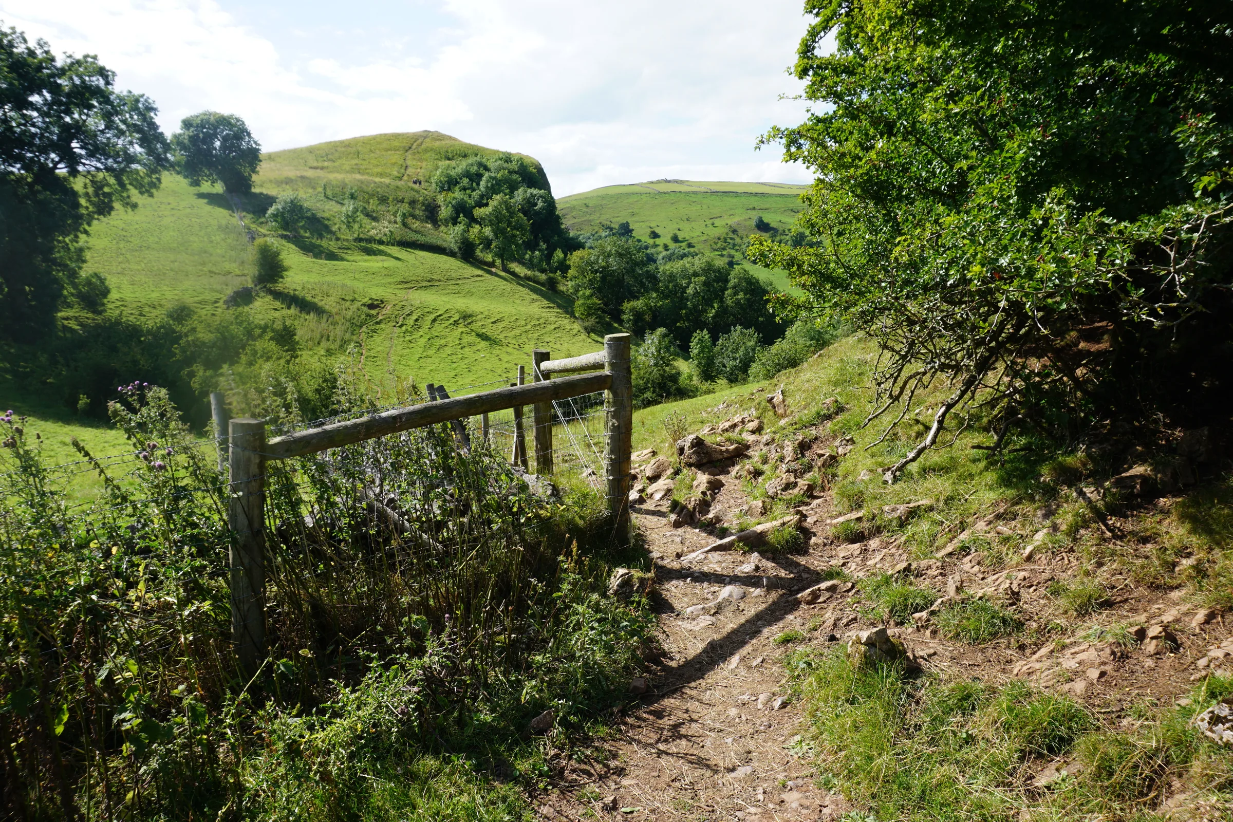
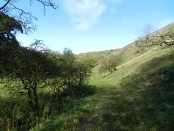 Footpath west of Wetton Hillby Peter Barr, Wikimedia Commons (Geograph)Original photoCC BY-SA 2.0 licence
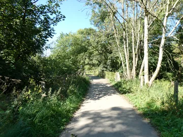 Manifold Way bridge over riverby David Smith, Wikimedia Commons (Geograph)Original photoCC BY-SA 2.0 licence
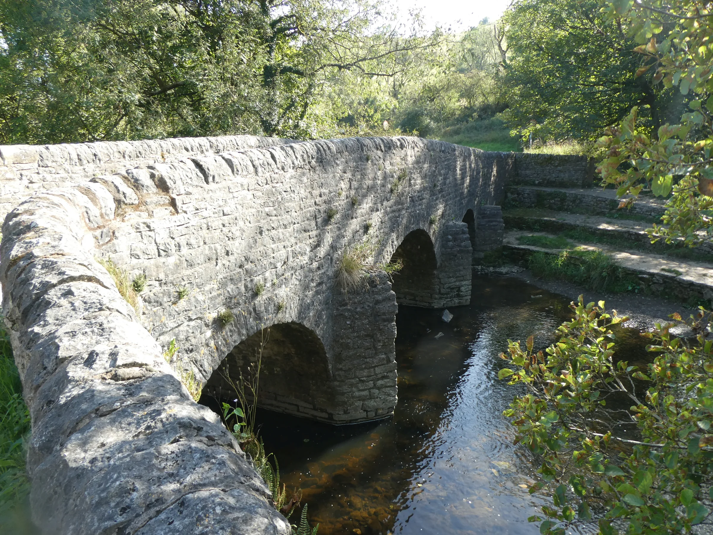
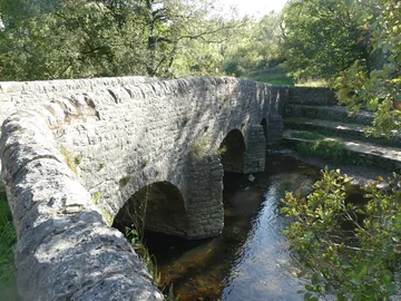 Bridge over River Manifold at Wettonmillby David Smith, Wikimedia Commons (Geograph)Original photoCC BY-SA 2.0 licence
Hints & Tips
Slippery Cave Mouth
The way into Thor's Cave is a short scramble over polished rock, and it is slippery in all conditions. There are steep, unguarded drops at the entrances, so keep children close. Climbing on the rocks around the cave isn't advised, and if you want to look into the dark back of the cave, bring a torch.
Tea Room Days
The tea room at Wetton Mill, at about 2.1 miles, is open every day in summer but only at weekends in winter, so on a winter weekday bring your own lunch. There are toilets in the tea room.
Stiles and Livestock
There are stiles on the field paths, including the one into the dry valley below Wetton Hill, so dogs may need a lift. Dogs are welcome, but keep them on a lead: the fields often hold livestock, and ground-nesting birds use the farmland.
Add Ecton Hill
At Back of Ecton you're not far below Ecton Hill. Instead of heading down the lane, you can follow the footpath over the fields to a permissive path along its ridge and on to the trig point, passing old mine shafts from its copper mining days. Come back the same way to rejoin the route at Back of Ecton.
Interesting Facts
General
Climbers' Crag
Rock climbers have been climbing the crag around Thor's Cave since the early 1950s, when Joe Brown was among the first to explore it
Cave on Camera
Ken Russell used Thor's Cave as a location for his 1988 film The Lair of the White Worm, starring Hugh Grant
The Vanishing River
For much of the year the River Manifold sinks into swallow holes near Wetton Mill and runs underground for about five miles, coming back up in Ilam Park
A Green Chapel?
Some scholars have suggested that Nan Tor Cave, by Wetton Mill, could be the Green Chapel from the medieval poem Sir Gawain and the Green Knight
The Schoolmaster's Dig
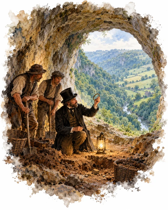
Samuel Carrington was the schoolmaster at Wetton and a local antiquary. In Borough Fields near the village he found the remains of an Anglo-Saxon settlement, with signs of Roman life before it, and his friend Thomas Bateman, the leading antiquary of the area, dug there and described their finds in his book Ten Years' Diggings in 1861. In 1864 and 1865 Carrington turned to Thor's Cave and excavated it.
His finds included flint arrowheads, bone combs, bronze bracelets, Roman Samian ware and a Roman coin, and he published an account of the dig in 1866. A second round of digging between 1927 and 1935 followed. Between them, the two digs turned up stone tools, pottery, amber beads and bronze objects in Thor's Cave and in Thor's Fissure Cavern, a second cave below its side entrance, along with the burials of at least seven people. The finds suggest the cave was used from the end of the Old Stone Age, with the busiest times in the Iron Age and the Roman period, and they are now spread between museums in Buxton, Derby, Stoke-on-Trent and Sheffield.
Carrington went on to appear in fiction. In Eliza Meteyard's novel Dora and her Papa, published in 1869, he and Bateman became the leading characters Hornblower and Flaxdale. By then Carrington was schoolmaster and parish clerk at Wetton, and he was buried in the village churchyard. The walk passes close to the church, St Margaret's, near the end. Its tower dates from the 14th century, the rest was rebuilt in 1820, and it has an unusual outside staircase up to the belfry.
The Little Milk Railway
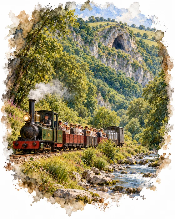
The Leek and Manifold Valley Light Railway opened in June 1904 and ran for about eight miles from Waterhouses, up the Hamps and Manifold valleys, to Hulme End. It was built to cheaper light railway standards, on a narrow gauge of just 2ft 6in. Its engineer, Everard Calthrop, had built the Barsi Light Railway in India, and its two little steam engines had a colonial look, with big headlamps that were never used. Thor's Cave had its own halt, which this walk passes on the valley floor below the cave. It was renamed Thor's Cave for Wetton in 1914, and in 1917 its refreshment room was moved up to the village.
The line's main job was milk. Churns, and later tanker wagons carried on special transporter wagons, came from the farms and the creamery at Ecton, and between 1919 and 1926 special milk trains ran straight from Waterhouses to London. Ordinary passengers were few, because most of the villages sat on the hilltops about a mile above the line, but bank holidays were a different story: in Whit Week 1905 the railway carried some 5,000 people, and every engine and carriage was put to work.
The end came quickly. The creamery at Ecton closed in the early 1930s, and buses served the hilltop villages far better than trains in the valley bottom. The last trains ran in March 1934. The trackbed was handed to Staffordshire County Council, which opened it as a footpath in July 1937, and today the Manifold Way is a surfaced track used by walkers, cyclists and horse riders.
More Hikes
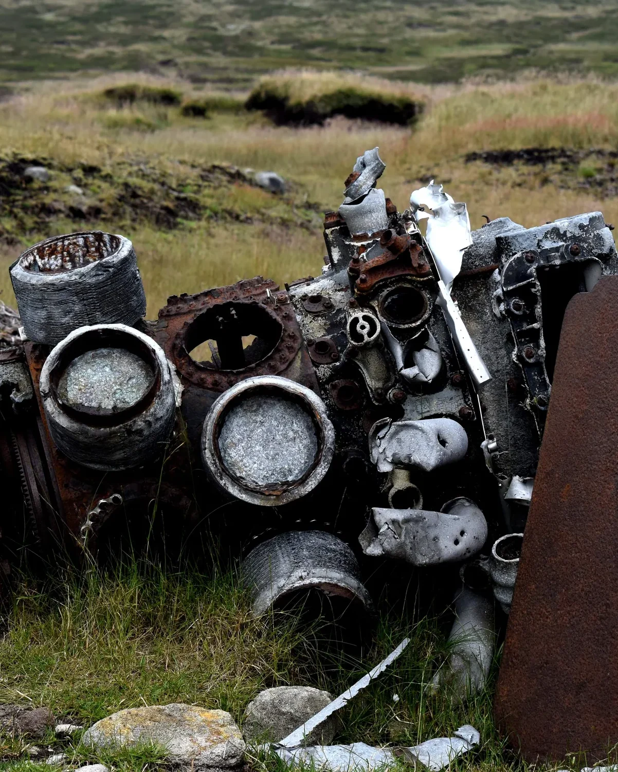 ModerateThe Crashed Plane3.7 mi · 2–3 hrs · 145m
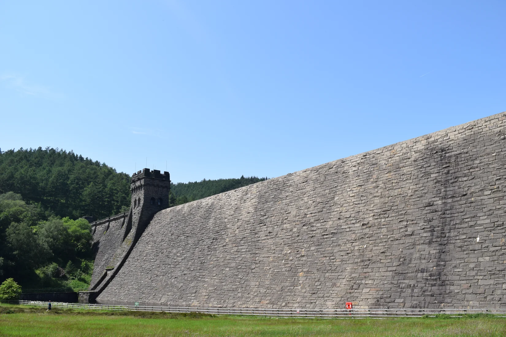 ModerateDerwent Edge7.5 mi · 3–4 hrs · 367m
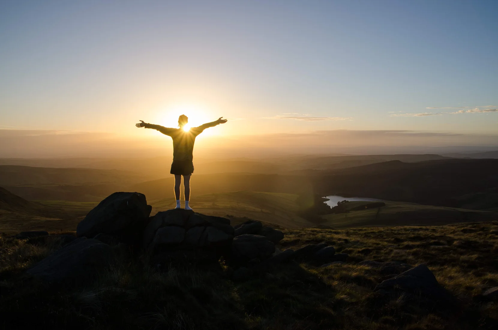 HardKinder Scout9.4 mi · 4–6 hrs · 635m
 ModerateDovedale & Thorpe Cloud6.8 mi · 3½–4½ hrs · 476m
 EasyCurbar & Froggatt Edges5.8 mi · 2½–3½ hrs · 252m
 ModerateShutlingsloe6.4 mi · 3–4 hrs · 429m
Subscribe for updates on new hikes and National Parks
One email a month with new hikes and routes. No spam.