


Hill data: The Database of British and Irish Hills v18.6 (CC BY 4.0)Height1,065.3 m3,495 ft
Grid RefSH 61082 55158
OS MapOL17OS Explorer
AreaSnowdon
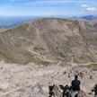
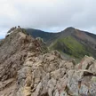
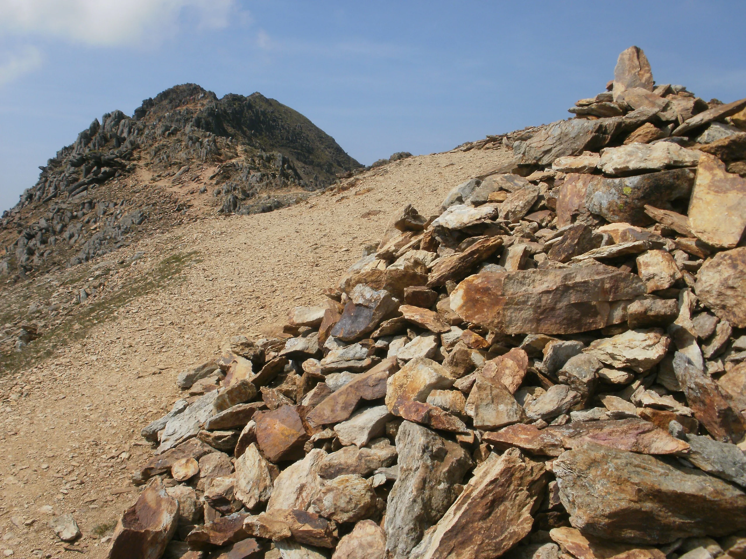
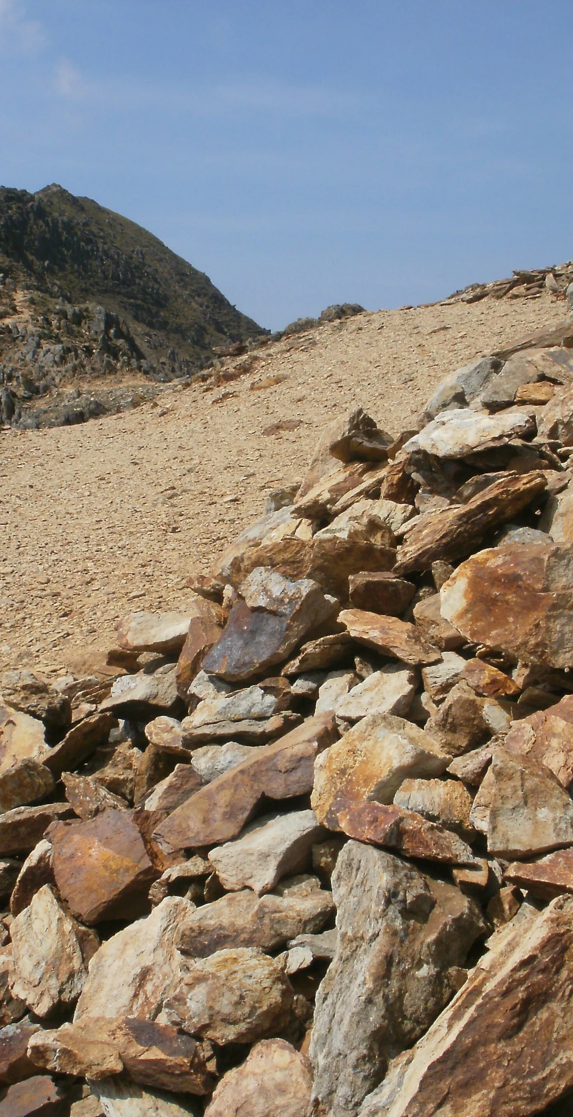
Often counted as the second-highest peak in Wales, this 1065.3 m summit sits just under a kilometre north of Snowdon. Strictly, Crib y Ddysgl ('ridge of the dish') is the east ridge, and the top itself is Garnedd Ugain, 'Cairn of the Twenty'. It is part of the Snowdon Horseshoe, linked to Crib Goch by the col of Bwlch Coch and to Snowdon by Bwlch Glas, and the highest rock lies about 6 m south-west of the trig point.
New to the Pennants?Read our guide: What Are The Welsh Pennants?Summit Weather
Our Route
Distance7.5 mi12.1 km
Ascent1,130 m3,710 ft
Time4h 45mwalking
Start & FinishSH 6472 5558Circular route, back to the same spot
DirectionsAlso on this route: Snowdon, Crib Goch, Y Lliwedd
Safety: Routes are a guide only. Carry a map and compass and know how to use them, check the weather before you go, and turn back if in doubt. You use this route at your own risk.