


Hill data: The Database of British and Irish Hills v18.6 (CC BY 4.0)Height674 m2,211 ft
Grid RefSH 58610 56395
OS MapOL17OS Explorer
AreaSnowdon
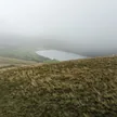
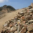
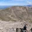
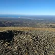
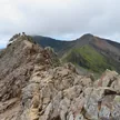
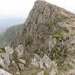
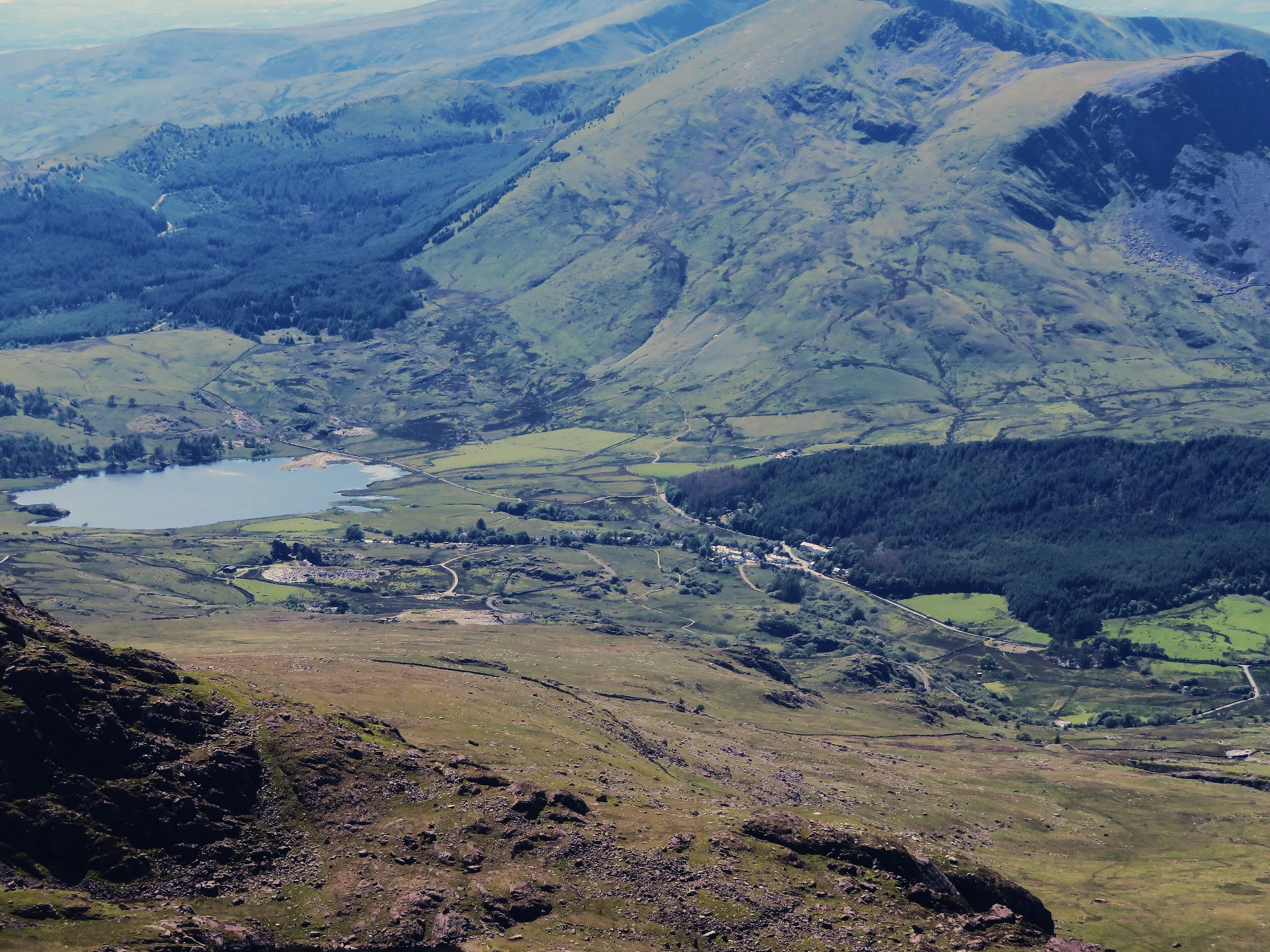
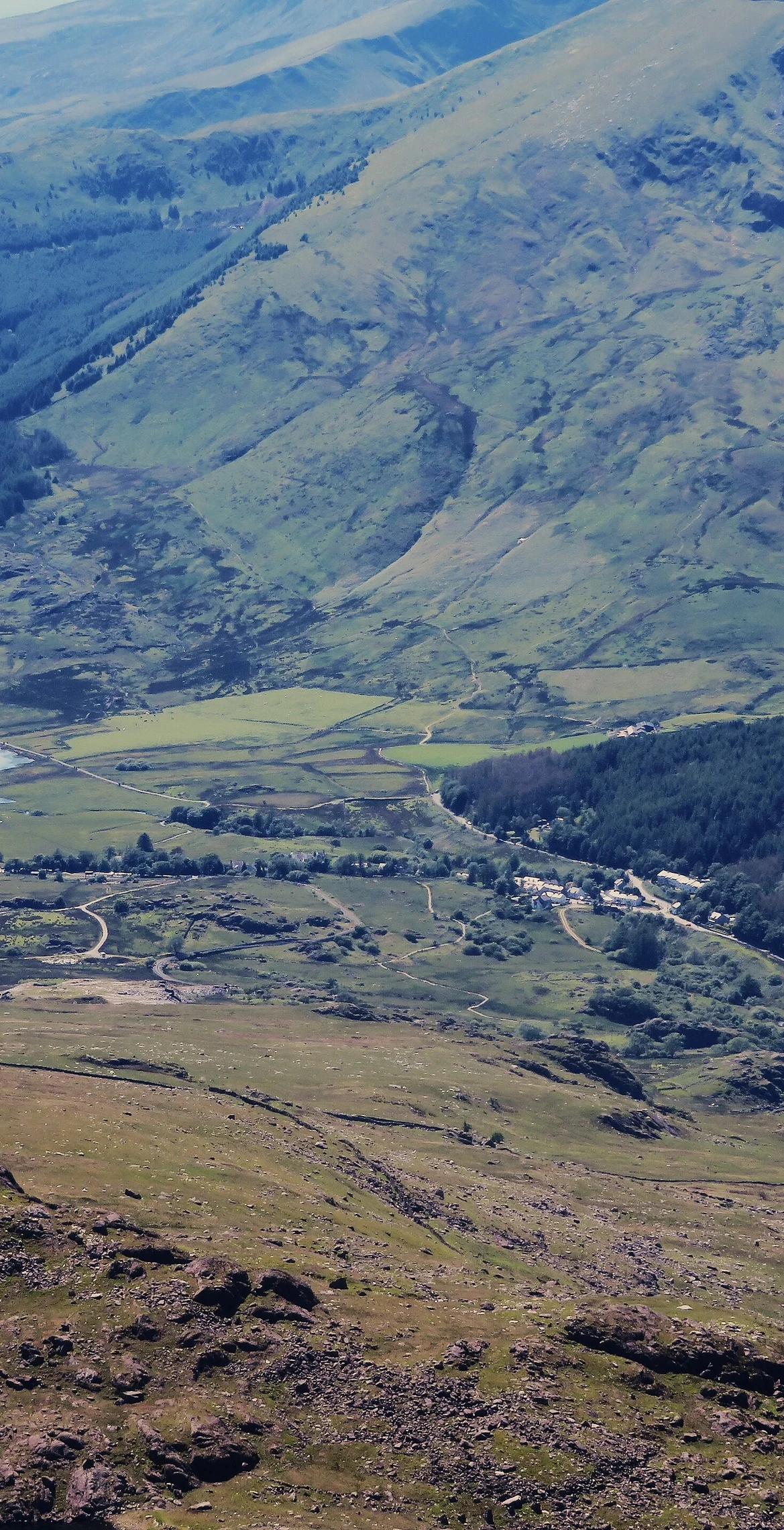
Two miles north-west of Snowdon, Moel Cynghorion ('the Hill of the Councillors') forms part of the Moel Eilio Horseshoe walk. Its 674 m summit sits on a wide plateau, marked by a small pile of stones near a stile, with close views of Clogwyn Du'r Arddu and Snowdon. On a clear day the Wicklow Mountains in Ireland can be seen across the Irish Sea, about 80 miles away.
New to the Pennants?Read our guide: What Are The Welsh Pennants?Rock & Ground
Gentle southern slopes contrast with a precipitous northern side.
Summit Weather
Our Route
Distance8.1 mi13.0 km
Ascent880 m2,890 ft
Time4h 35mwalking
Start & FinishSH 5671 5948Circular route, back to the same spot
DirectionsAlso on this route: Moel Eilio, Foel Gron
Safety: Routes are a guide only. Carry a map and compass and know how to use them, check the weather before you go, and turn back if in doubt. You use this route at your own risk.