


Hill data: The Database of British and Irish Hills v18.6 (CC BY 4.0)Height747.2 m2,451 ft
Grid RefSH 60440 51531
OS MapOL17OS Explorer
AreaSnowdon
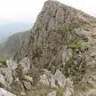
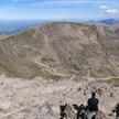
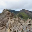
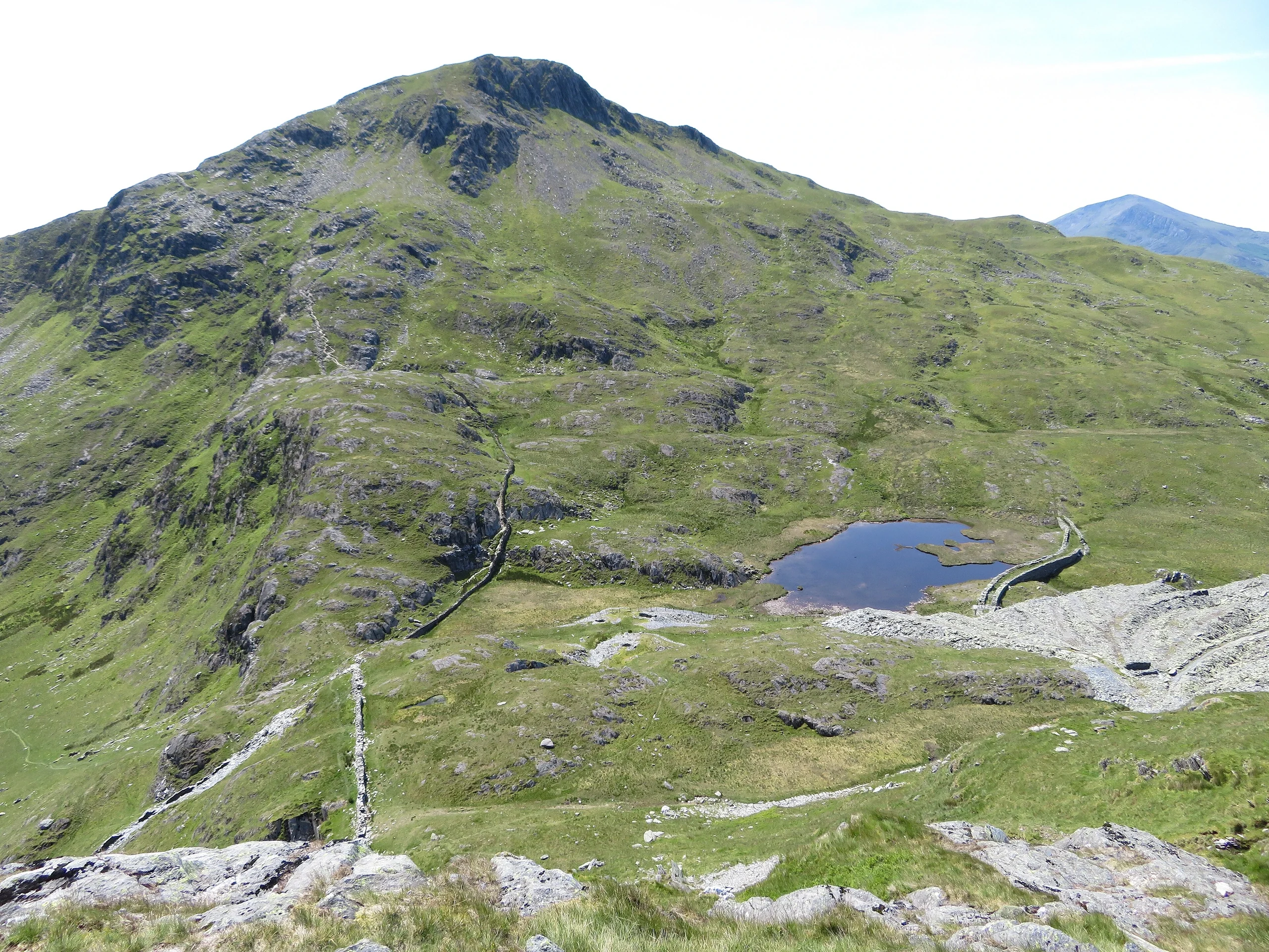
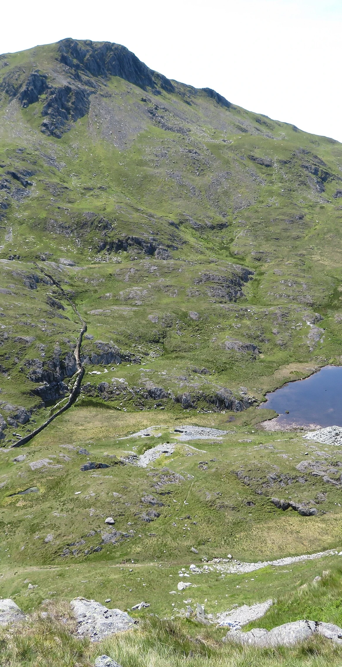
On a ridge running south from Snowdon, Yr Aran rises to 747.2 m, with views of Snowdon's summit, Moel Hebog and the Nantlle Ridge. No paths are marked on maps, but it can be climbed as a detour from the Rhyd Ddu path or the Watkin Path. The highest rock is beside the cairn, and Y Lliwedd is 2.6 km away.
New to the Pennants?Read our guide: What Are The Welsh Pennants?Summit Weather
Our Route
Distance6.1 mi9.8 km
Ascent790 m2,590 ft
Time3h 35mwalking
StartSH 6233 5014Grid reference of the start
DirectionsSafety: Routes are a guide only. Carry a map and compass and know how to use them, check the weather before you go, and turn back if in doubt. You use this route at your own risk.