


Hill data: The Database of British and Irish Hills v18.6 (CC BY 4.0)Height629 m2,064 ft
Grid RefSH 56047 56851
OS MapOL17OS Explorer
AreaSnowdon
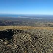
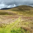
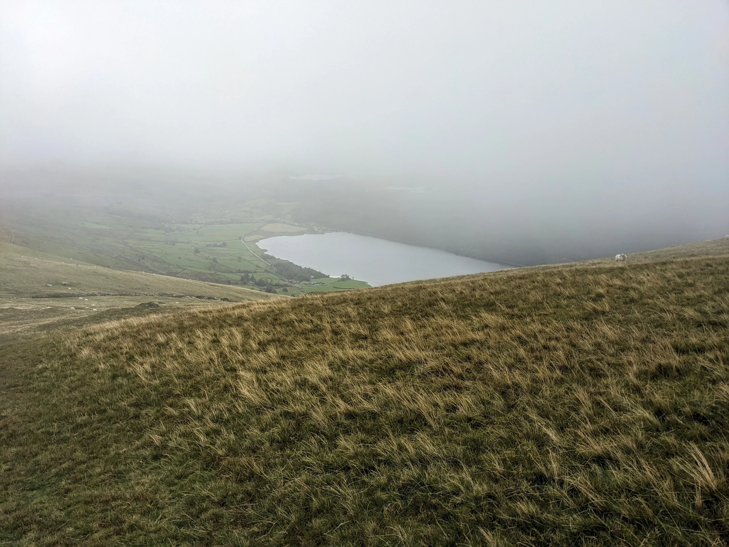
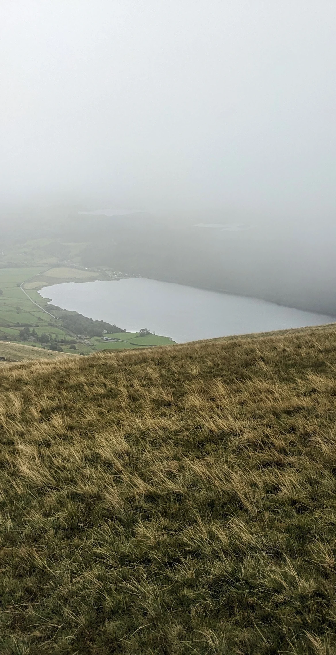
Just 1.0 km from Moel Eilio, Foel Gron (629 m) is a peak on the Moel Eilio ridge, used as a hikers' route from Llanberis to the summit of Snowdon. Its highest point is the eastmost grassy knoll, near a fence corner. Moel Cynghorion is 2.6 km away and Mynydd Mawr 3.0 km.
New to the Pennants?Read our guide: What Are The Welsh Pennants?Summit Weather
Our Route
Distance8.1 mi13.0 km
Ascent880 m2,890 ft
Time4h 35mwalking
Start & FinishSH 5671 5948Circular route, back to the same spot
DirectionsAlso on this route: Moel Eilio, Moel Cynghorion
Safety: Routes are a guide only. Carry a map and compass and know how to use them, check the weather before you go, and turn back if in doubt. You use this route at your own risk.