


Hill data: The Database of British and Irish Hills v18.6 (CC BY 4.0)Height726 m2,382 ft
Grid RefSH 55581 57718
OS MapOL17OS Explorer
AreaSnowdon
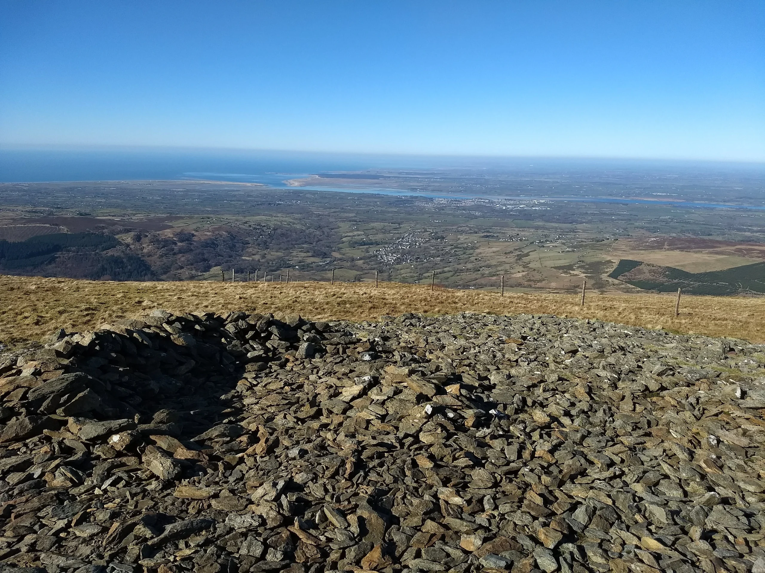
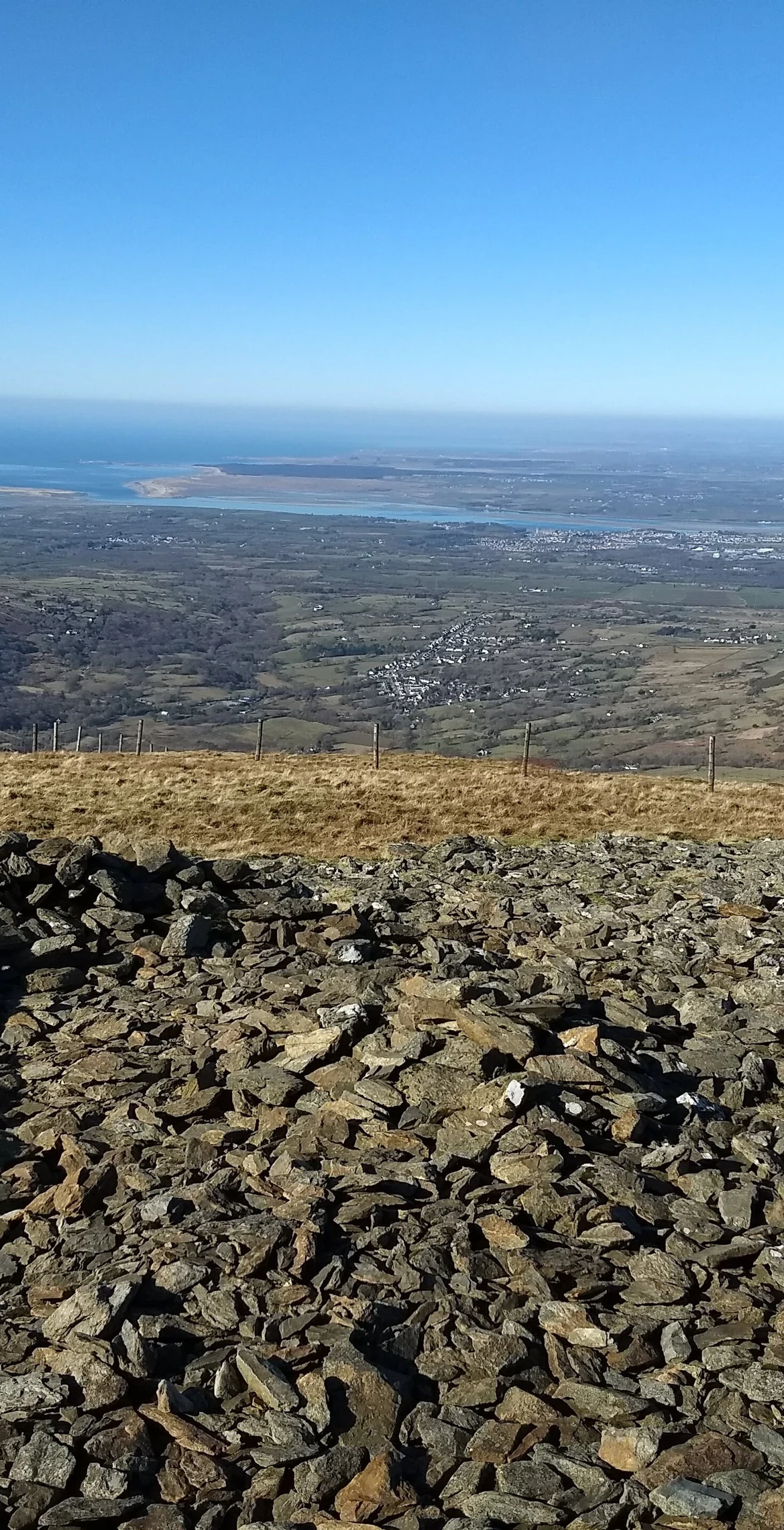
About 3 miles north-west of Snowdon, Moel Eilio (726 m) heads a curved ridge with Foel Gron, Foel Goch and Moel Cynghorion that tracks south-west towards Snowdon and gives a less common way up it. A popular ascent starts from Llanberis by way of Bwlch y Groes and the north ridge. There is a windshelter on top, and the small lake Llyn Dwythwch lies below the summit.
New to the Pennants?Read our guide: What Are The Welsh Pennants?Rock & Ground
Relatively flat, grassy slopes, on which significant snow can build up in winter.
Summit Weather
Our Route
Distance8.1 mi13.0 km
Ascent880 m2,890 ft
Time4h 35mwalking
Start & FinishSH 5671 5948Circular route, back to the same spot
DirectionsAlso on this route: Moel Cynghorion, Foel Gron
Safety: Routes are a guide only. Carry a map and compass and know how to use them, check the weather before you go, and turn back if in doubt. You use this route at your own risk.