


Hill data: The Database of British and Irish Hills v18.6 (CC BY 4.0)Height616 m2,021 ft
Grid RefSN 74042 17930
OS MapOL12OS Explorer
AreaBrecon Beacons
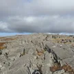
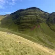
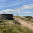
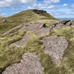
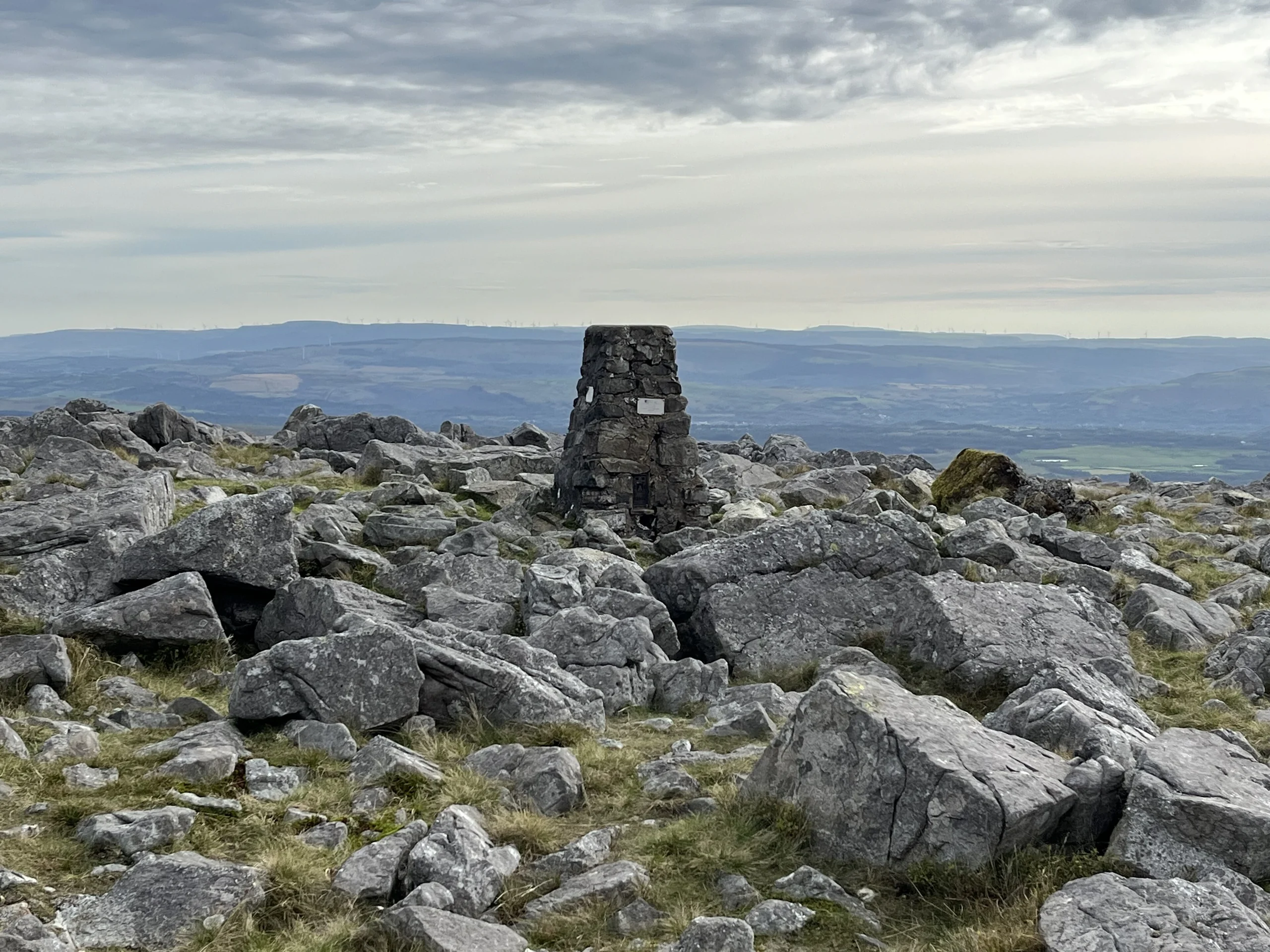
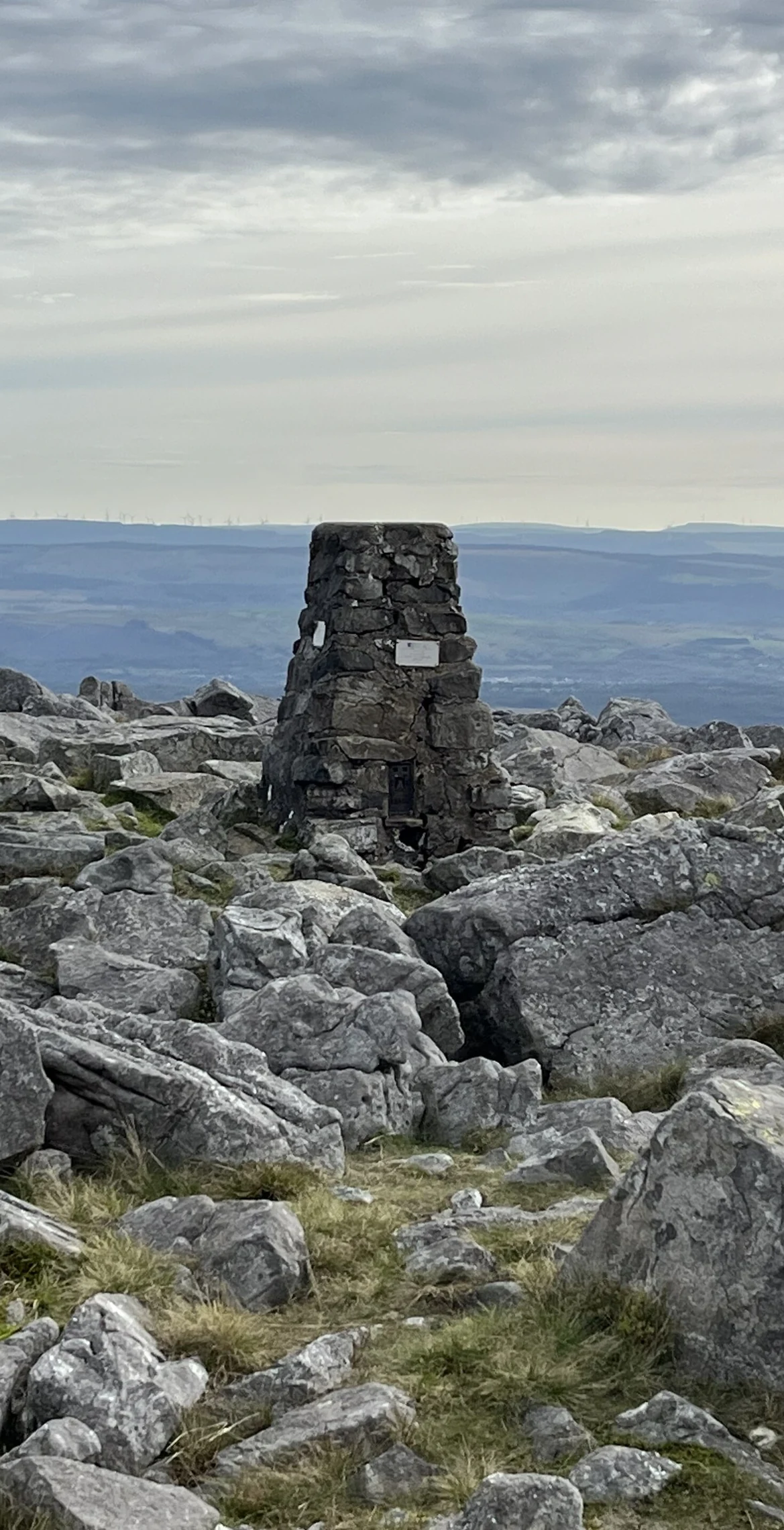
No marked path crosses Garreg Lwyd, also known as Moel Gornach, but it can be climbed from the car parks on the A4069 between Brynamman and Llangadog. A subsidiary summit of Fan Brycheiniog in the Black Mountain, it reaches 616 m and is the westernmost ground in South Wales above 2,000 feet. An ancient cairn with a trig point marks the top.
New to the Pennants?Read our guide: What Are The Welsh Pennants?Summit Weather
Our Route
Distance2.3 mi3.7 km
Ascent170 m560 ft
Time1h 15mwalking
StartSN 7305 1922Grid reference of the start
DirectionsSafety: Routes are a guide only. Carry a map and compass and know how to use them, check the weather before you go, and turn back if in doubt. You use this route at your own risk.