


Hill data: The Database of British and Irish Hills v18.6 (CC BY 4.0)Height805 m2,641 ft
Grid RefSH 67784 58219
OS MapOL17OS Explorer
AreaThe Glyders
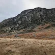
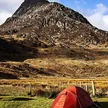
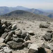
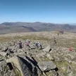
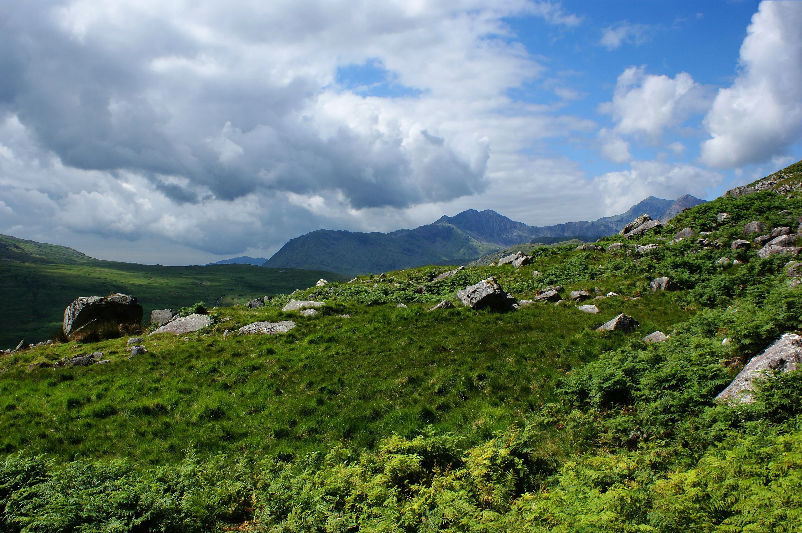
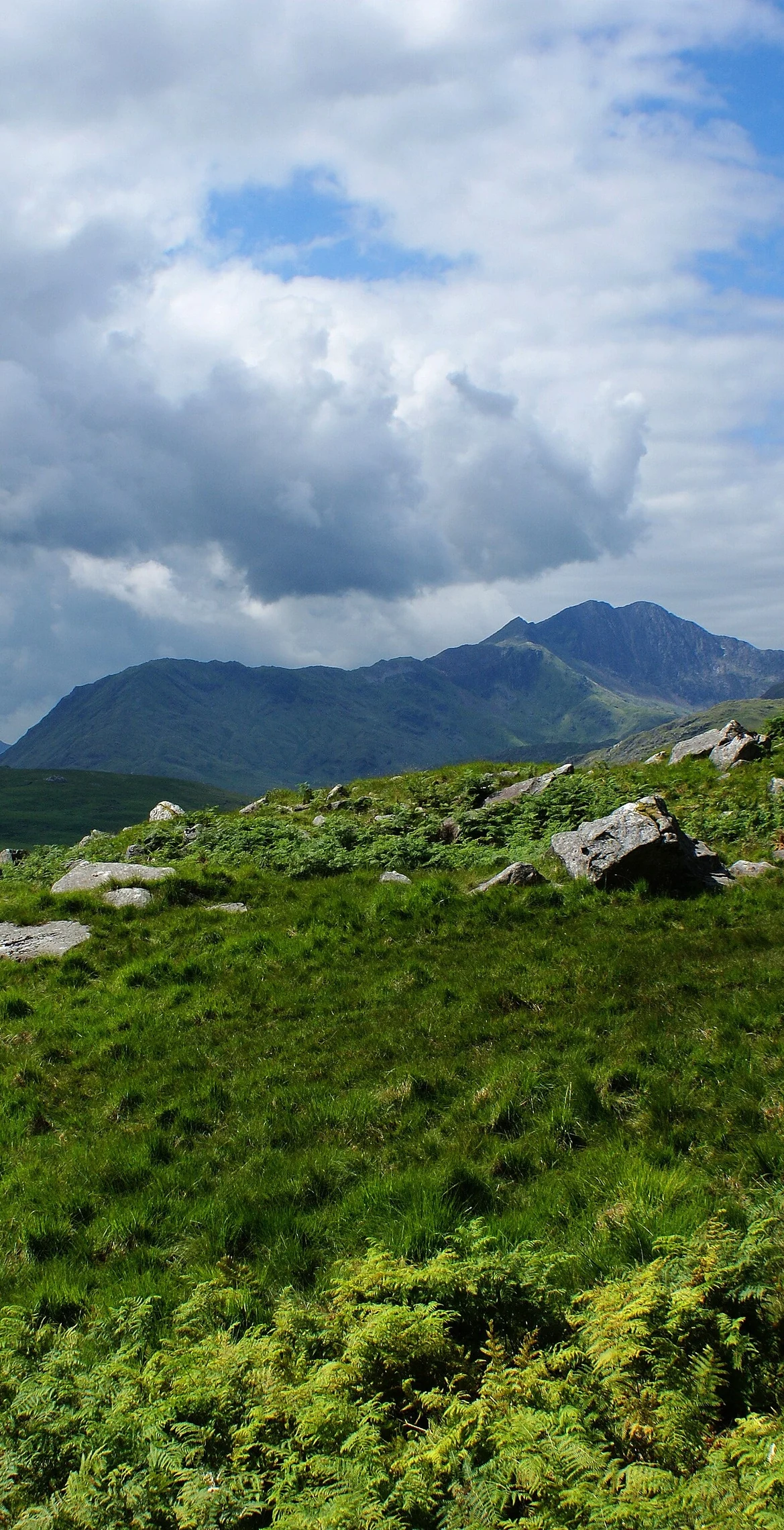
Grassy, with a few small rock outcrops and a small cairn, the 805 m top of Y Foel Goch sits on the ridge between Glyder Fach and Gallt yr Ogof, which is 0.8 km to the east. Llyn Caseg-fraith, between it and Glyder Fach, is a popular spot for photographing Tryfan reflected in the water. Views from the summit are limited to the bulky neighbours of Moel Siabod, Tryfan and Glyder Fach.
New to the Pennants?Read our guide: What Are The Welsh Pennants?Rock & Ground
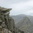
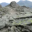
The summit is grassy with a few small rock outcrops.
Summit Weather
Our Route
Distance8.3 mi13.3 km
Ascent1,260 m4,130 ft
Time5h 15mwalking
Start & FinishSH 6593 6019Circular route, back to the same spot
DirectionsAlso on this route: Glyder Fawr, Glyder Fach, Tryfan, Gallt yr Ogof
Safety: Routes are a guide only. Carry a map and compass and know how to use them, check the weather before you go, and turn back if in doubt. You use this route at your own risk.