

Hill data: The Database of British and Irish Hills v18.6 (CC BY 4.0)Height566 m1,857 ft
Grid RefNY 41331 14825
OS MapOL5OS Explorer
BookFar Eastern FellsBook 2
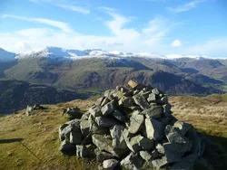
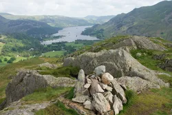
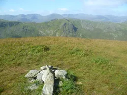
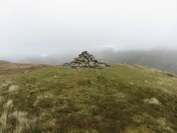
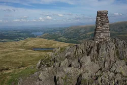
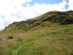
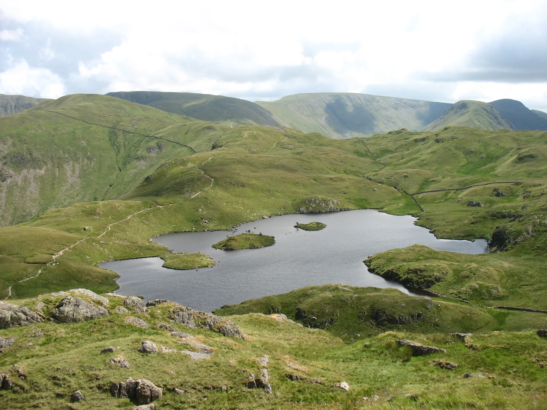
Angletarn Pikes takes its name from the two rocky towers on its top, a couple of hundred metres apart with peaty bog between them; the northern one is the higher. Just to the south lies Angle Tarn, with an island in the middle, which Wainwright counted among the best tarns in Lakeland. From the summit rocks the view stretches across Martindale and along the full length of the Helvellyn range.
New to the Wainwrights?Read our guide: What Are The Wainwrights?Summit
Rock
Rock & Ground
Two rocky summit towers over crag-pocked flanks, with peaty bog in the dip between them.
Also On These Lists
DeweyBirkettSyngeFellranger
Summit Weather
Our Route
Distance9.3 mi14.9 km
Ascent790 m2,590 ft
Time5hwalking
Start & FinishSeasonal Car park car parkNY 3902 1607 · circular route
DirectionsAlso on this route: Place Fell, Brock Crags
Safety: Routes are a guide only. Carry a map and compass and know how to use them, check the weather before you go, and turn back if in doubt. You use this route at your own risk.