

Hill data: The Database of British and Irish Hills v18.6 (CC BY 4.0)Height509 m1,670 ft
Grid RefNY 42888 17162
OS MapOL5OS Explorer
BookFar Eastern FellsBook 2
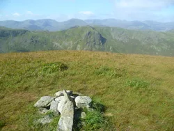
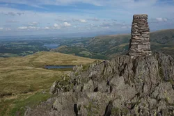
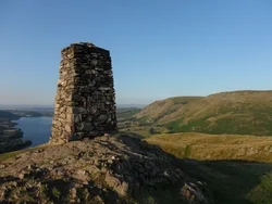
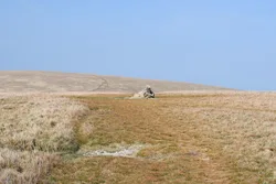
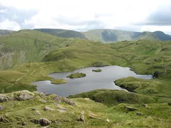
Beda Fell is the long ridge in the Martindale fells south of Ullswater that splits the quiet valleys of Boredale and Bannerdale, and an old bridleway from Patterdale crosses it near Bedafell Knott. Its highest point, Beda Head, is a grassy mound with a cairn. The broad top hides much of the valleys below, but Ullswater shows on either side of Hallin Fell.
New to the Wainwrights?Read our guide: What Are The Wainwrights?Summit
Cairn
Rock & Ground
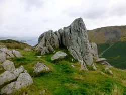
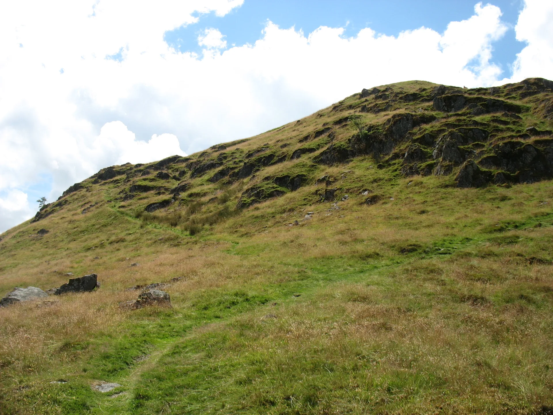
Grassy ridge top with steep flanks broken by many crags, such as Brock Crag and Winter Crag.
Also On These Lists
DeweyBirkettSyngeFellranger
Summit Weather
Our Route
Distance4.3 mi6.9 km
Ascent470 m1,540 ft
Time2h 30mwalking
Start & FinishRoadside parkingNY 4358 1920 · circular route
DirectionsAlso on this route: Hallin Fell
Safety: Routes are a guide only. Carry a map and compass and know how to use them, check the weather before you go, and turn back if in doubt. You use this route at your own risk.