


Hill data: The Database of British and Irish Hills v18.6 (CC BY 4.0)Height475 m1,558 ft
Grid RefNY 29583 15739
OS MapOL4OS Explorer
BookCentral FellsBook 3
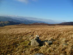
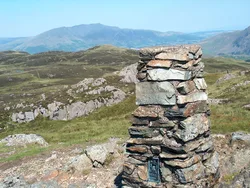
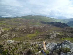
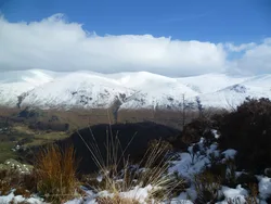
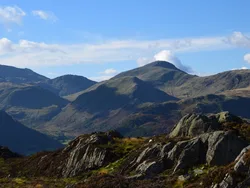
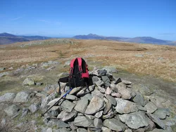
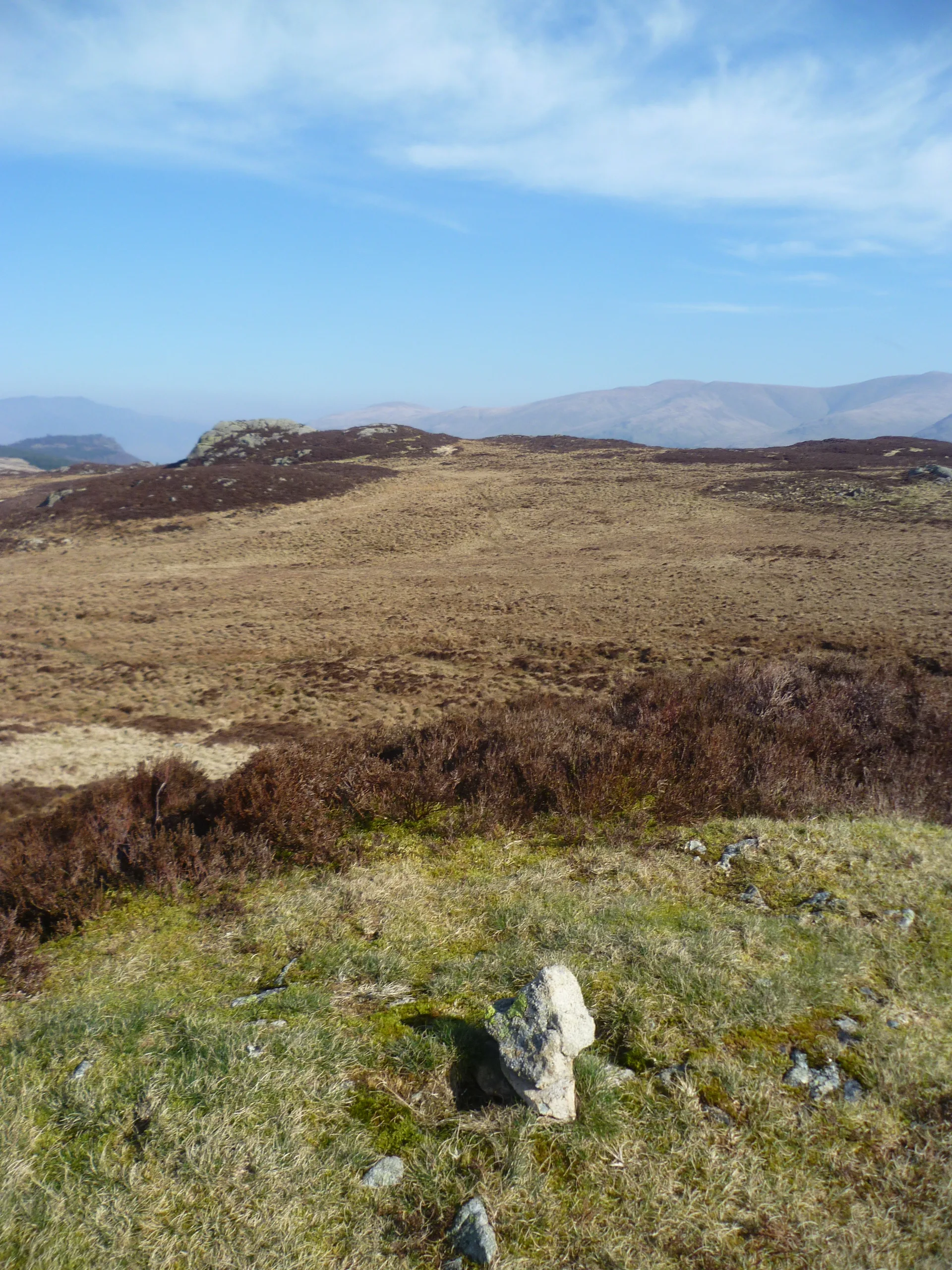
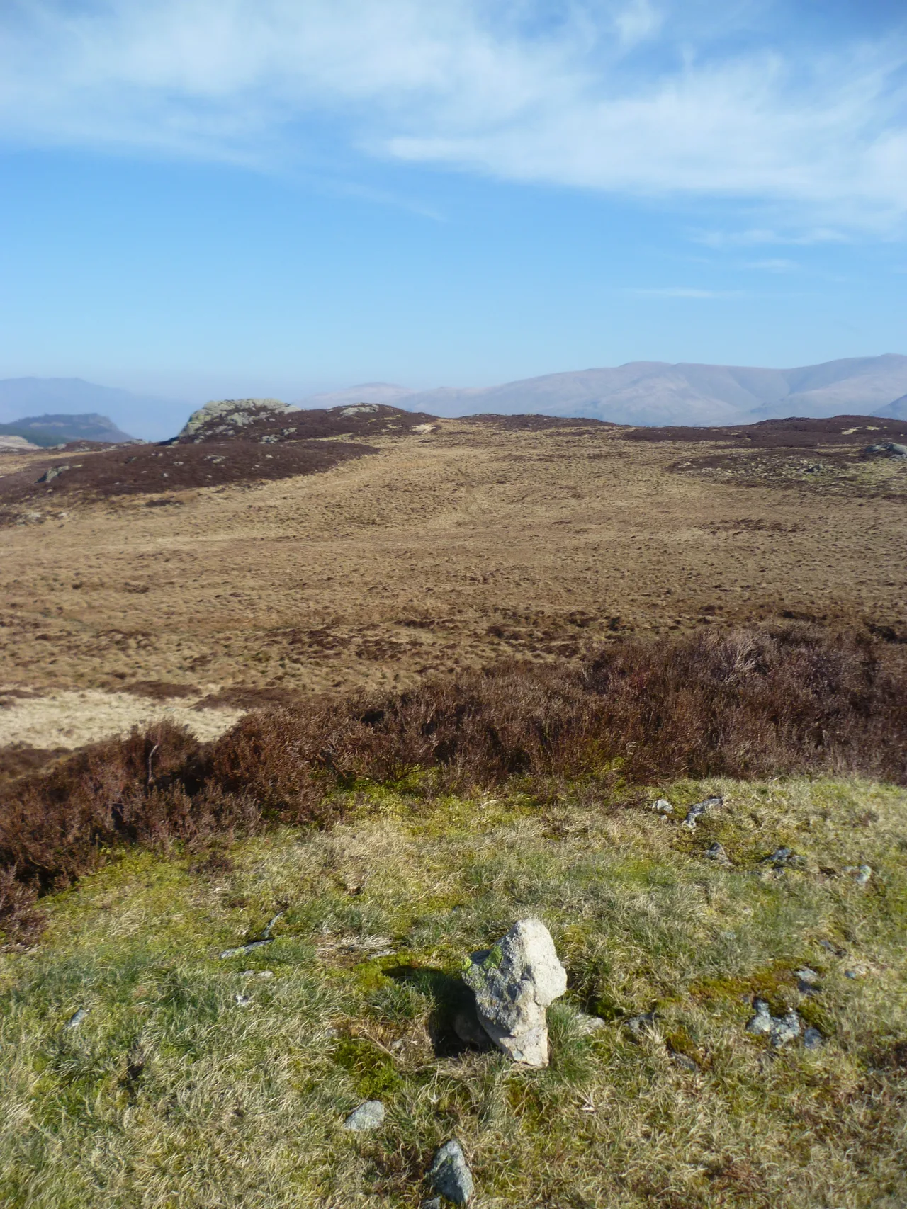
Armboth Fell is named after Armboth, a settlement on the Thirlmere shore that was abandoned and flooded when the lake was raised as a reservoir in the 1880s. The fell is a wet, heathery plateau topped by a small rocky mound, and Wainwright, who thought it the centre of Lakeland, still advised walkers to leave it alone. From the summit you look east to the Helvellyn range.
New to the Wainwrights?Read our guide: What Are The Wainwrights?Summit
Rocky mound
Rock & Ground
Andesite lava under glacial till, a boggy dome with plenty of heather.
Also On These Lists
Synge
Summit Weather
Our Route
Distance3.6 mi5.8 km
Ascent320 m1,050 ft
Time2hwalking
Start & FinishRoadside parkingNY 2760 1629 · circular route
DirectionsAlso on this route: High Tove
Safety: Routes are a guide only. Carry a map and compass and know how to use them, check the weather before you go, and turn back if in doubt. You use this route at your own risk.