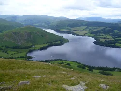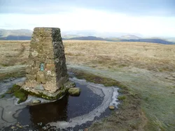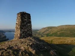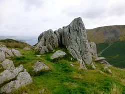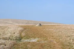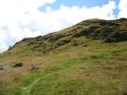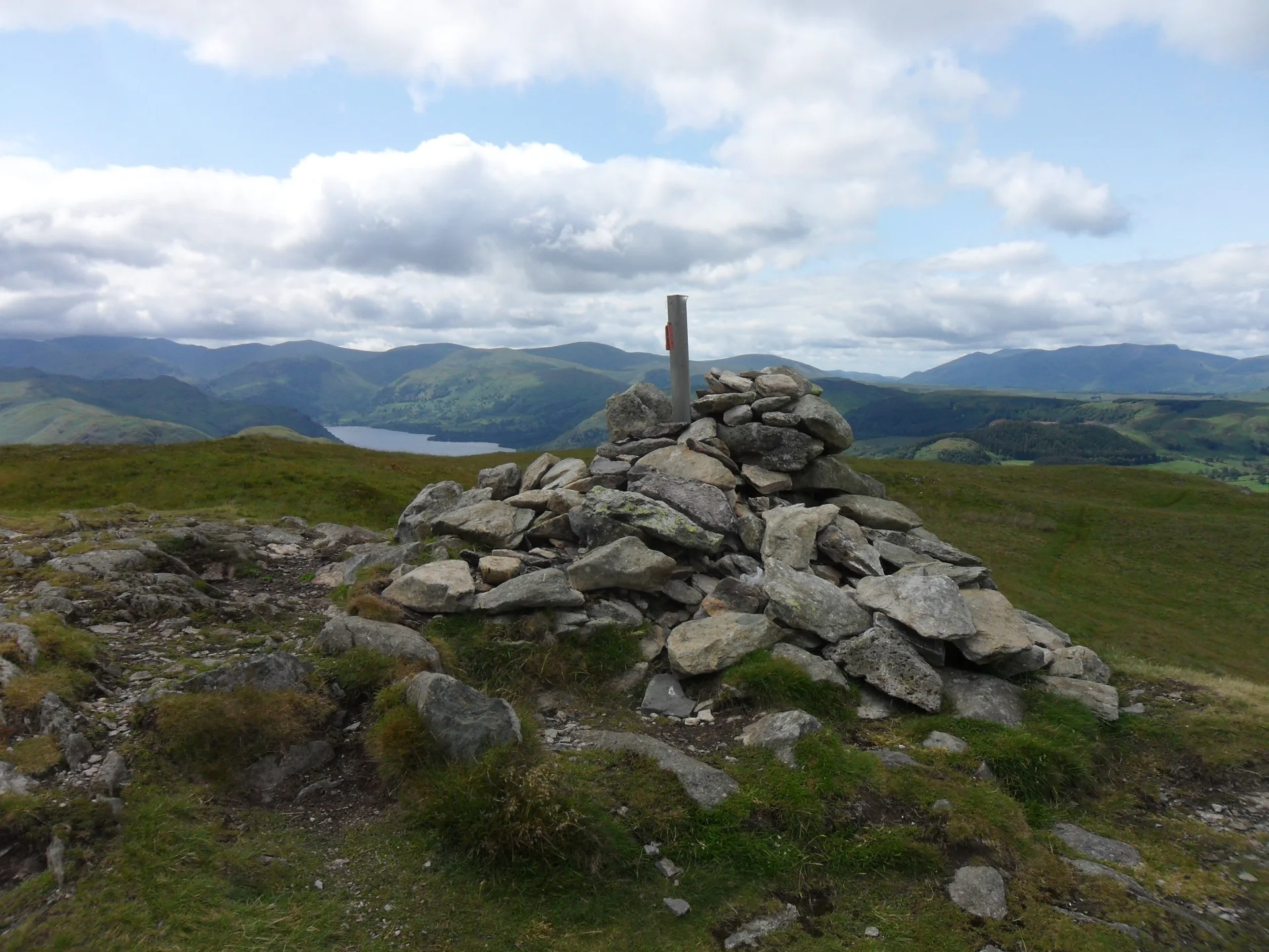


Arthur's Pike rises above the eastern shore of Ullswater, its north-western face falling in tiers of crag to the farmland and the Howtown road. The cairned top sits back from the edge on a grassy plateau, and the remains of a tall stone beacon stand right on the brink of the crags. Swarthbeck Gill separates it from its twin, Bonscale Pike, and the old High Street Roman road passes a little to the south-east.
New to the Wainwrights?Read our guide: What Are The Wainwrights?Cairn
Tiers of crag on the Ullswater side, with a grassy plateau and marshy ground behind.
BirkettSyngeFellranger
Summit Weather
Our Route
Also on this route: Loadpot Hill, Wether Hill, Bonscale Pike, Steel Knotts
Safety: Routes are a guide only. Carry a map and compass and know how to use them, check the weather before you go, and turn back if in doubt. You use this route at your own risk.