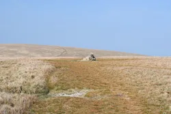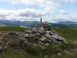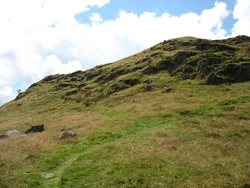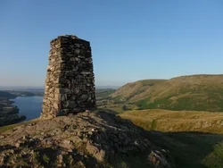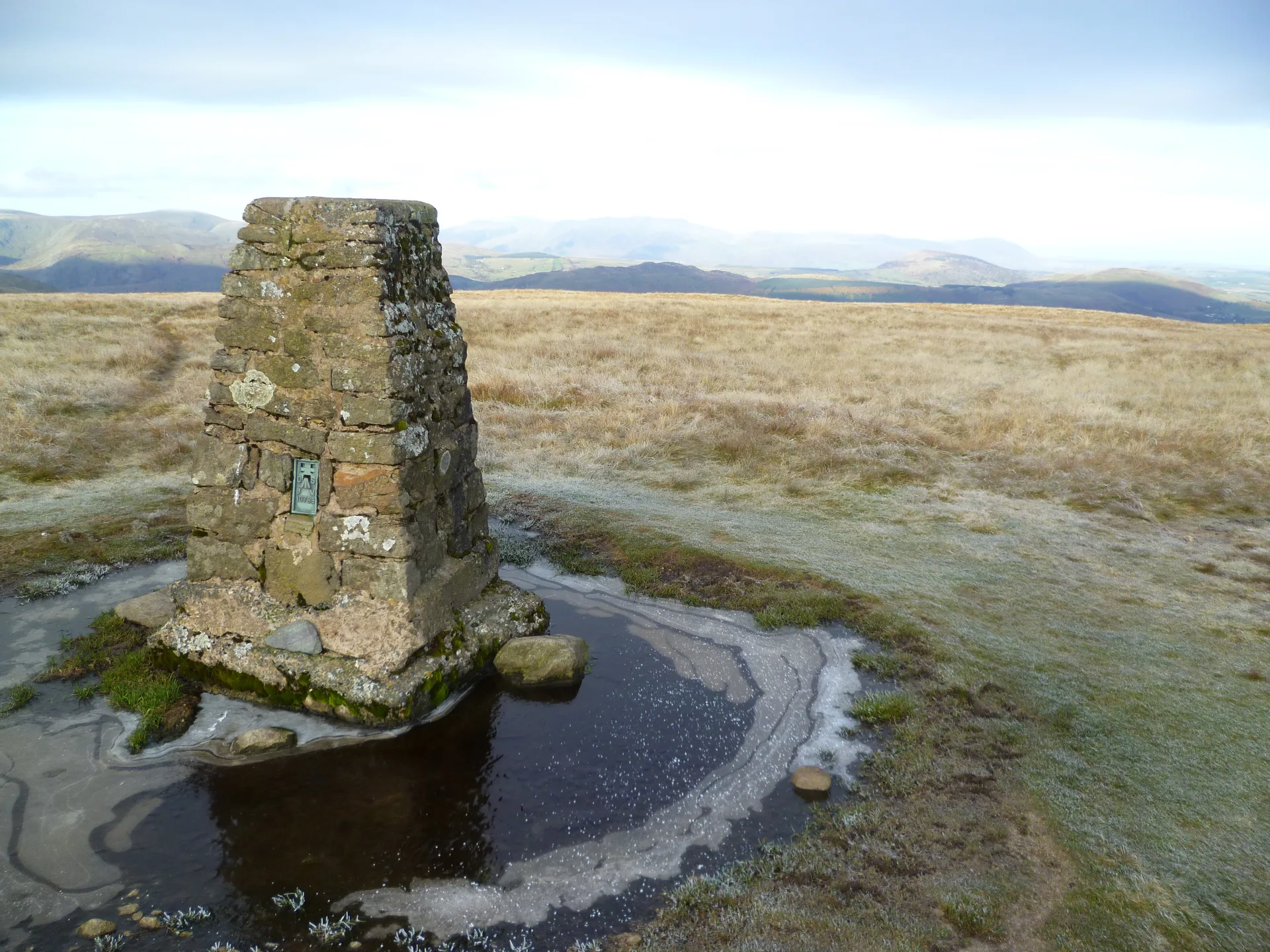


Loadpot Hill is a broad, rounded top on the long ridge running north from High Street towards Pooley Bridge. The highest ground has no marker, a little south-west of the trig point, and there's an old boundary stone nearby. Just to the south, a heap of stones is all that's left of the chimney of Lowther House, a former shooting lodge. The Roman road over High Street swings round the summit, and to the north Moor Divock is scattered with prehistoric cairns and stone circles.
New to the Wainwrights?Read our guide: What Are The Wainwrights?No marker: ground 80 m south-west of trig point
Broad dome of heather and fell grass, with peat hags on the ridge south to Wether Hill.
HewittNuttallBirkettSyngeFellrangerSimm
Summit Weather
Our Route
Also on this route: Wether Hill, Arthur's Pike, Bonscale Pike, Steel Knotts
Safety: Routes are a guide only. Carry a map and compass and know how to use them, check the weather before you go, and turn back if in doubt. You use this route at your own risk.