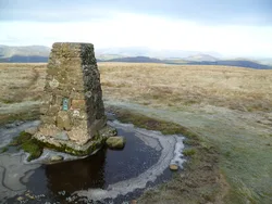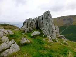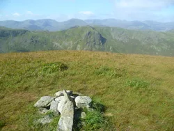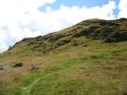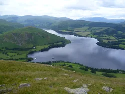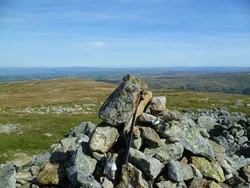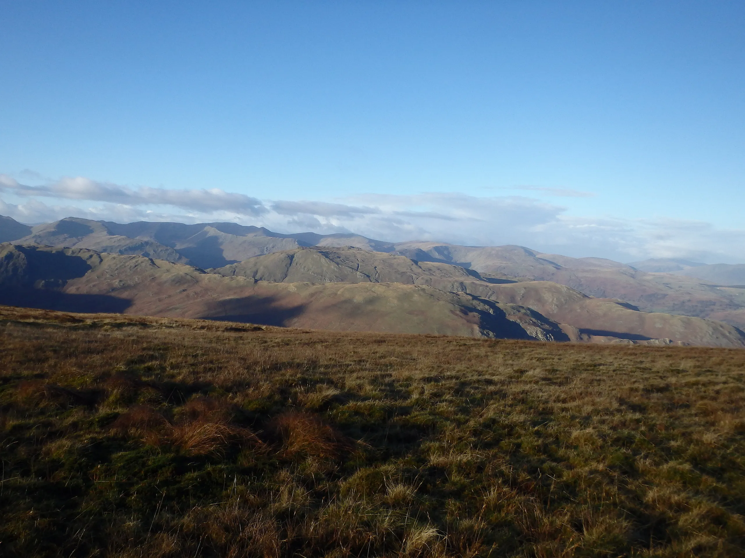

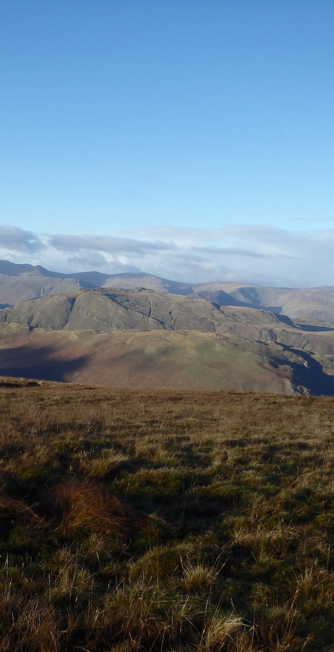


Wether Hill is a quiet, grassy stretch of the ridge between Loadpot Hill and High Raise, with two tops of similar height. The highest point is rough grass with no marker, and the traditional summit cairn is a few metres away. The Roman road called High Street runs along the ridge, just missing both tops. To the west the fell drops steeply into Rampsgill, and there are good views across to the Helvellyn range and east to the Pennines.
New to the Wainwrights?Read our guide: What Are The Wainwrights?No marker: rough grass
Rough grassy ridge with peaty patches, falling steeply west into Rampsgill.
BirkettSyngeFellranger
Summit Weather
Our Route
Also on this route: Loadpot Hill, Arthur's Pike, Bonscale Pike, Steel Knotts
Safety: Routes are a guide only. Carry a map and compass and know how to use them, check the weather before you go, and turn back if in doubt. You use this route at your own risk.