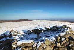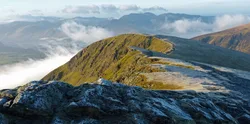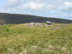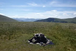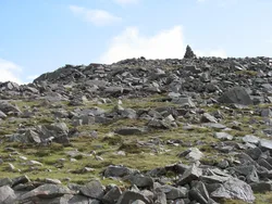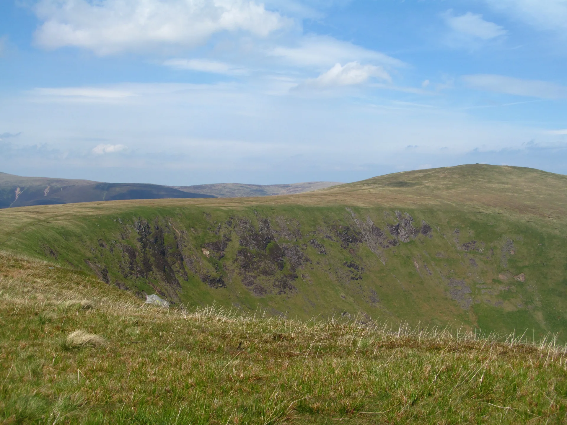


Bannerdale Crags is named after the long line of cliffs on its north-eastern side, which run for more than a kilometre above the valley of Bannerdale. Behind the edge the top is smooth grass, with the highest point marked by a pile of stones and a shepherds' shelter nearer the crags. Lead was mined at the foot of the cliffs in the later 1800s. The east ridge climbs through the crags almost to the top, and the summit gives a fine view of Blencathra's Sharp Edge.
New to the Wainwrights?Read our guide: What Are The Wainwrights?Rock 3 m north-east of pile of stones
Skiddaw Group mudstone and siltstone, with a long crag face on the north-east and grassy slopes elsewhere.
HewittNuttallBirkettSyngeFellrangerSimm
Summit Weather
Our Route
Also on this route: Blencathra, Bowscale Fell, Mungrisdale Common, Souther Fell
Safety: Routes are a guide only. Carry a map and compass and know how to use them, check the weather before you go, and turn back if in doubt. You use this route at your own risk.