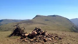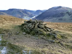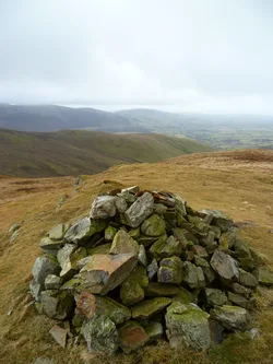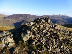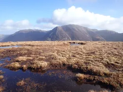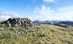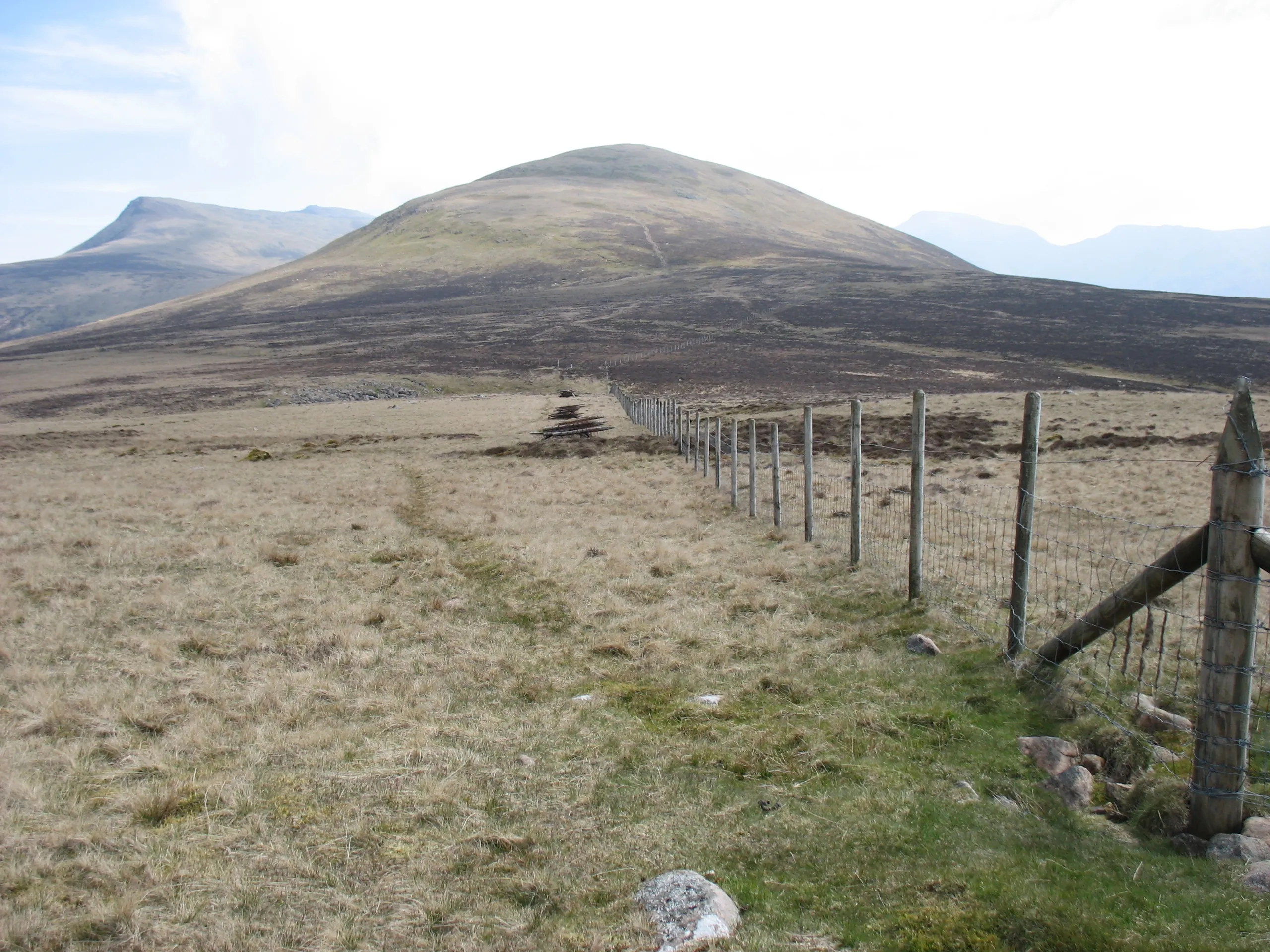

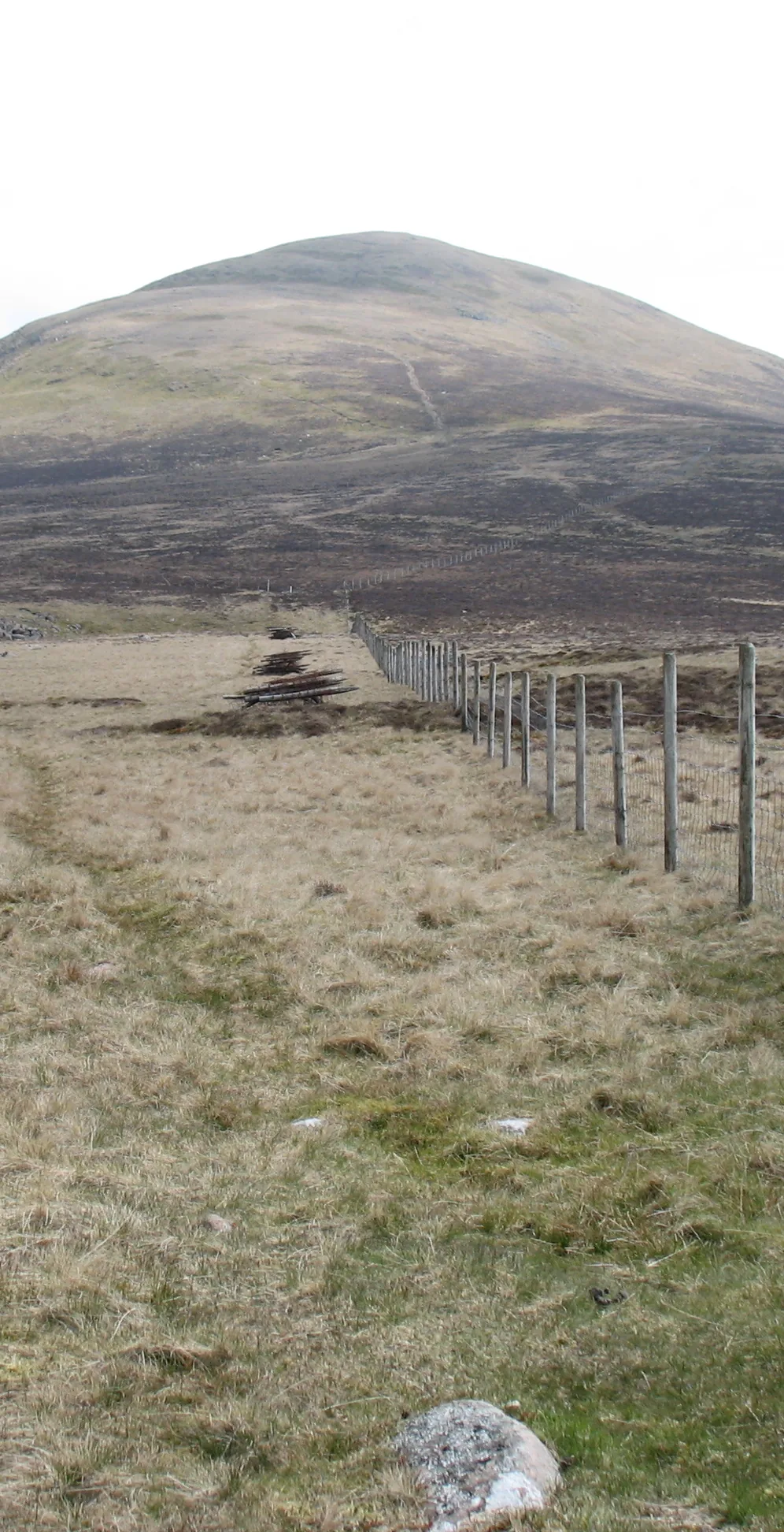


Great Borne guards the western end of the ridge between Ennerdale and Buttermere, and most West Cumbrians know it as Herdus. Its south top carries a trig point and a sizeable windshelter, with the true high point on a rock just beyond them, while a big cairn on the north top may be the boundary marker behind the name. The name is thought to mean 'great boundary', as the fell marked the edge of Loweswater forest in the 13th century, though 'great stream' has also been suggested.
New to the Wainwrights?Read our guide: What Are The Wainwrights?Rock
Pink granophyre crags and scree on the south side, giving the slopes a reddish tint.
HewittNuttallBirkettSyngeFellrangerHuMPSimm
Summit Weather
Our Route
Also on this route: High Stile, Red Pike (Buttermere), High Crag, Fleetwith Pike, Starling Dodd, Haystacks
Safety: Routes are a guide only. Carry a map and compass and know how to use them, check the weather before you go, and turn back if in doubt. You use this route at your own risk.