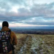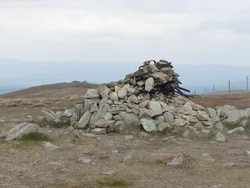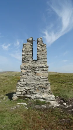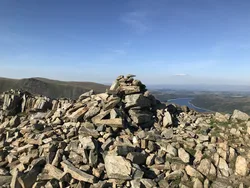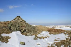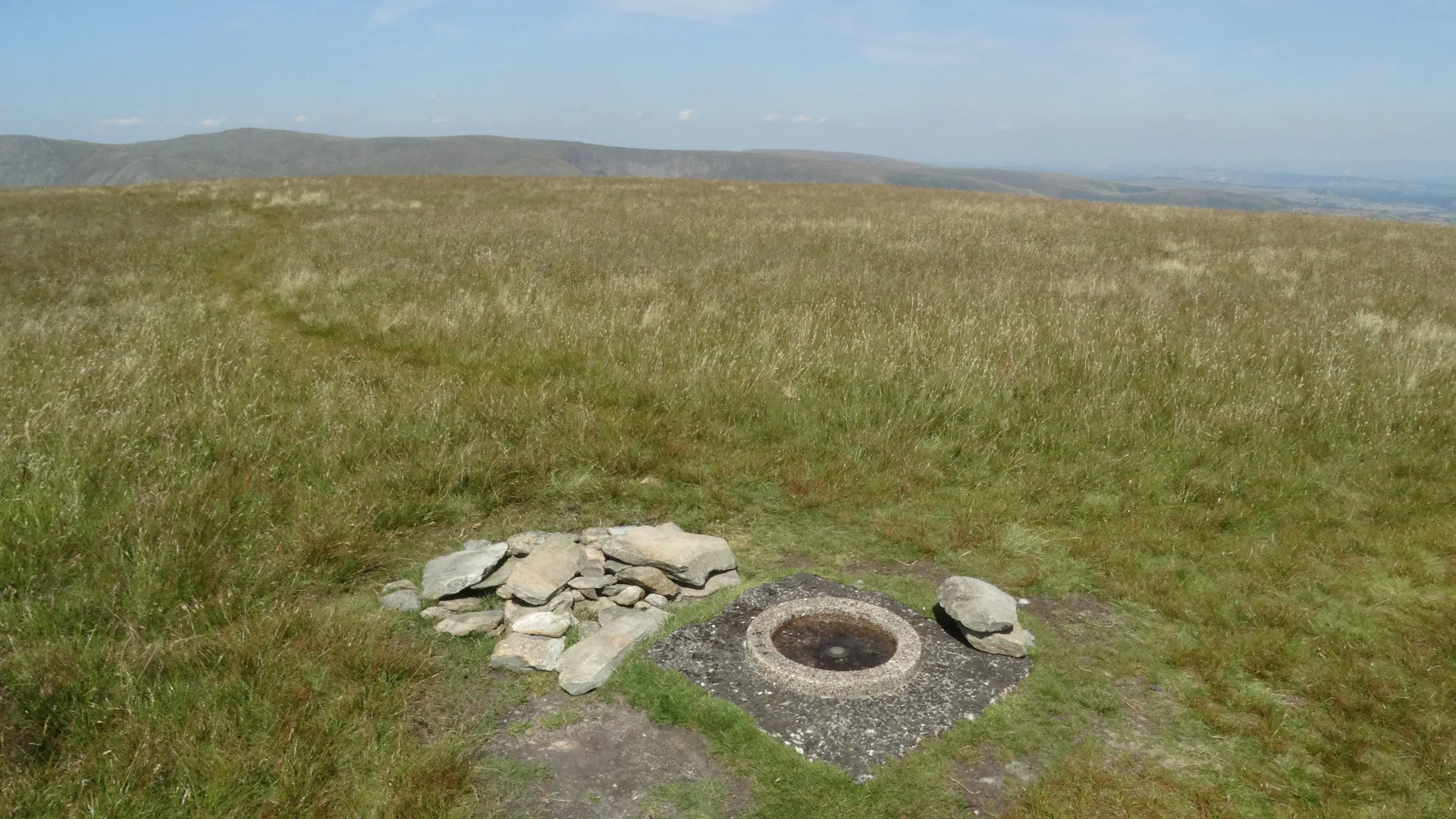


Branstree is a broad, grassy dome above Haweswater, and its highest point is open ground near the end of a wall, just higher than a circular Ordnance Survey station nearby. The name is thought to come from 'Brant Street', meaning a steep path. In the dip towards High Howes stands one of four stone survey pillars built in the 1930s to set out the Haweswater aqueduct, whose tunnel runs about 400 metres below the fell.
New to the Wainwrights?Read our guide: What Are The Wainwrights?Ground 80 m north-west of end of wall
Rounded grassy slopes with flaky rock outcrops; boggy moorland stretches east towards Swindale.
HewittNuttallBirkettSyngeFellrangerHuMPSimm
Summit Weather
Our Route
Also on this route: Selside Pike
Safety: Routes are a guide only. Carry a map and compass and know how to use them, check the weather before you go, and turn back if in doubt. You use this route at your own risk.