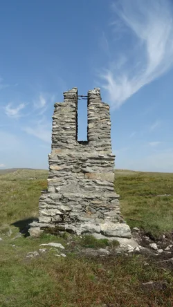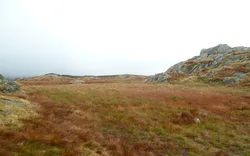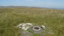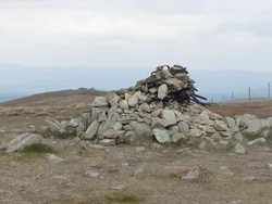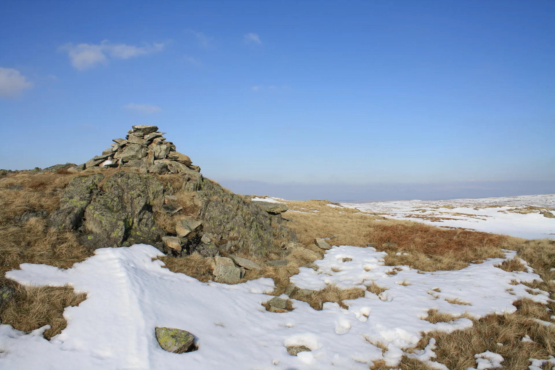


Grey Crag is the south-western end of a short ridge above Longsleddale, and its high point is a rocky outcrop just north of the cairn Wainwright used. To the north, Greycrag Tarn has shrunk to a scatter of small pools in a marshy hollow. Deep beneath the Great Howe spur runs the 1930s Haweswater aqueduct tunnel, and one of the stone survey pillars built for it still stands on the hillside.
New to the Wainwrights?Read our guide: What Are The Wainwrights?Rocky outcrop
Quiet moorland ridges and marshy hollows, with tiers of crags falling into Longsleddale.
HewittNuttallBirkettSyngeFellrangerSimm
Summit Weather
Our Route
Also on this route: Kentmere Pike, Tarn Crag (Sleddale), Shipman Knotts
Safety: Routes are a guide only. Carry a map and compass and know how to use them, check the weather before you go, and turn back if in doubt. You use this route at your own risk.