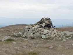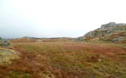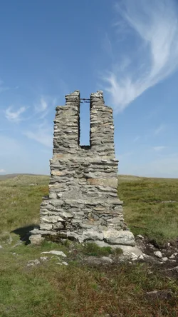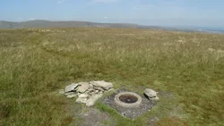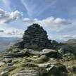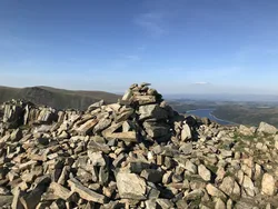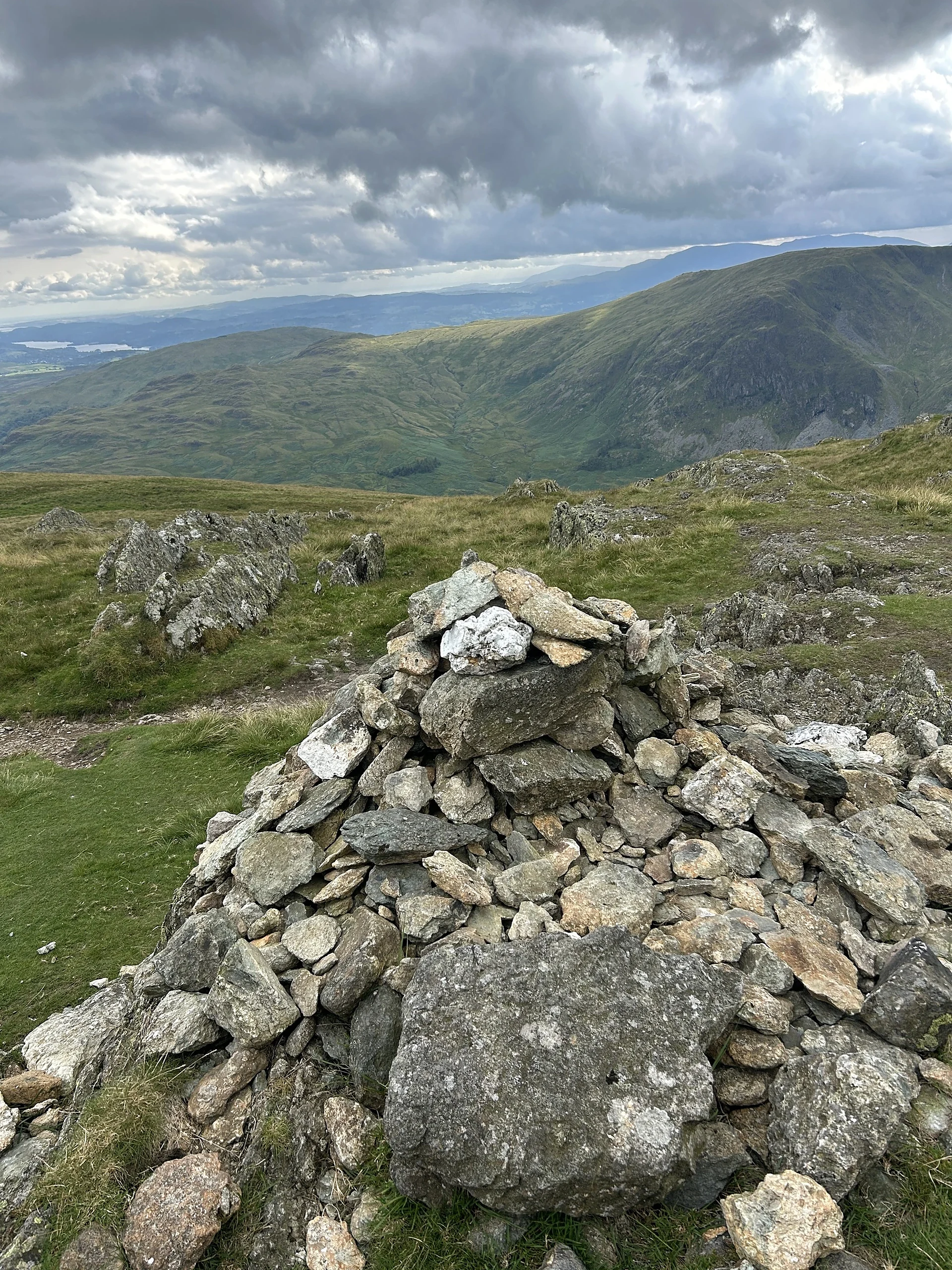

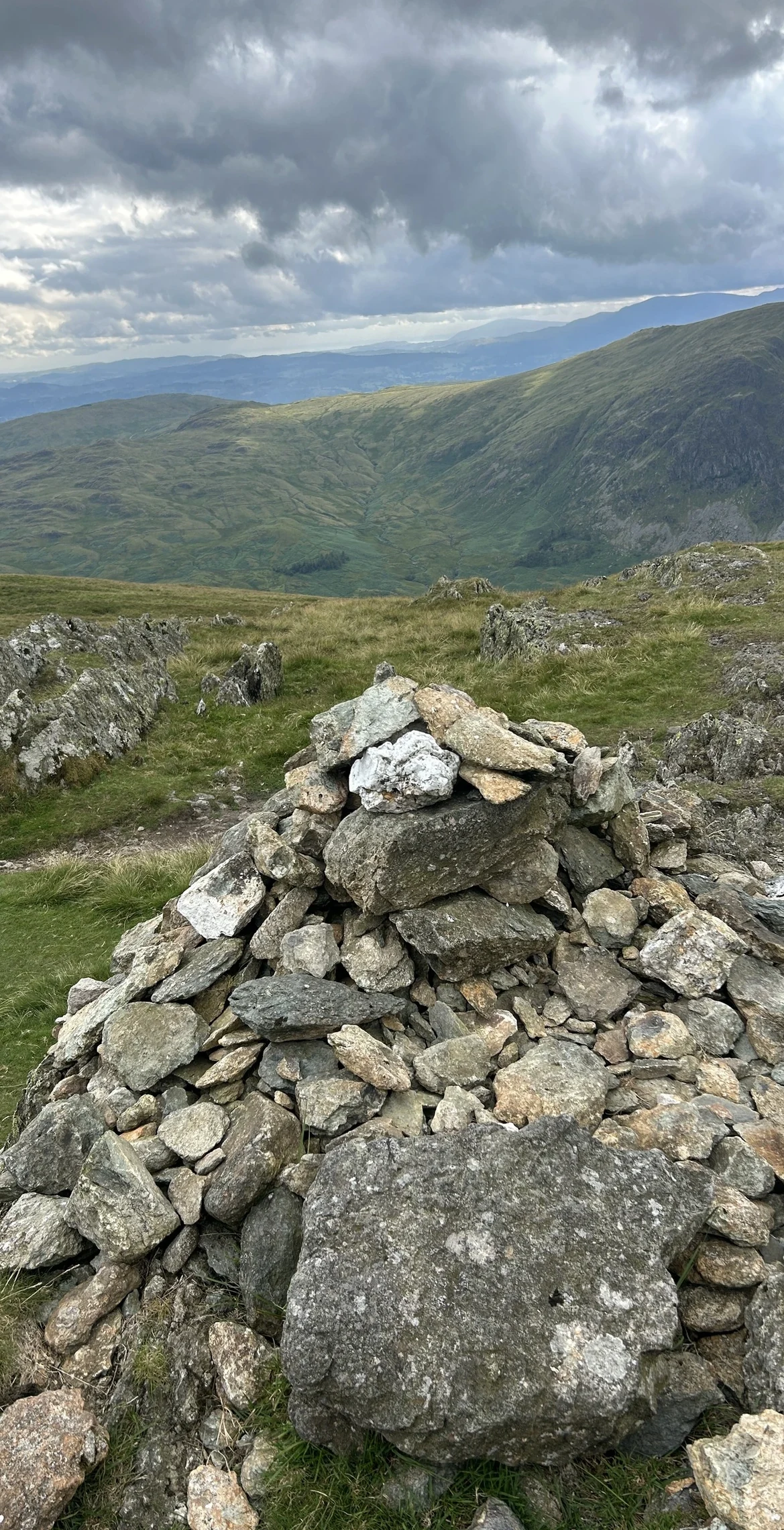


Kentmere Pike is a grassy dome between Kentmere and Longsleddale, with a stone wall along its ridge and an Ordnance Survey trig point just east of the wall. The Longsleddale side is a rim of crags, including Goat Scar, above the narrow upper River Sprint. The western flank shows plenty of old quarrying, and an ancient grooved path climbs from the end of High Lane in Kentmere.
New to the Wainwrights?Read our guide: What Are The Wainwrights?Pointed rock 0.5 m north-west of trig point
Borrowdale volcanic rock; grassy ridge top, with a long rim of crags on the Longsleddale side.
HewittNuttallBirkettSyngeFellrangerSimm
Summit Weather
Our Route
Also on this route: Tarn Crag (Sleddale), Grey Crag, Shipman Knotts
Safety: Routes are a guide only. Carry a map and compass and know how to use them, check the weather before you go, and turn back if in doubt. You use this route at your own risk.