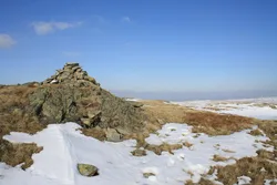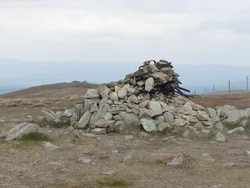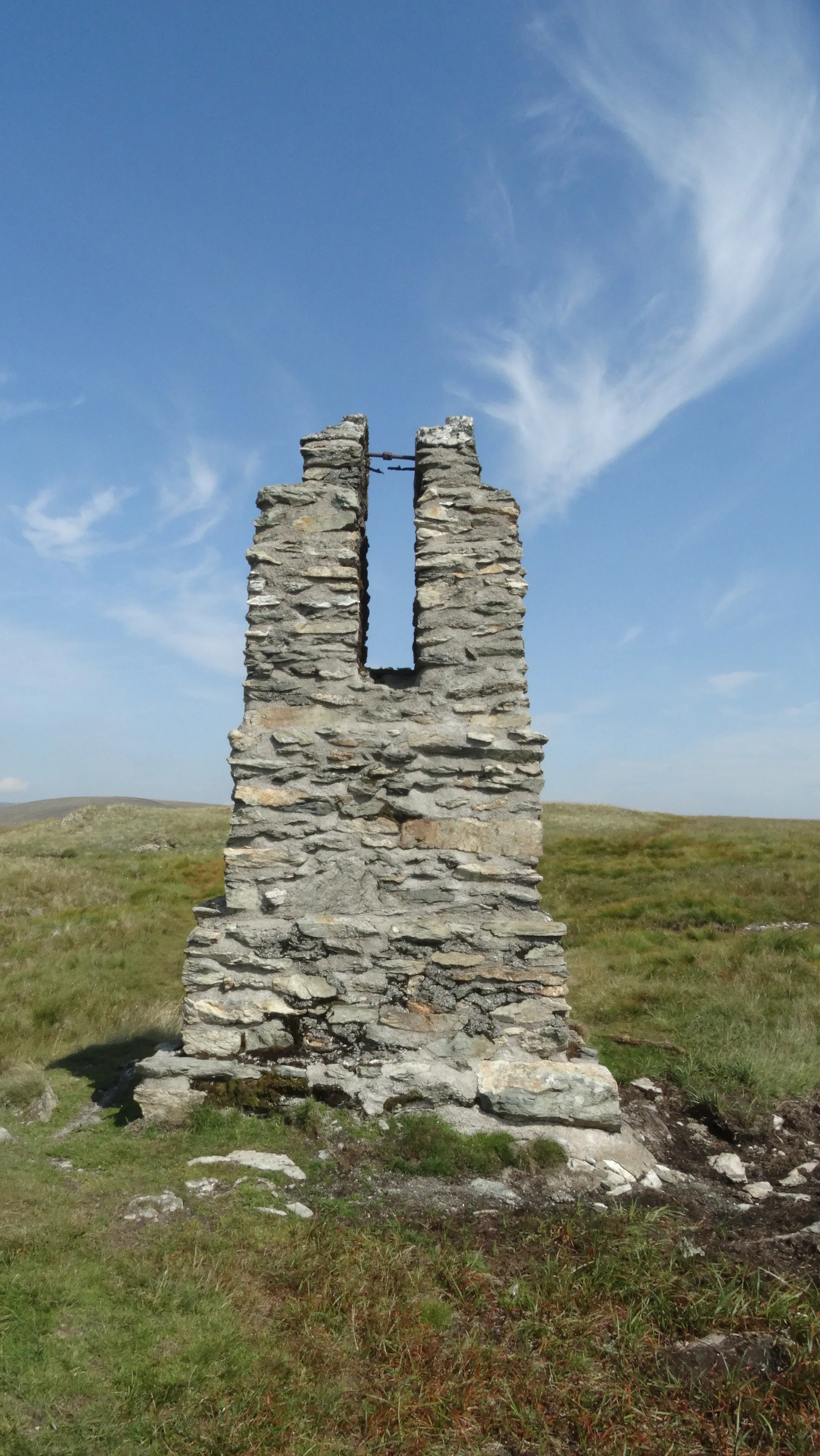

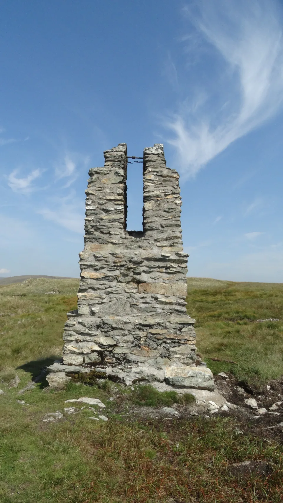


Tarn Crag rises between Longsleddale and Wet Sleddale, and its grassy top is best known for a tall stone and concrete pillar just south of the highest point. It's one of four built to survey the line of the Haweswater aqueduct, which runs in a tunnel deep under the fell. The tunnel was blasted out in the 1930s and comes out in Longsleddale below Great Howe. From the top you can see Morecambe Bay, the Pennines and part of Windermere.
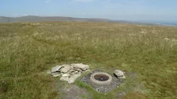
New to the Wainwrights?Read our guide: What Are The Wainwrights?No marker: grassy rise
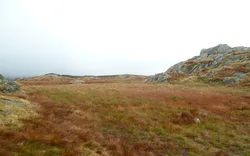
Long, easy slopes of coarse grass and heather, with a rocky western flank and boggy cols.
HewittNuttallBirkettSyngeFellrangerMarilynSimm
Summit Weather
Our Route
Also on this route: Kentmere Pike, Grey Crag, Shipman Knotts
Safety: Routes are a guide only. Carry a map and compass and know how to use them, check the weather before you go, and turn back if in doubt. You use this route at your own risk.