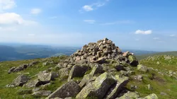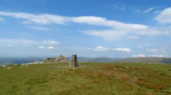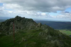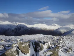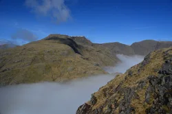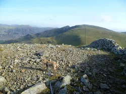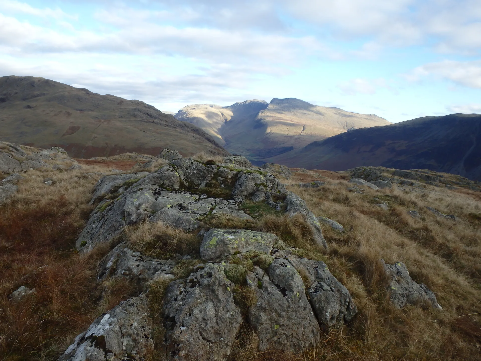


Buckbarrow's name is thought to mean 'hill of the buck or goat', from Old English or Old Norse. It's really the craggy end of Seatallan's southern ridge, and its line of crags, popular with rock climbers, drops steeply to the road near the foot of Wastwater. The cairned top is a little back from the edge, and from the rim of Pike Crag the whole lake, the Screes, Great Gable and the Scafells are in view.
New to the Wainwrights?Read our guide: What Are The Wainwrights?Cairn
Andesite lava with dolerite dykes, forming a long crag face; peat around Glade How behind.
BirkettSyngeFellranger
Summit Weather
Our Route
Also on this route: Seatallan, Illgill Head, Middle Fell, Whin Rigg
Safety: Routes are a guide only. Carry a map and compass and know how to use them, check the weather before you go, and turn back if in doubt. You use this route at your own risk.