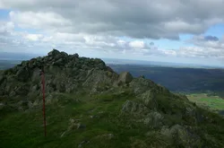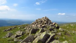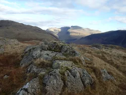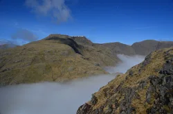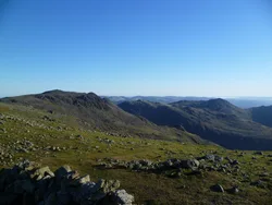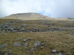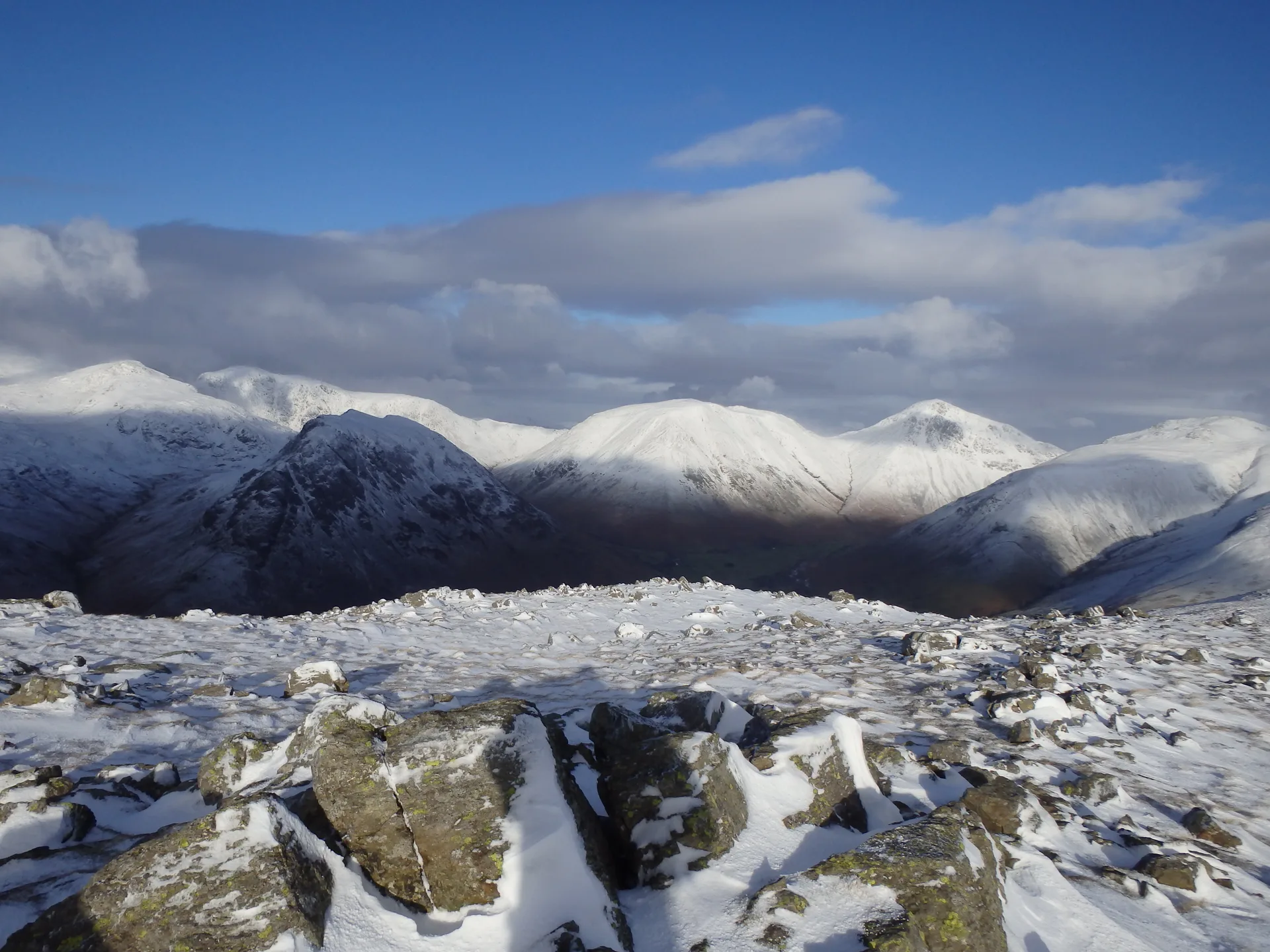


Illgill Head is the top of the Wastwater Screes, the huge slope of broken rock that plunges into England's deepest lake and carries on under the water to 79 m. The summit is a flat, grassy sheepwalk, with the high point on a rock near a windshelter, tilting north-west to the brink of the Screes. Wasdale Head and its ring of high fells are well seen from here, while the gentler back slopes run down through heather and bracken to Burnmoor Tarn.
New to the Wainwrights?Read our guide: What Are The Wainwrights?Rock
Volcanic tuffs and breccias on top, with andesite lava crags above the Screes.
DeweyBirkettSyngeFellrangerMarilynSimm
Summit Weather
Our Route
Also on this route: Seatallan, Middle Fell, Whin Rigg, Buckbarrow
Safety: Routes are a guide only. Carry a map and compass and know how to use them, check the weather before you go, and turn back if in doubt. You use this route at your own risk.