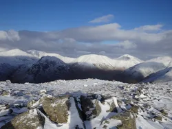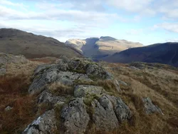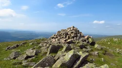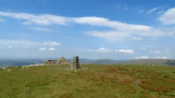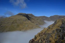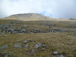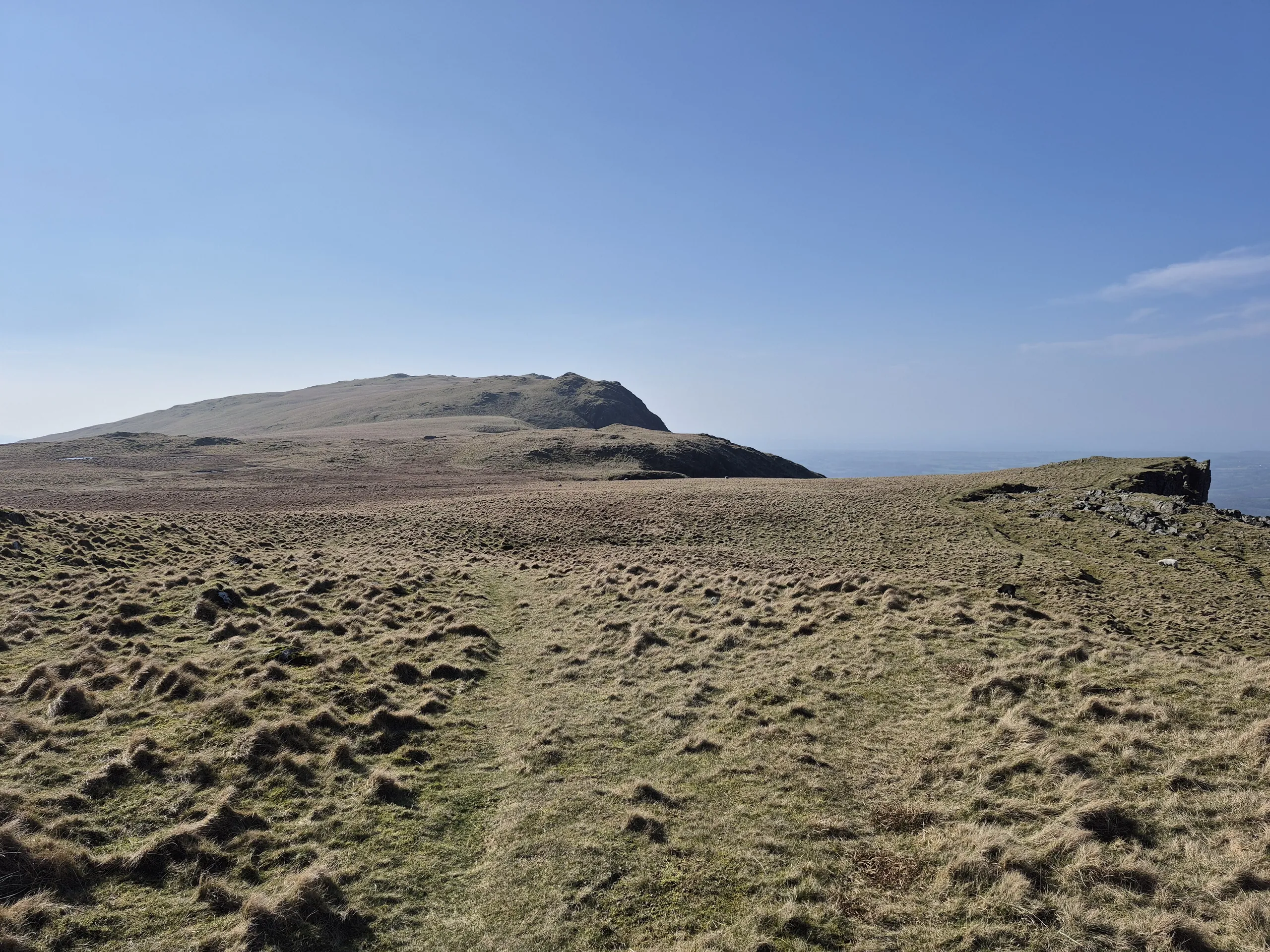

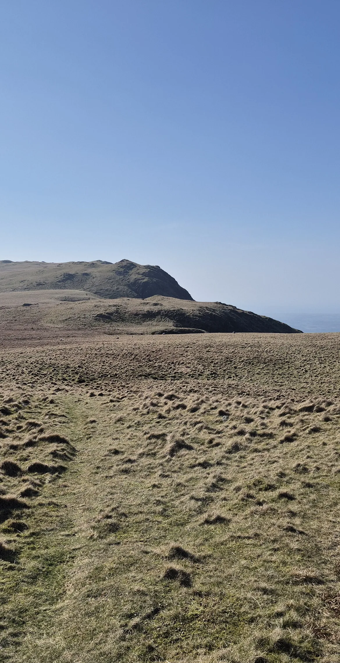


Whin Rigg is the south-western end of the Wastwater Screes, the long wall of crag and stone that drops more than 450 m into the lake and is protected as a Site of Special Scientific Interest. The cairned top looks out over the coastal plain to the Isle of Man, while deep gullies cut the cliffs below; Great Gully still holds the remains of an aeroplane. The name comes from Old Norse and means 'gorse-covered ridge'.
New to the Wainwrights?Read our guide: What Are The Wainwrights?Wainwright/Birkett cairn
Hard Borrowdale volcanic rock cut into gullies, with huge screes falling to Wast Water.
DeweyBirkettSyngeFellranger
Summit Weather
Our Route
Also on this route: Seatallan, Illgill Head, Middle Fell, Buckbarrow
Safety: Routes are a guide only. Carry a map and compass and know how to use them, check the weather before you go, and turn back if in doubt. You use this route at your own risk.