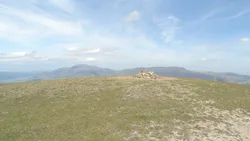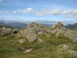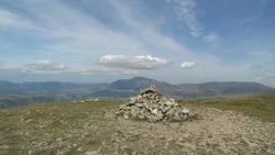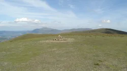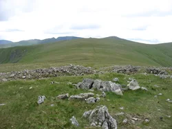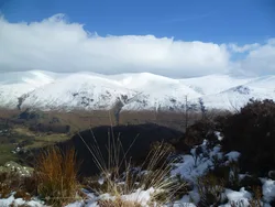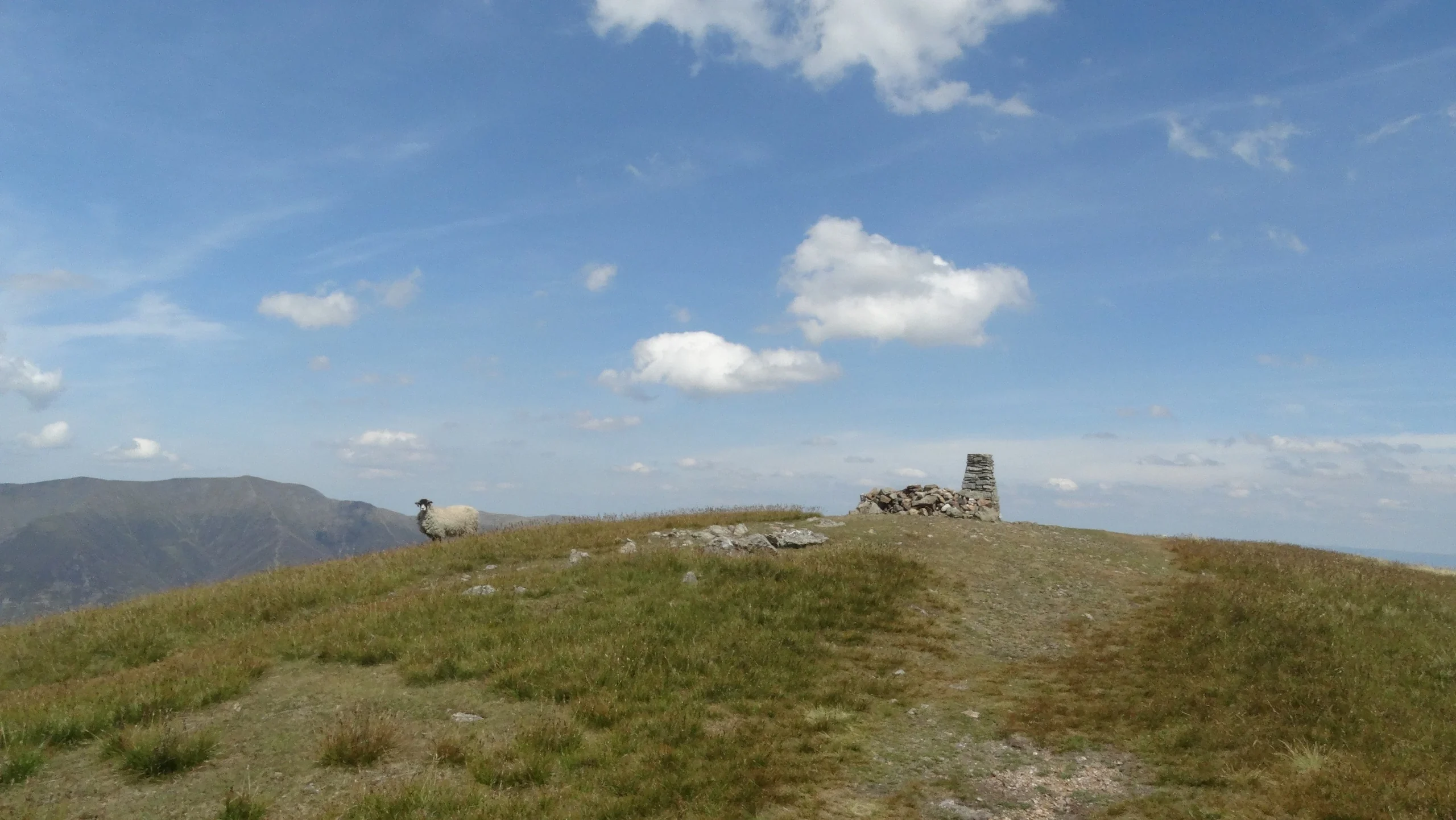

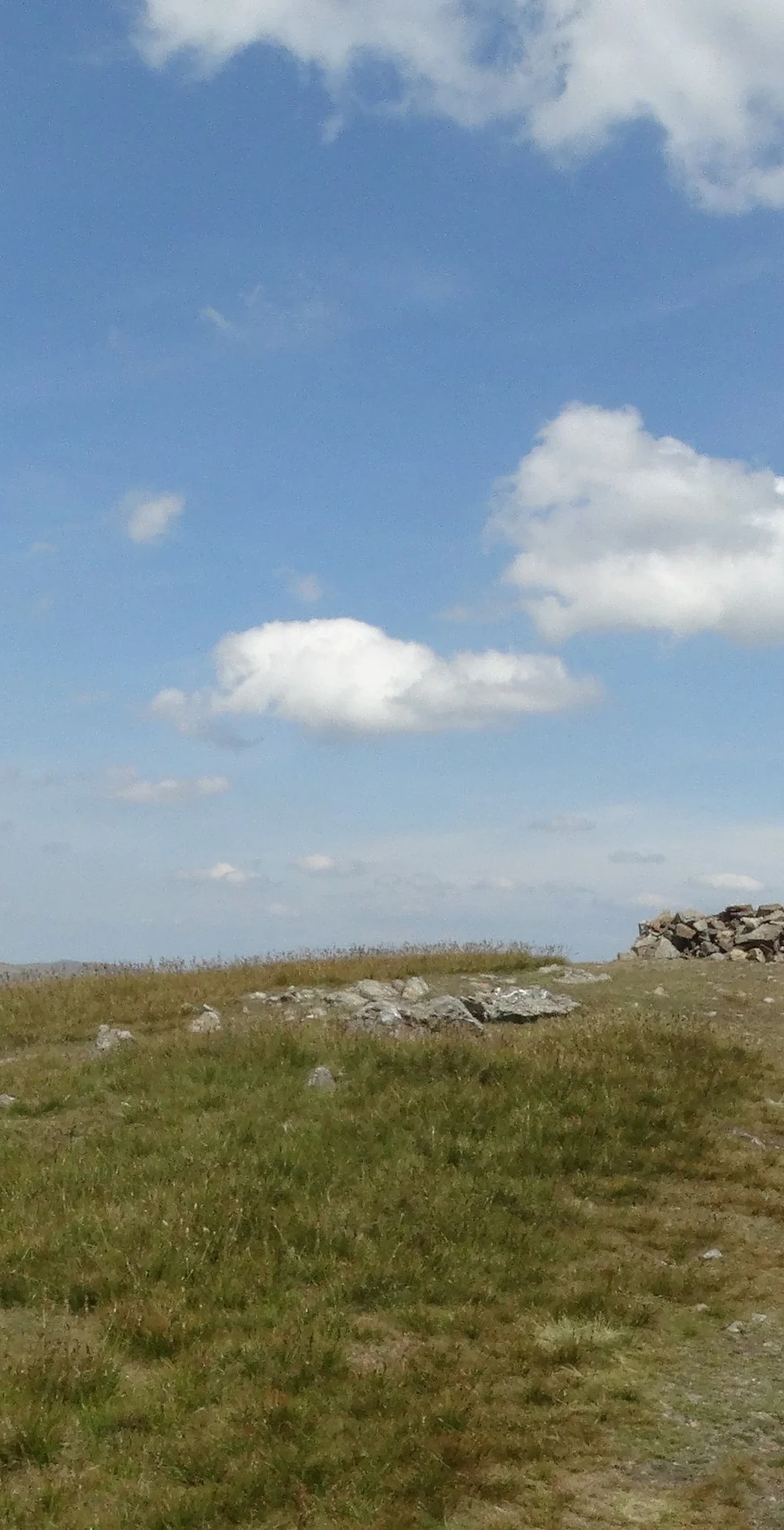


Clough Head is the northern end of the Helvellyn range, with a trig point and a wind shelter on its top and Blencathra filling the view north. Its name comes from the dialect word for a ravine, so it's the hill-top above the ravine, and a steep grassy break through its western cliffs is known as Fisher's Wife's Rake. Below it, Threlkeld Knotts has remains of an Iron Age settlement, and Threlkeld Quarry worked the slopes from 1870.
New to the Wainwrights?Read our guide: What Are The Wainwrights?Trig point/wind shelter
A cap of rhyolitic tuff on volcanic rock, faulted against Skiddaw slates, with microgranite at Threlkeld Knotts.
HewittNuttallBirkettSyngeFellrangerHuMPSimm
Summit Weather
Our Route
Also on this route: Great Dodd, Stybarrow Dodd, Watson's Dodd, High Rigg
Safety: Routes are a guide only. Carry a map and compass and know how to use them, check the weather before you go, and turn back if in doubt. You use this route at your own risk.