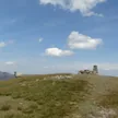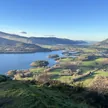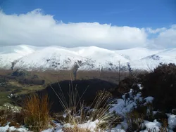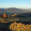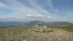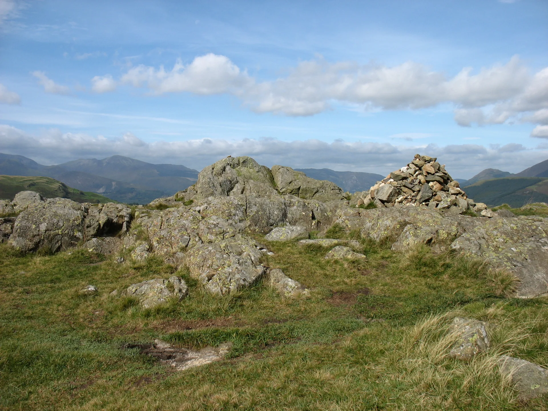


High Rigg, also called Naddle Fell, is a knobbly ridge with steep, rocky sides and gentler grassy ends; 'rigg' comes from the Old English for a ridge. The little church of St John's in the Vale sits by a dip halfway along, and from there it's a short climb to the top, a rock beside a cairn. Skiddaw, Blencathra and the Helvellyn range surround it, and Thirlmere shows to the south.
New to the Wainwrights?Read our guide: What Are The Wainwrights?Rock 5 m west of cairn
Faulted andesite lavas with much gravel and scree, steep and rocky on the east and west sides.
BirkettSyngeFellrangerMarilyn
Summit Weather
Our Route
Also on this route: Great Dodd, Stybarrow Dodd, Watson's Dodd, Clough Head
Safety: Routes are a guide only. Carry a map and compass and know how to use them, check the weather before you go, and turn back if in doubt. You use this route at your own risk.