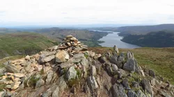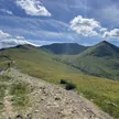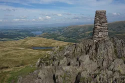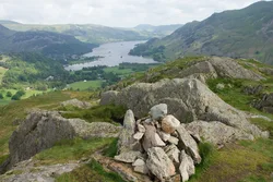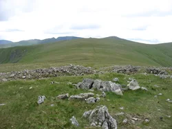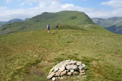



Glenridding Dodd is a short heathery ridge of rocky knolls and marshy hollows right above Glenridding village, with a cairn on an outcrop at its western end. From the eastern end you look down on almost the whole of Ullswater. Just west of the top, a boundary stone carved with M and H once divided the Marshall family's Patterdale estate from the Howards' Greystoke land, and the name Glenridding is thought to mean 'valley full of bracken'.
New to the Wainwrights?Read our guide: What Are The Wainwrights?Cairn on rocky outcrop
Birker Fell andesite lava, with heather, rocky knolls, oak woods below and larch to the north.
BirkettSyngeFellranger
Summit Weather
Our Route
Also on this route: Hart Side, Sheffield Pike
Safety: Routes are a guide only. Carry a map and compass and know how to use them, check the weather before you go, and turn back if in doubt. You use this route at your own risk.