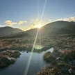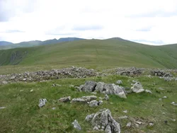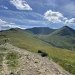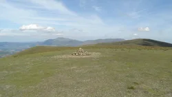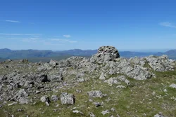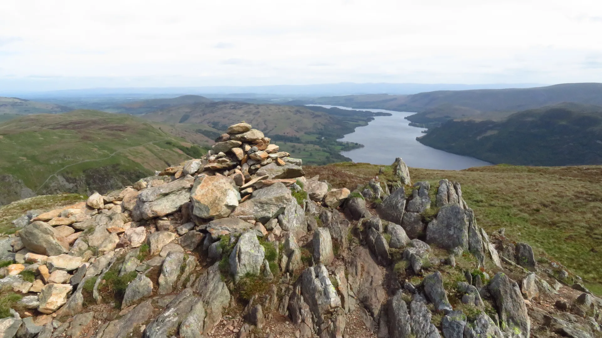


Sheffield Pike stands between Glenridding and Glencoyne, with steep crags and scree on its southern side. The summit cairn holds an old boundary stone carved with H and M, the letters E.R. and the date 1830, marking the line between the Howard and Marshall estates. Nobody knows for sure where the name comes from. Below it on the Glenridding side are the spoil heaps of Greenside, once the richest lead mine in the Lake District, which closed in 1962.
New to the Wainwrights?Read our guide: What Are The Wainwrights?Cairn
Andesite lavas of the Borrowdale Volcanic Group, with a marshy, heathery top and craggy flanks.
HewittNuttallBirkettSyngeFellrangerSimm
Summit Weather
Our Route
Also on this route: Hart Side, Glenridding Dodd
Safety: Routes are a guide only. Carry a map and compass and know how to use them, check the weather before you go, and turn back if in doubt. You use this route at your own risk.