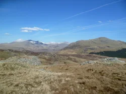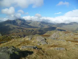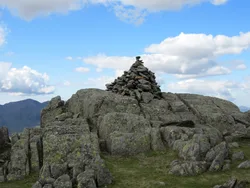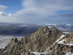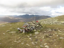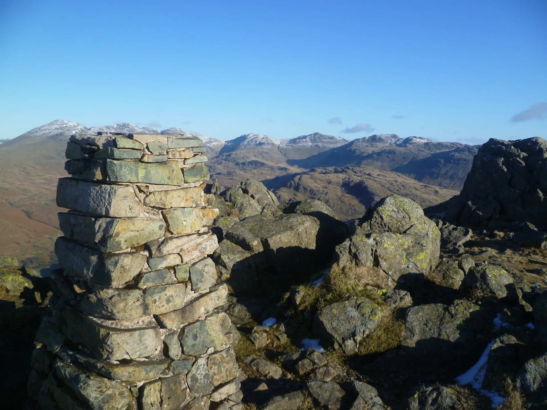


Three rocky tors crown Harter Fell, with an Ordnance Survey trig pillar on the western one, although the middle tor is the true high point. From the top you look up Eskdale to the Scafells, Bowfell and Crinkle Crags, and south to the Duddon estuary and Morecambe Bay. Conifer plantations cover its southern and eastern flanks, and Victorian miners worked copper near Spothow Gill in the north-west corner.
New to the Wainwrights?Read our guide: What Are The Wainwrights?Rock tor
Andesite and dacite lava flows of the Borrowdale Volcanic Group, rising to a craggy, conical top.
HewittNuttallBirkettSyngeFellrangerMarilynSimm
Summit Weather
Our Route
Also on this route: Hard Knott, Green Crag
Safety: Routes are a guide only. Carry a map and compass and know how to use them, check the weather before you go, and turn back if in doubt. You use this route at your own risk.