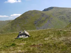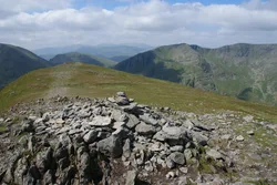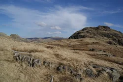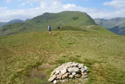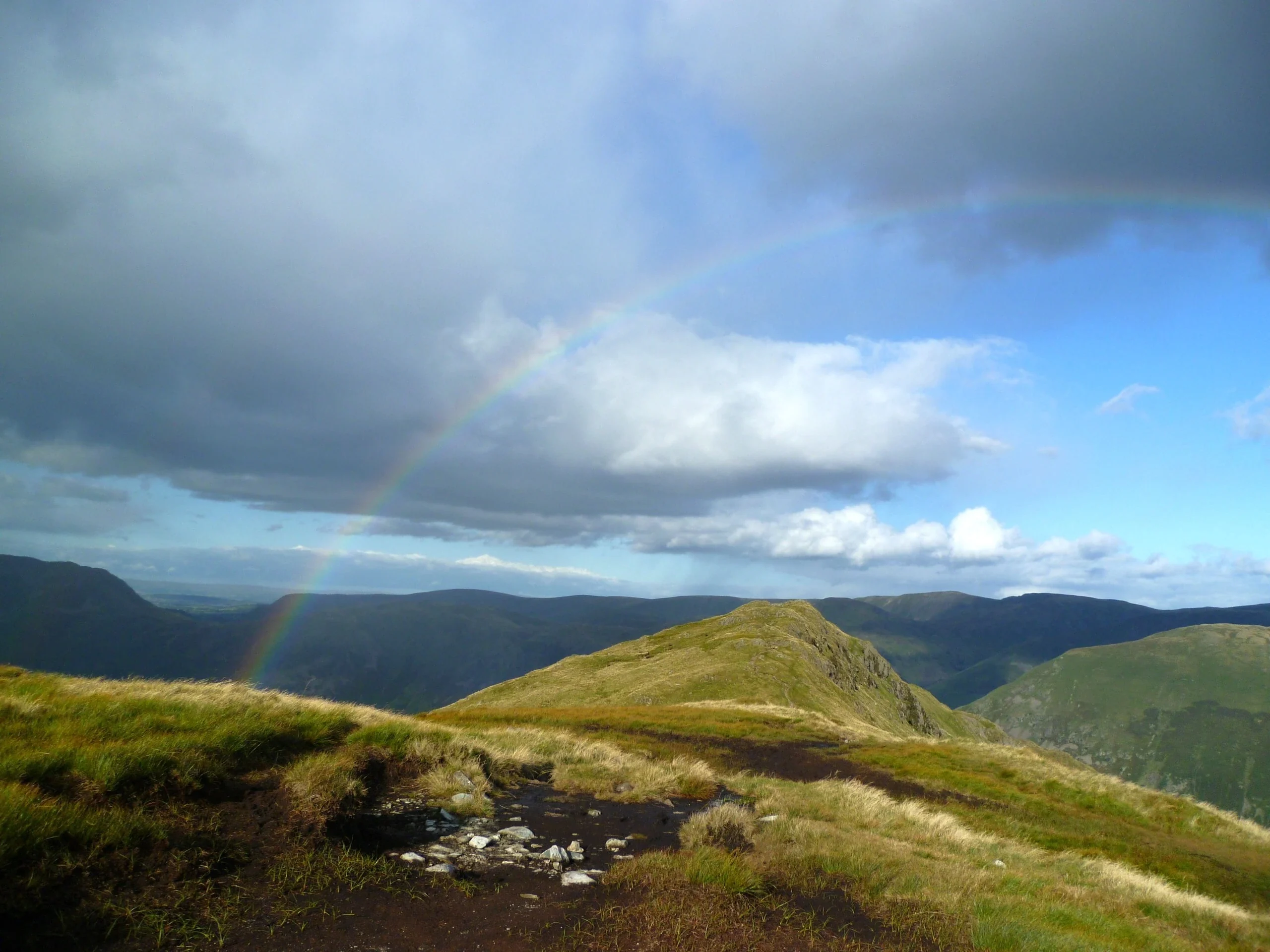

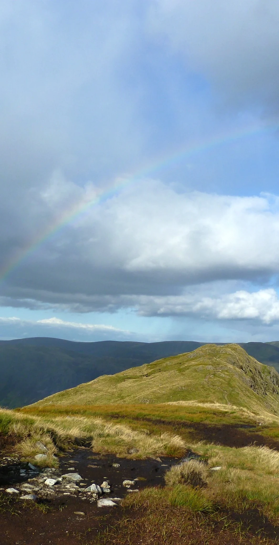


Hartsop above How is a long ridge between Deepdale and Dovedale, ending in native woodland above Brothers Water. Wainwright noted that its local name was Gill Crag, and the top is a grassy knoll several metres higher than any other point on the ridge, looking straight into the craggy heads of both dales. Low Wood at its foot hides Hartsop Hall Mine, a lead mine worked from at least the 17th century until 1942.
New to the Wainwrights?Read our guide: What Are The Wainwrights?Knoll
Mostly grassy ridge with large rock outcrops, especially on the Deepdale side.
BirkettSyngeFellranger
Summit Weather
Our Route
Also on this route: St Sunday Crag, Birks, Arnison Crag
Safety: Routes are a guide only. Carry a map and compass and know how to use them, check the weather before you go, and turn back if in doubt. You use this route at your own risk.