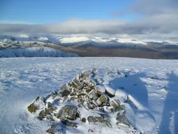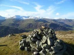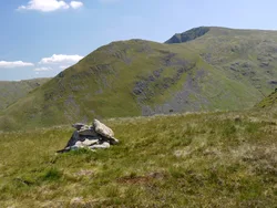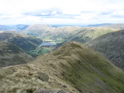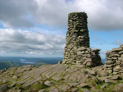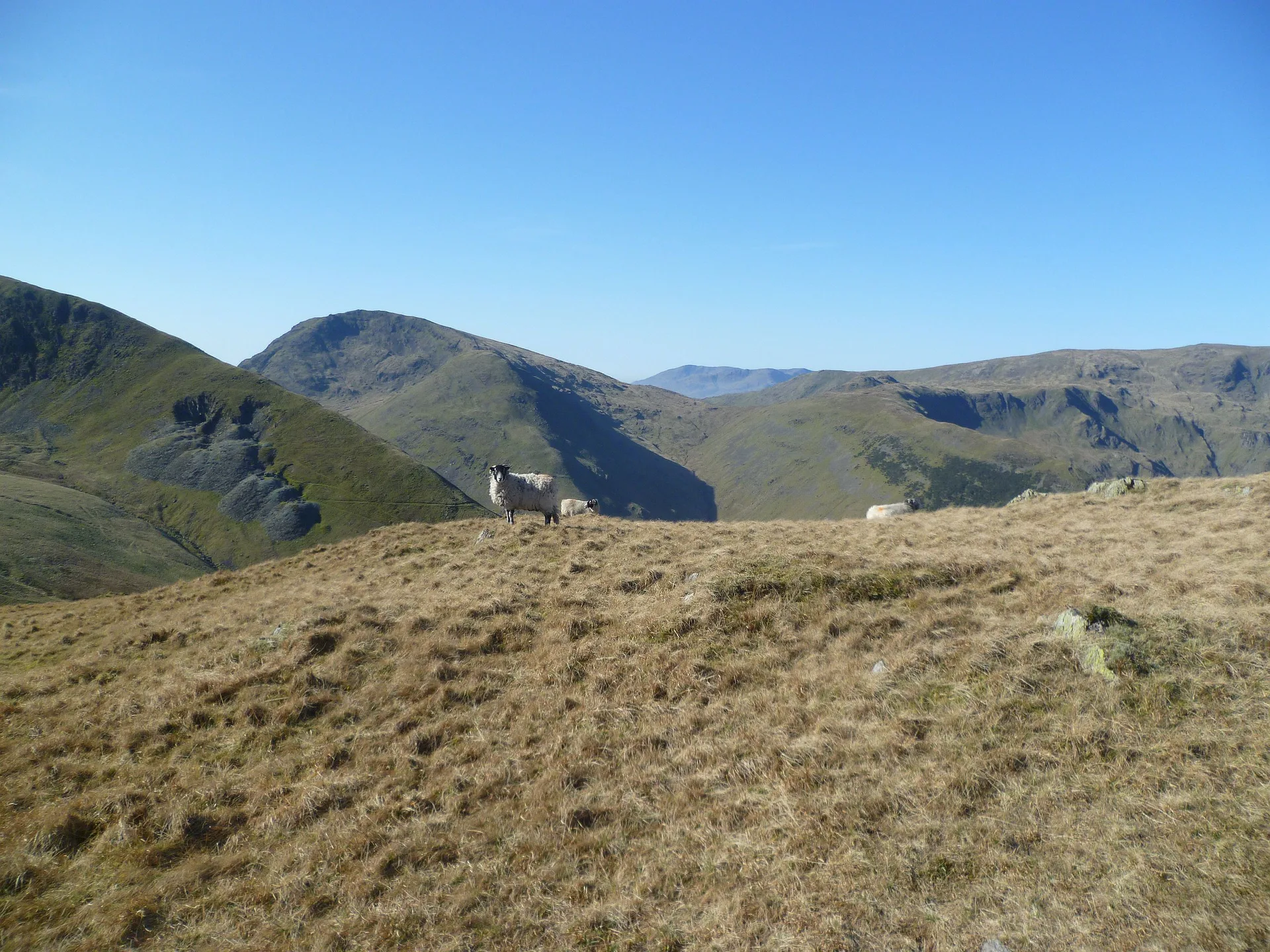


Hartsop Dodd is the blunt end of a broad grassy ridge, falling steeply to the valley near Hartsop and Brothers Water. A wall crosses the top, and the true high point is a grassy mound with the remains of a cairn, just south of the wall and the fence post Wainwright took as the summit. Old workings on the ridge nose above Hartsop belong to Low Hartsop Mine, a lead venture that ran from 1867 to 1870 and never paid.
New to the Wainwrights?Read our guide: What Are The Wainwrights?Remains of cairn on grassy mound
Broad grassy ridge ending in a small grassy dome, with steep slopes down to the valley.
NuttallBirkettSyngeFellranger
Summit Weather
Our Route
Also on this route: Thornthwaite Crag, Caudale Moor, Gray Crag
Safety: Routes are a guide only. Carry a map and compass and know how to use them, check the weather before you go, and turn back if in doubt. You use this route at your own risk.